


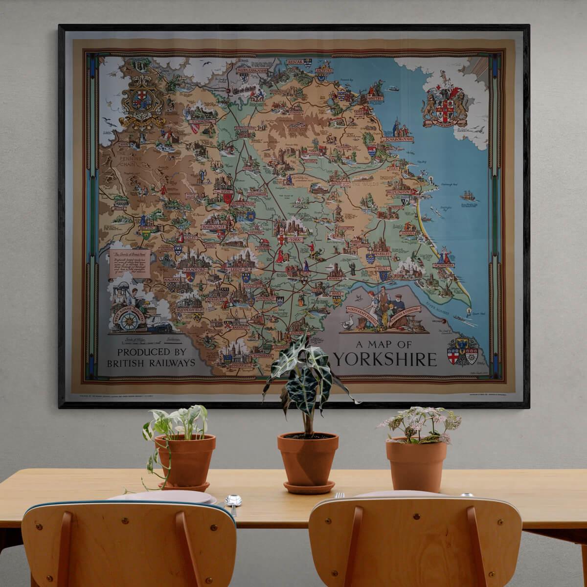
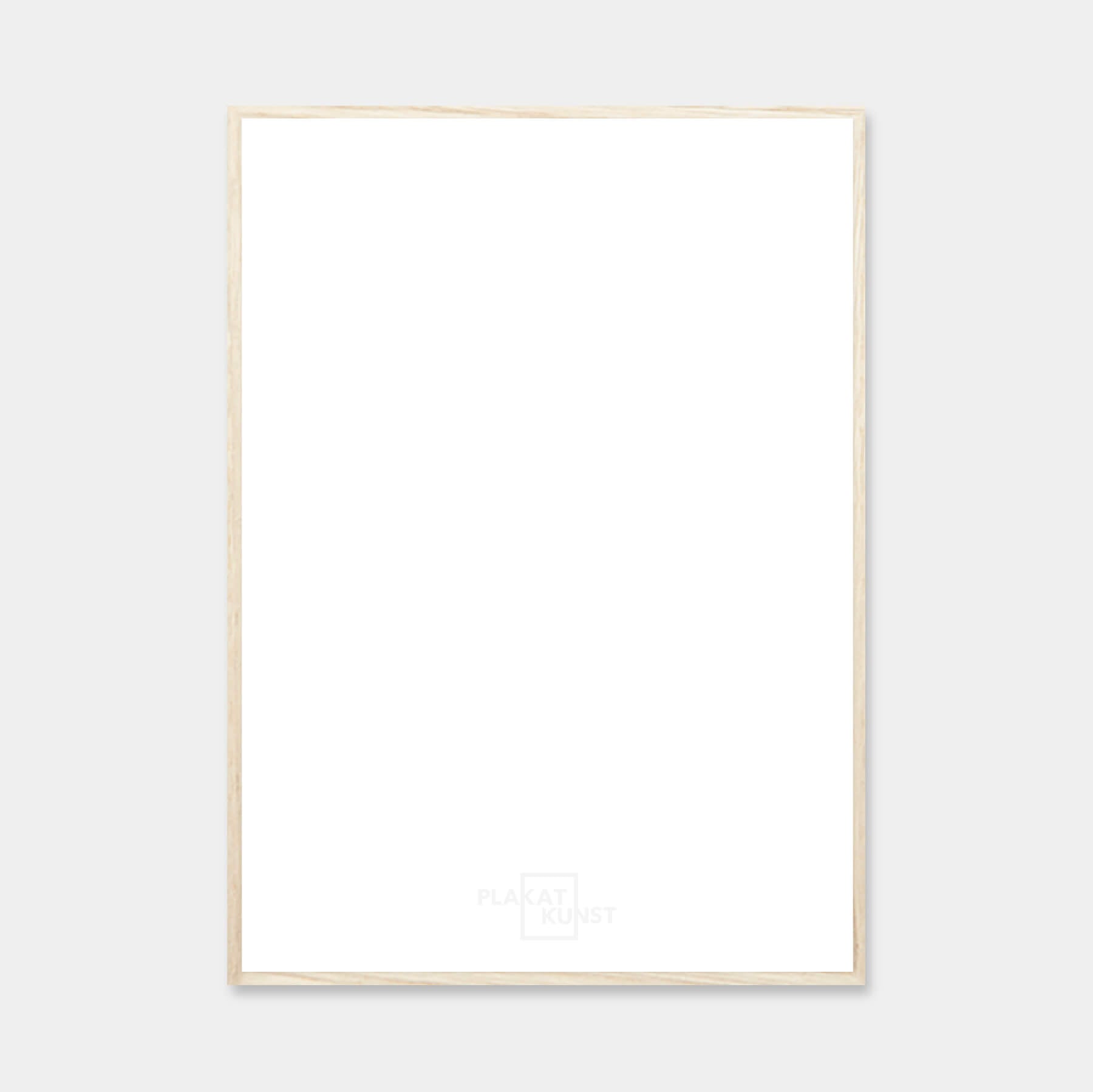
A Map of Yorkshire - 1925
| Decade: | Estra Clark |
| Published by: | British Railways |
| Dimensions: | 126 x 102 cm / 49 x 40 in |
| Country: | England |
| Condition: | 9/10 |

✓ Original - not a reprint!
✓ Delivery in 2-4 working days
✓ 100 days right of return
Large and illustrative map of Yorkshire, England's largest county. The largest cities in Yorkshire are Leeds and Sheffield.
Condition: 9/10 - This impressive map has a lot of patina, and small scratches on the sides. You can see that the map has been rolled up, but really nice condition.
Frame is not included. See our large selection of exclusive frames that can be precisely adapted to the map.
Condition: 9/10 - This impressive map has a lot of patina, and small scratches on the sides. You can see that the map has been rolled up, but really nice condition.
Frame is not included. See our large selection of exclusive frames that can be precisely adapted to the map.
0
A Map of Yorkshire - 1925
Sale price$1,139.00
Regular price
Choose options
A Map of Yorkshire - 1925
Sale price$1,139.00
Regular price
Should the poster be framed?
Custom-size frames
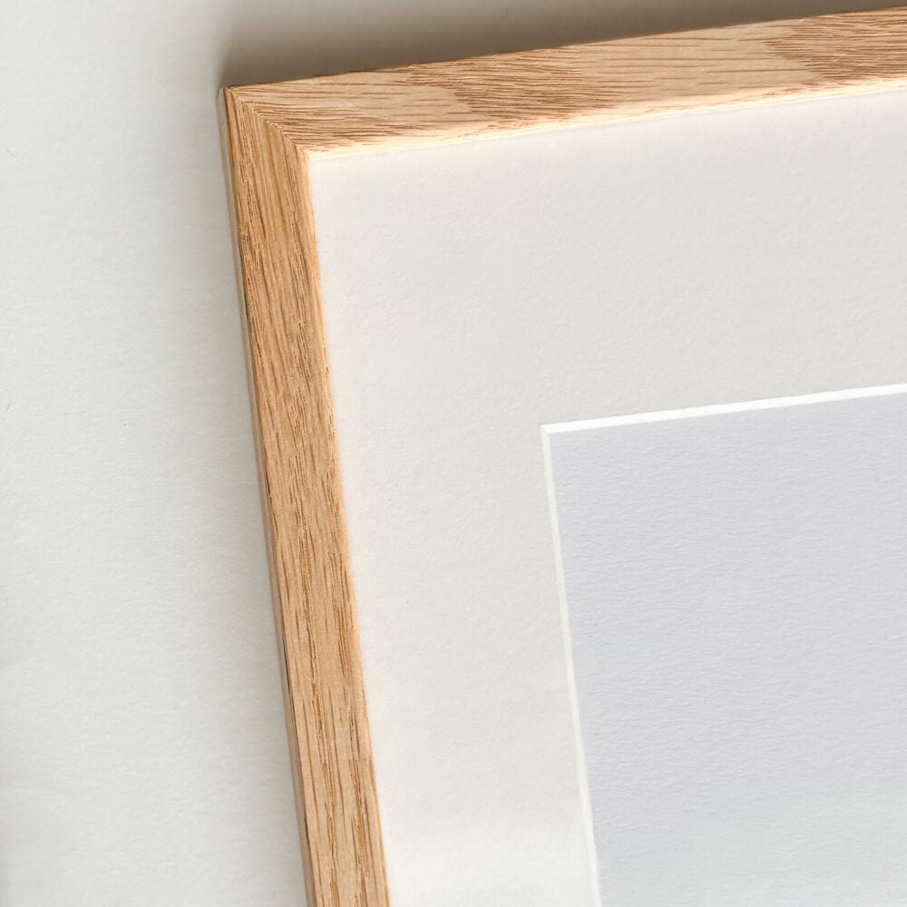
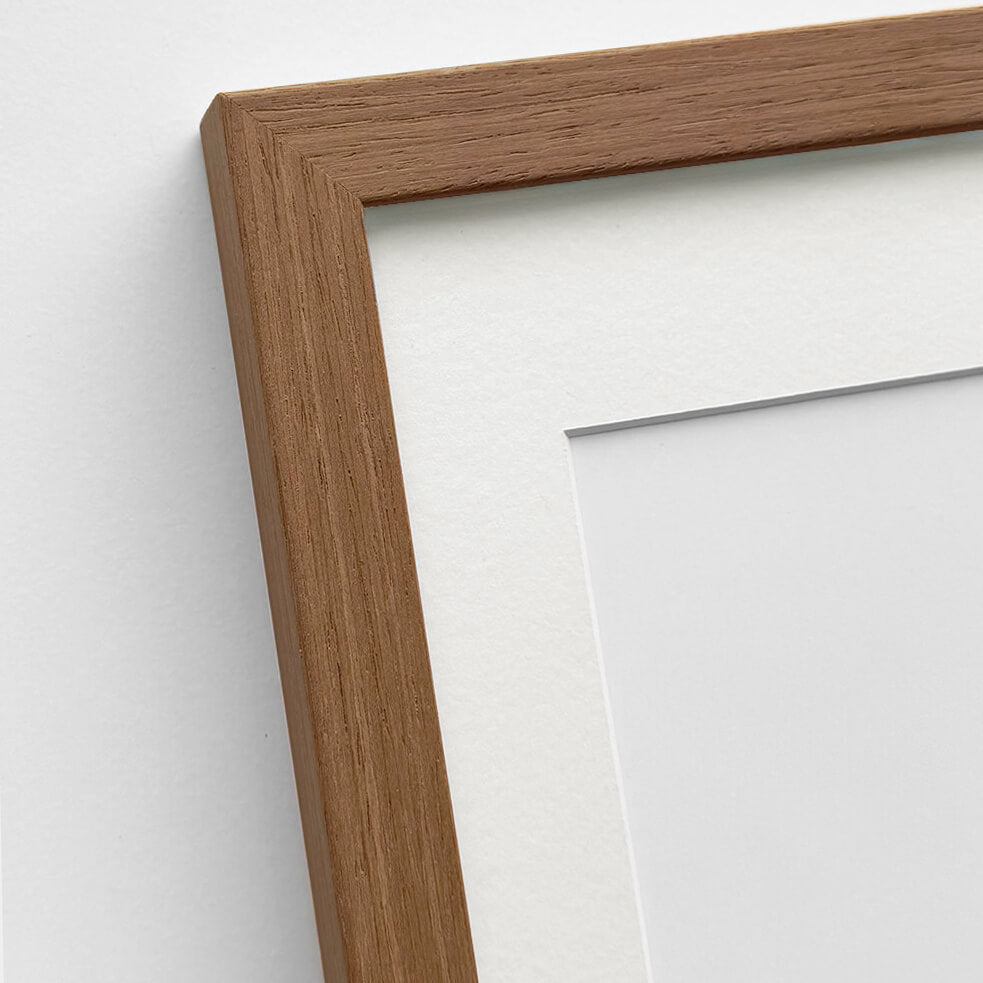
Custom size oak frame - Wide (20 mm)
Sale price$16.00
From
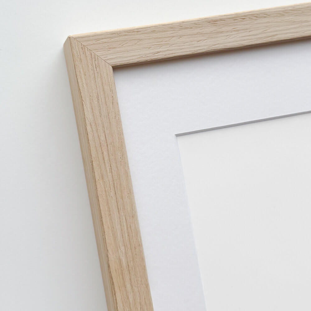
Solid oak frame - Custom size - Narrow (12 mm)
Sale price$16.00
From

Picture frame in light wood - Wide (20 mm) - Custom Size
Sale price$16.00
From
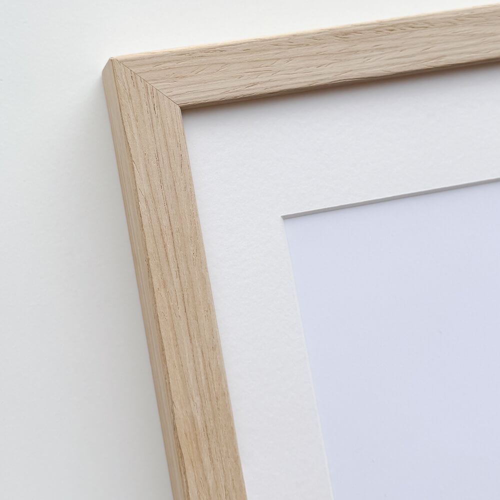
Light oak frame - Narrow (15 mm) - Custom Size
Sale price$15.00
From
Dark oak frame - Wide (20 mm) - Custom size
Sale price$16.00
From
Wallnut wooden frame - Narrow (15 mm) - Custom size
Sale price$15.00
From

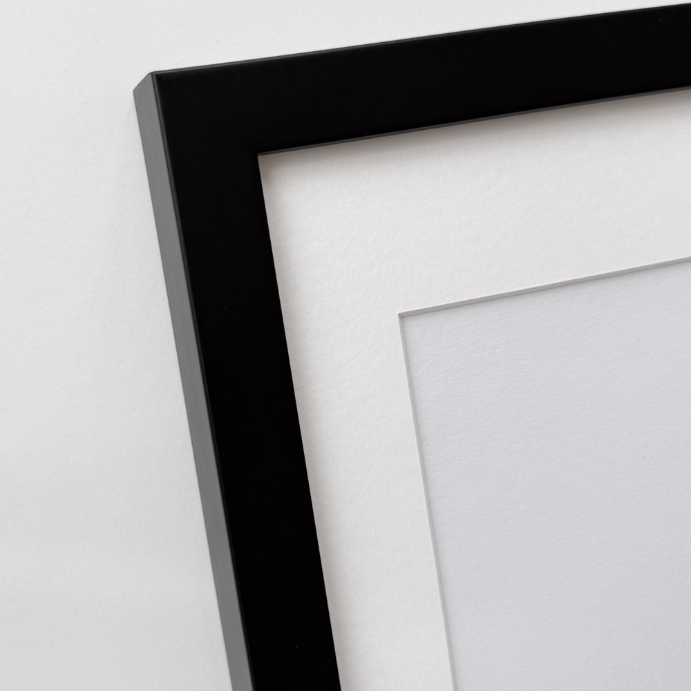
Black wooden frame - Wide (20 mm) - Custom Size
Sale price$16.00
From


Black wooden frame - Narrow (15 mm) - Custom Size
Sale price$15.00
From

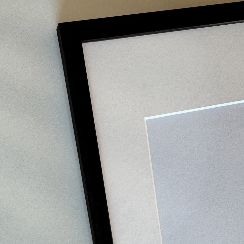
Black wooden frame - Narrow (10 mm) - Custom size
Sale price$15.00
From

Black premium aluminum frame - Narrow (6 mm) - Custom Size
Sale price$16.00
From

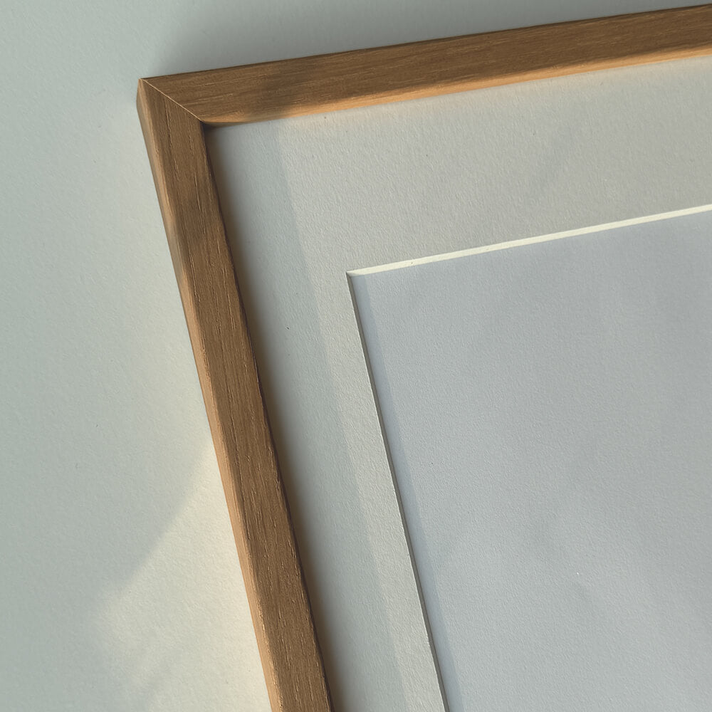
Dark gold wooden frame - Wide (20 mm) - Custom size
Sale price$16.00
From

Dark gold wooden frame - Narrow (15 mm) - Custom size
Sale price$15.00
From

Golden premium aluminum frame - Narrow (6 mm) - Custom size
Sale price$16.00
From


Vintage gold frame - Narrow (15 mm) - Custom Size
Sale price$17.00
From


Vintage silver frame - Narrow (15 mm) - Custom size
Sale price$17.00
From

Silver wooden frame - Wide (20mm) - Custom size
Sale price$16.00
From
Recently added
Vintage lithographs
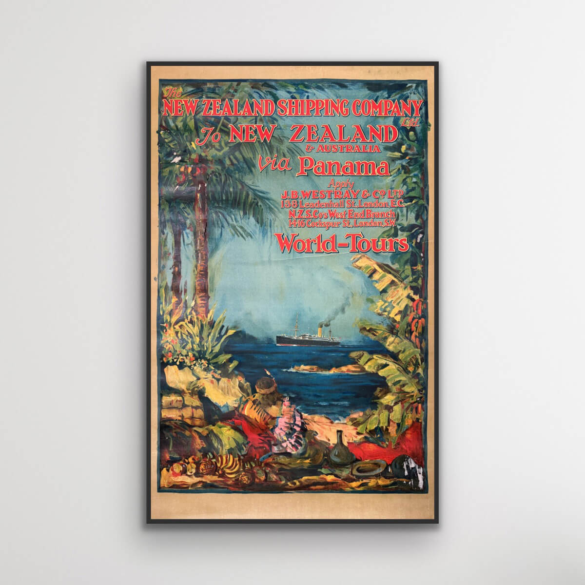
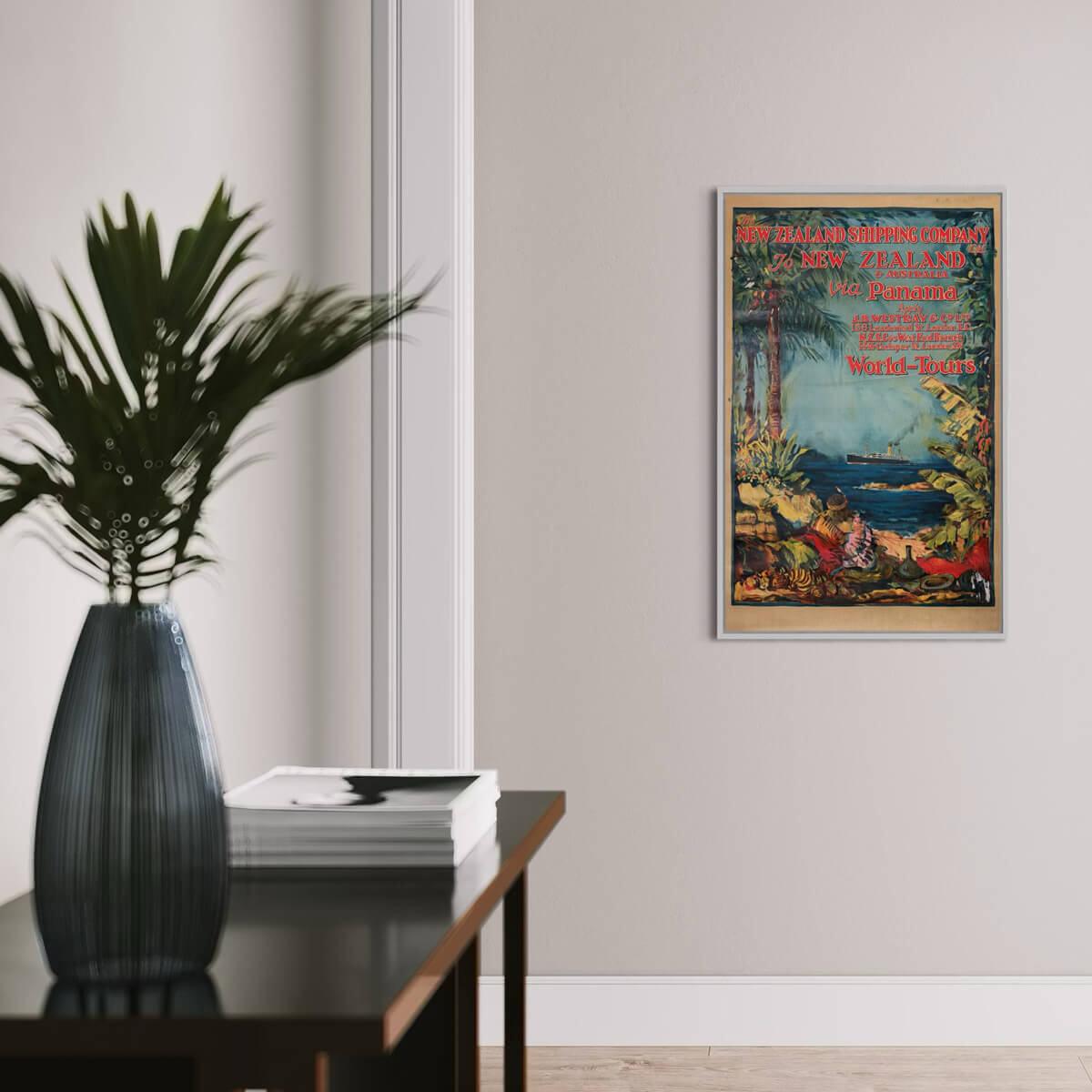
To New Zealand & Australia via Panama
Sale price$3,076.00
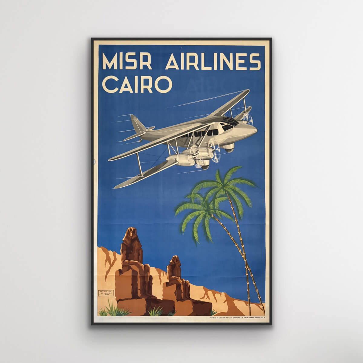
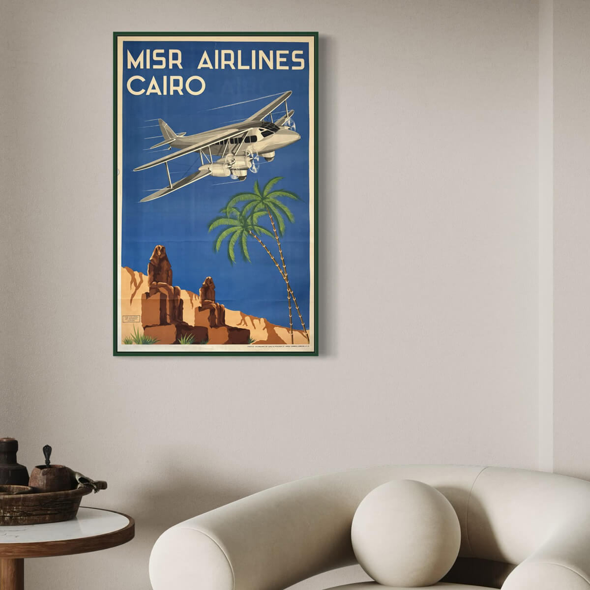
Cairo - Misr Airlines
Sale price$4,153.00
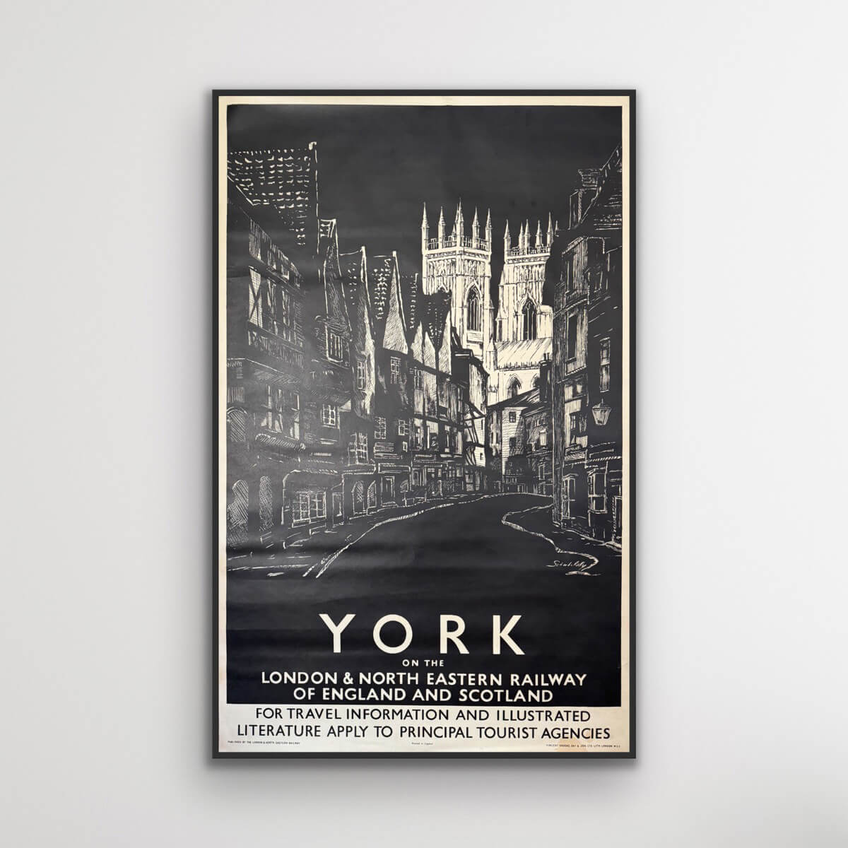
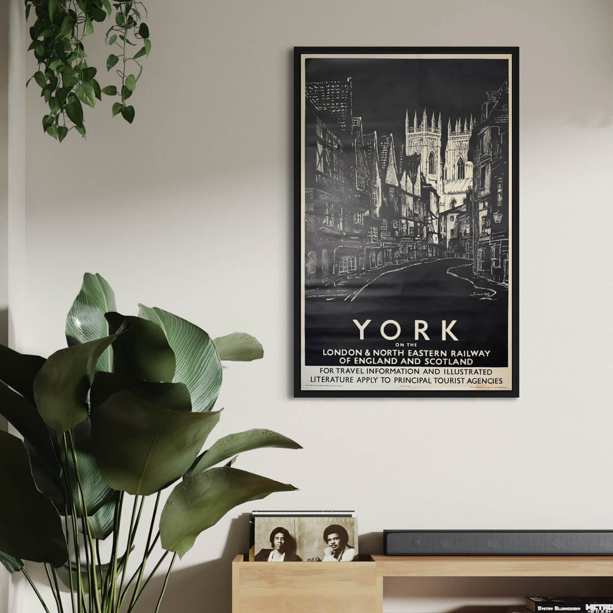
York on the LNER
Sale price$846.00
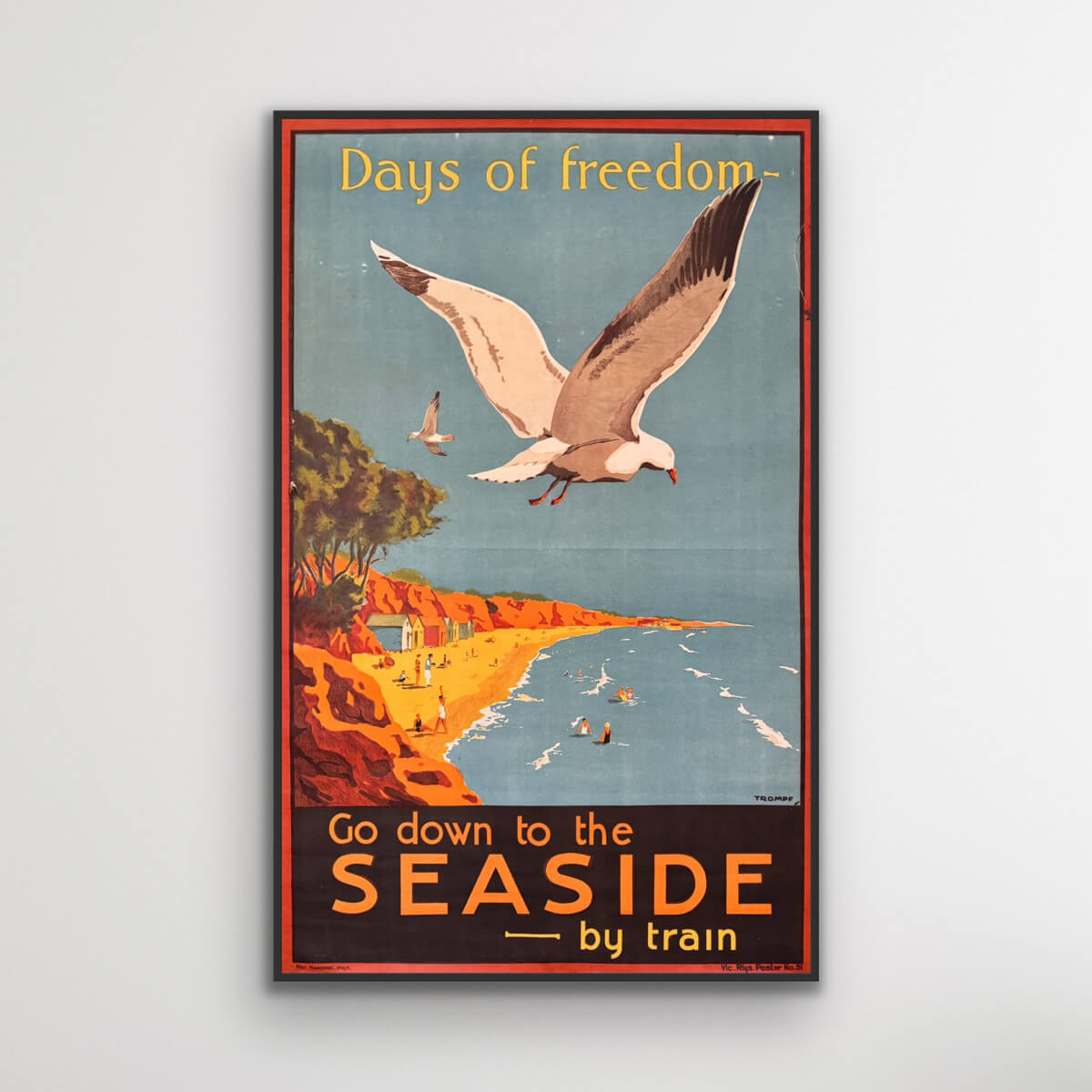
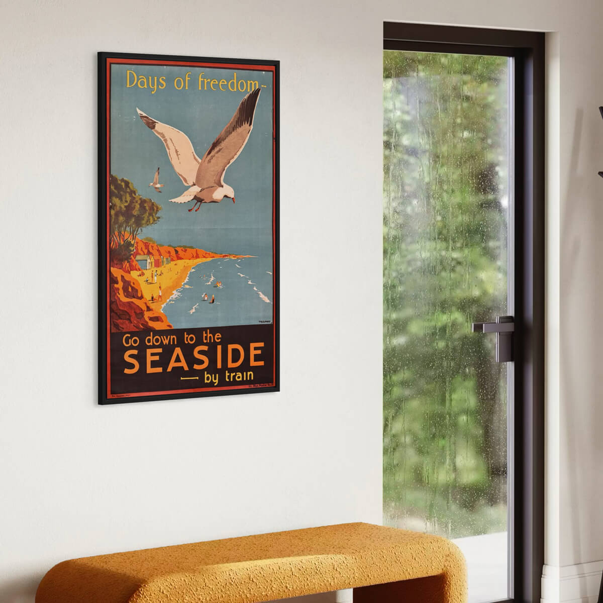
Days of Freedom - Go down to the seaside
Sale price$3,999.00
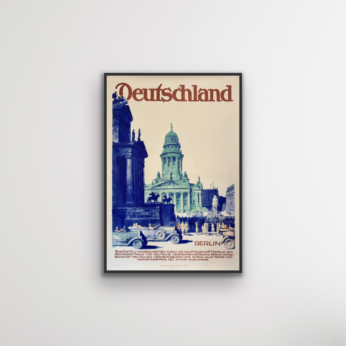
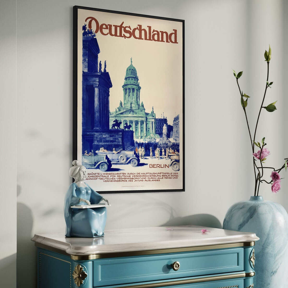
Berlin, Germany
Sale price$1,385.00
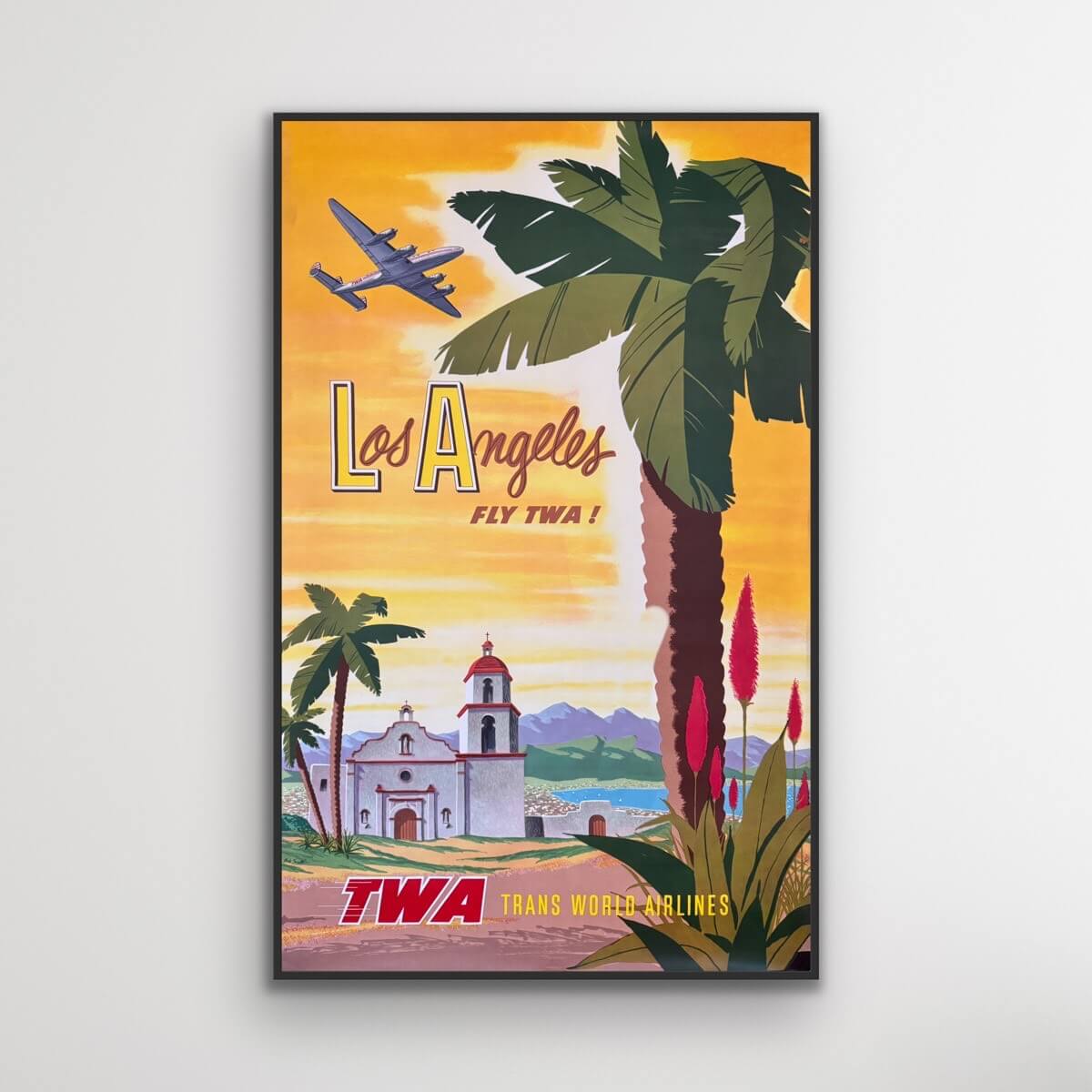
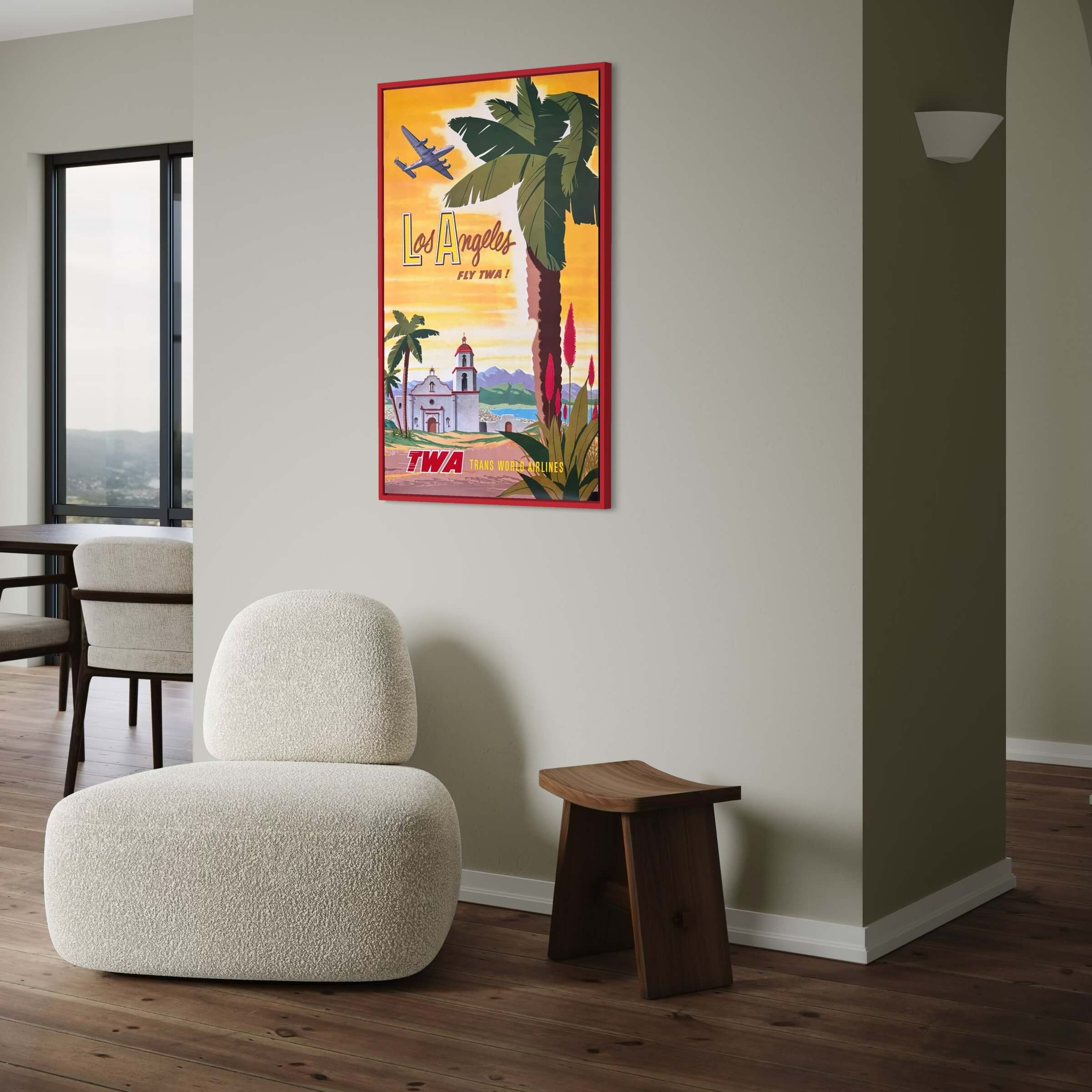
Los Angeles - TWA Flights
Sale price$4,461.00
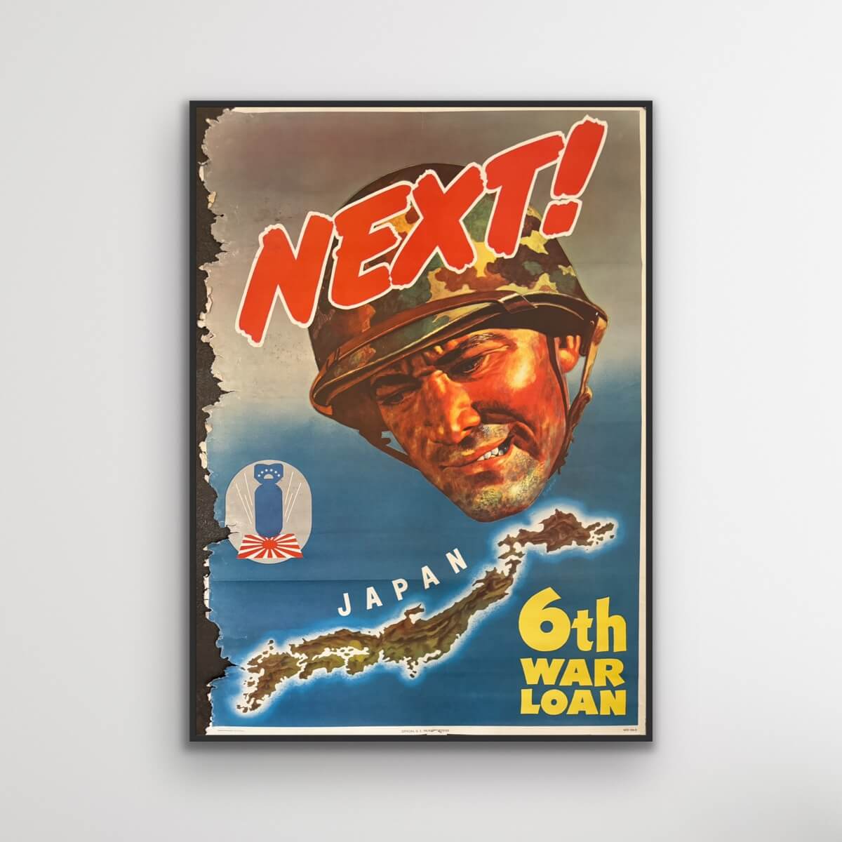
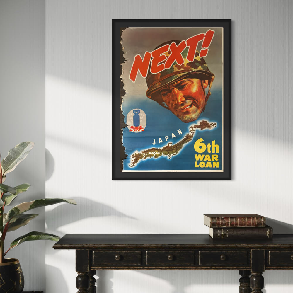
Next! Japan. 6th War Loan.
Sale price$370.00
Batumi USSR
Sale price$1,415.00