

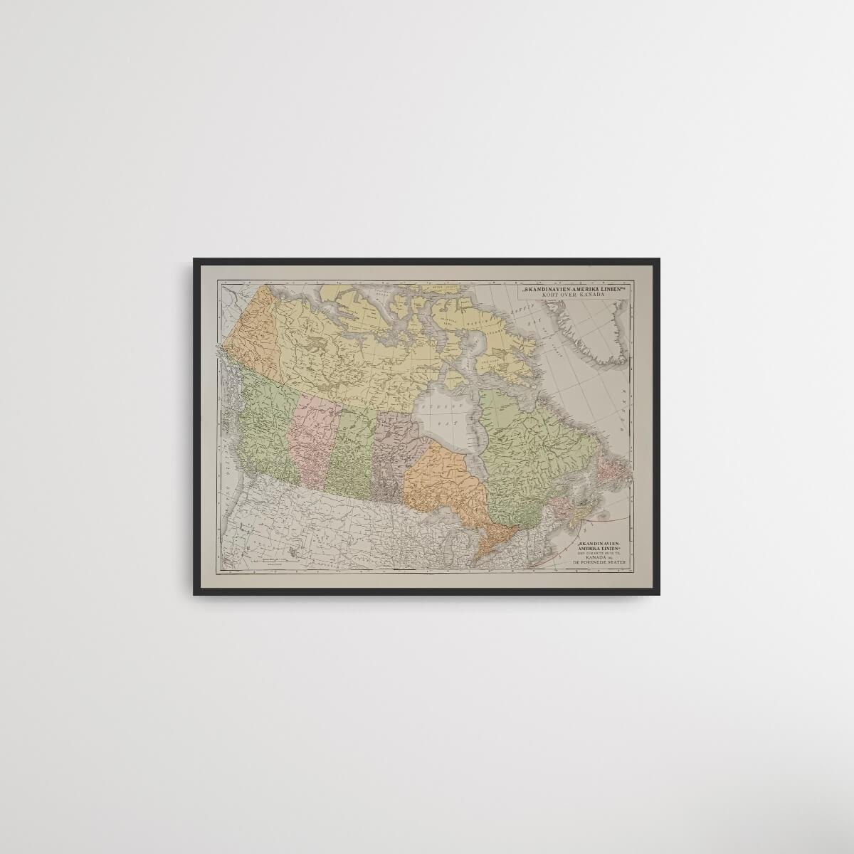
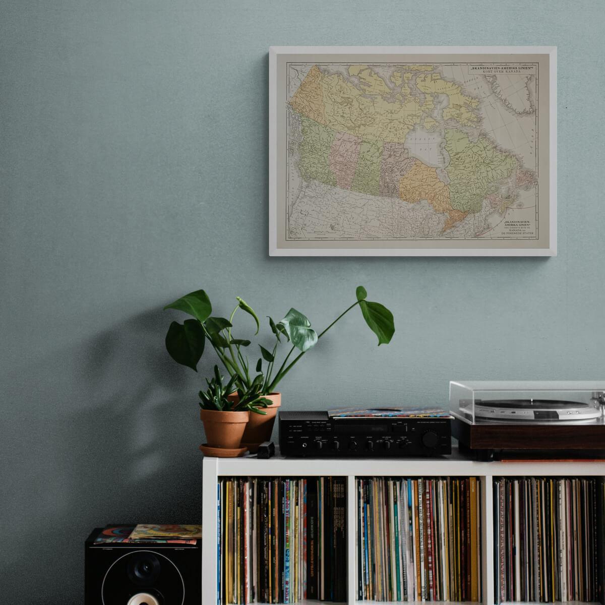
Canada Map - Scandinavia-America Line
| Decade: | Unknown |
| Lithographically printed by: | Chr. Cato, Copenhagen |
| Dimensions: | 47 x 59 cm |
| Country: | Denmark, Canada, USA |
| Condition: | 9/10 |

✓ Original - not a reprint!
✓ Delivery in 2-4 working days
✓ 100 days right of return
Old Danish map of Canada, with the Danish text "Scandinavia-America Line - The direct route to Canada and the United States". We do not know exactly when this map is from, but the Scandinavia-America Line existed from 1898 to 1935 with emigrant shipping from Denmark and Norway to New York.
Condition: 9/10 - The map has patina but is otherwise in perfect condition.
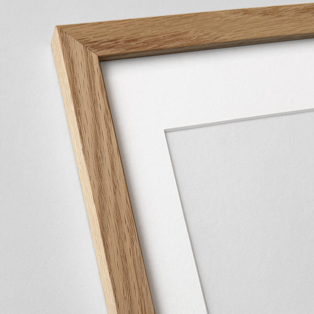
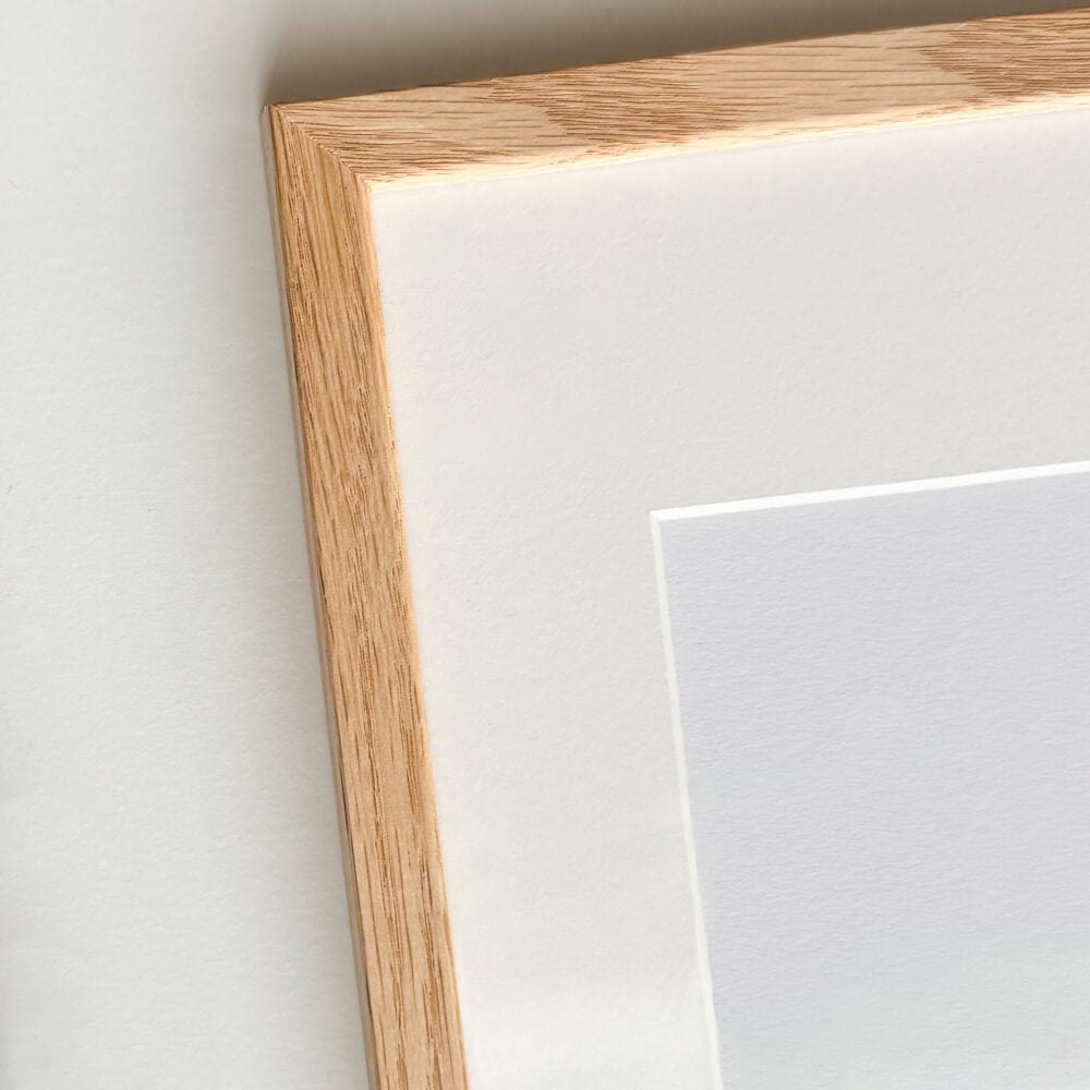
Frame is not included. See our large selection of exclusive frames that can be precisely adapted to the map.
Condition: 9/10 - The map has patina but is otherwise in perfect condition.
Frame is not included. See our large selection of exclusive frames that can be precisely adapted to the map.
0
Canada Map - Scandinavia-America Line
Sale price$154.00
Regular price
Choose options
Canada Map - Scandinavia-America Line
Sale price$154.00
Regular price
Should the poster be framed?
Custom-size frames

Custom size oak frame - Wide (20 mm)
Sale price$16.00
From

Solid oak frame - Custom size - Narrow (12 mm)
Sale price$16.00
From


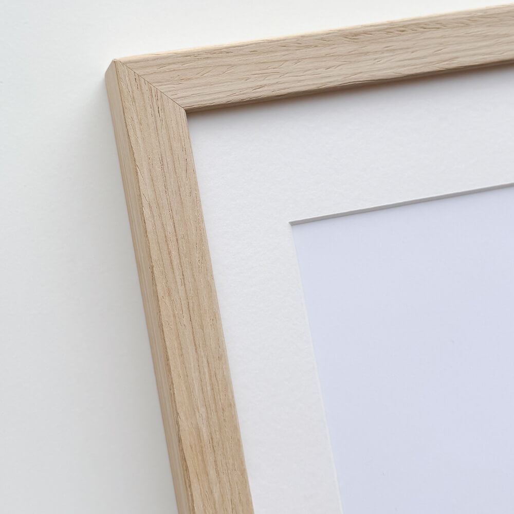
Picture frame in light wood - Wide (20 mm) - Custom Size
Sale price$16.00
From

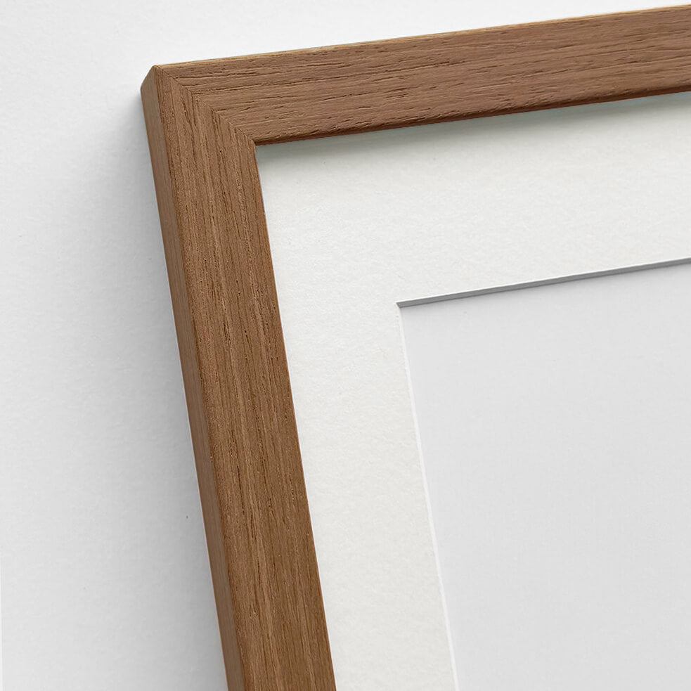
Light oak frame - Narrow (15 mm) - Custom Size
Sale price$15.00
From

Dark oak frame - Wide (20 mm) - Custom size
Sale price$16.00
From

Wallnut wooden frame - Narrow (15 mm) - Custom size
Sale price$15.00
From

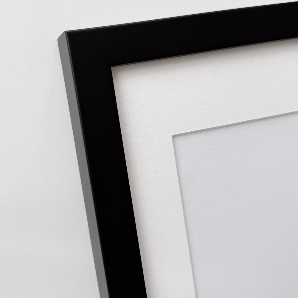
Black wooden frame - Wide (20 mm) - Custom Size
Sale price$16.00
From


Black wooden frame - Narrow (15 mm) - Custom Size
Sale price$15.00
From


Black wooden frame - Narrow (10 mm) - Custom size
Sale price$15.00
From


Black premium aluminum frame - Narrow (6 mm) - Custom Size
Sale price$16.00
From


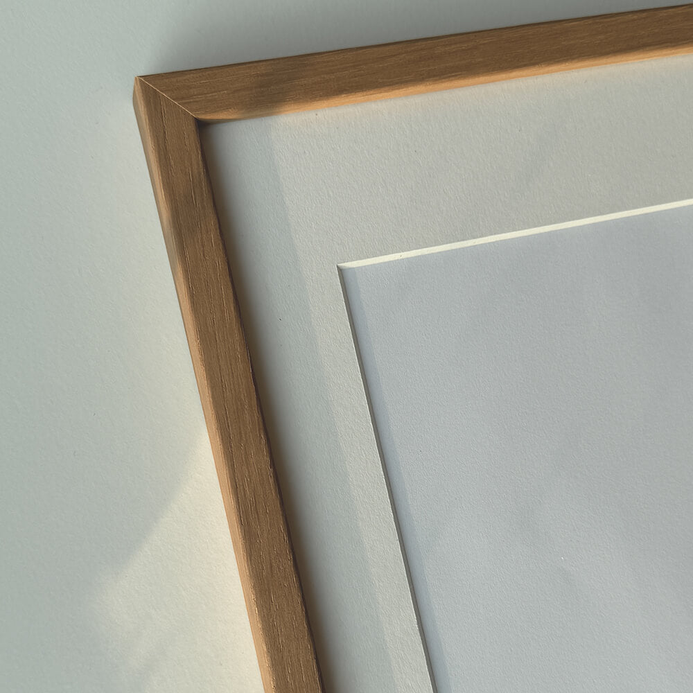
Dark gold wooden frame - Wide (20 mm) - Custom size
Sale price$16.00
From


Dark gold wooden frame - Narrow (15 mm) - Custom size
Sale price$15.00
From


Golden premium aluminum frame - Narrow (6 mm) - Custom size
Sale price$16.00
From


Vintage gold frame - Narrow (15 mm) - Custom Size
Sale price$17.00
From


Vintage silver frame - Narrow (15 mm) - Custom size
Sale price$17.00
From


Silver wooden frame - Wide (20mm) - Custom size
Sale price$16.00
From
Recently added
Vintage lithographs
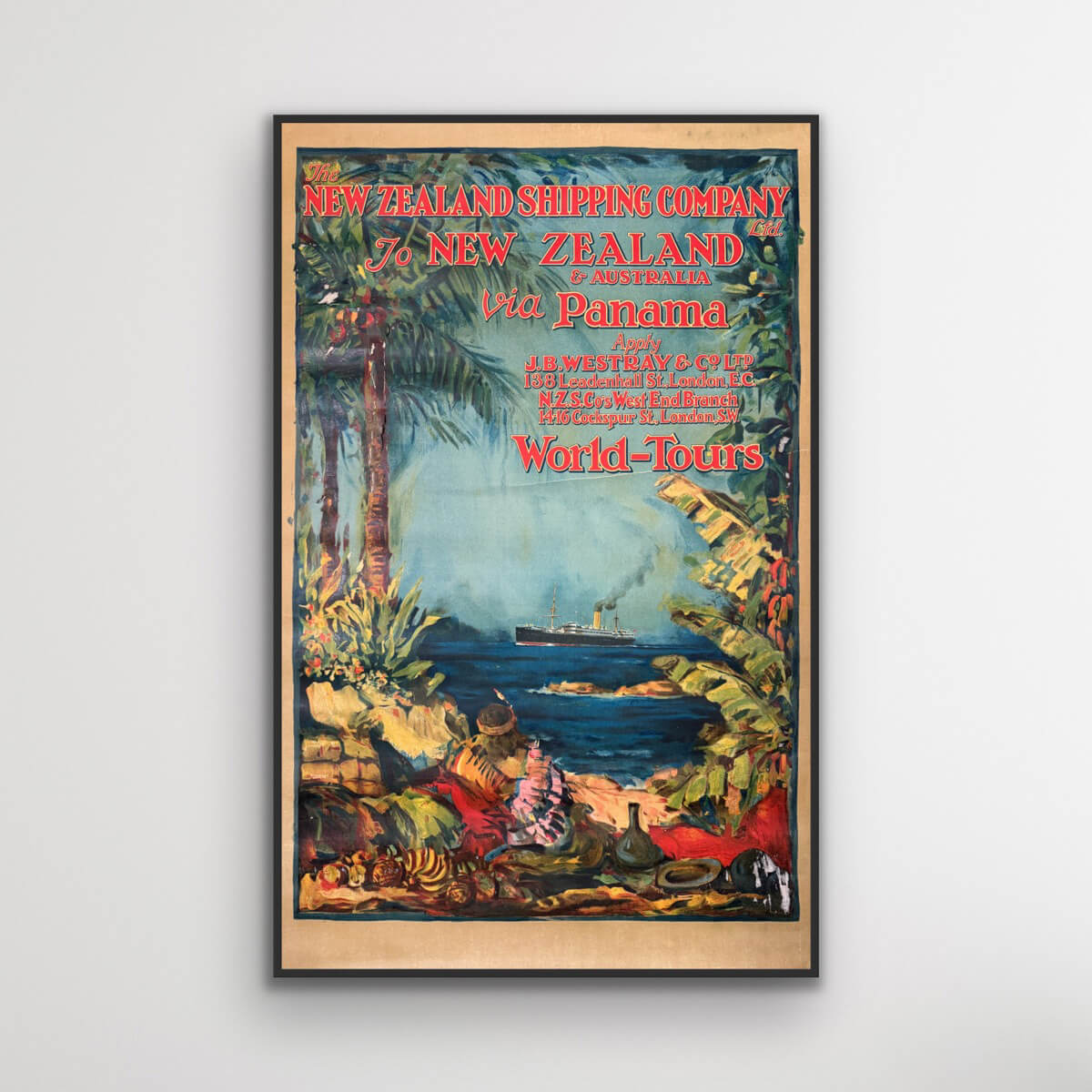
To New Zealand & Australia via Panama
Sale price$3,076.00

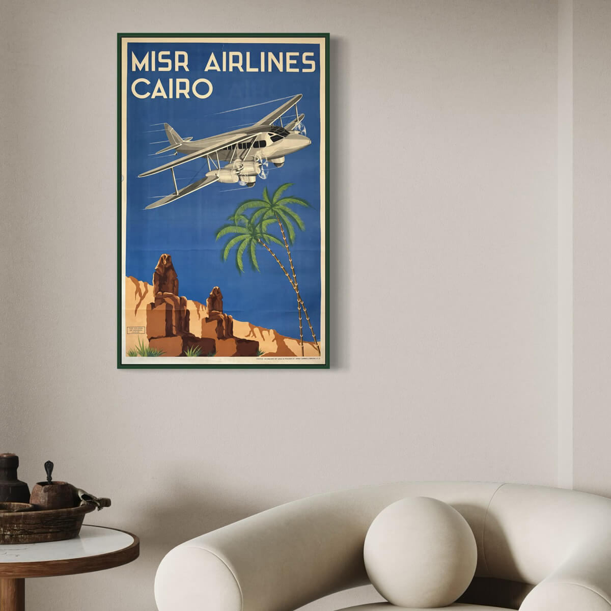
Cairo - Misr Airlines
Sale price$4,153.00
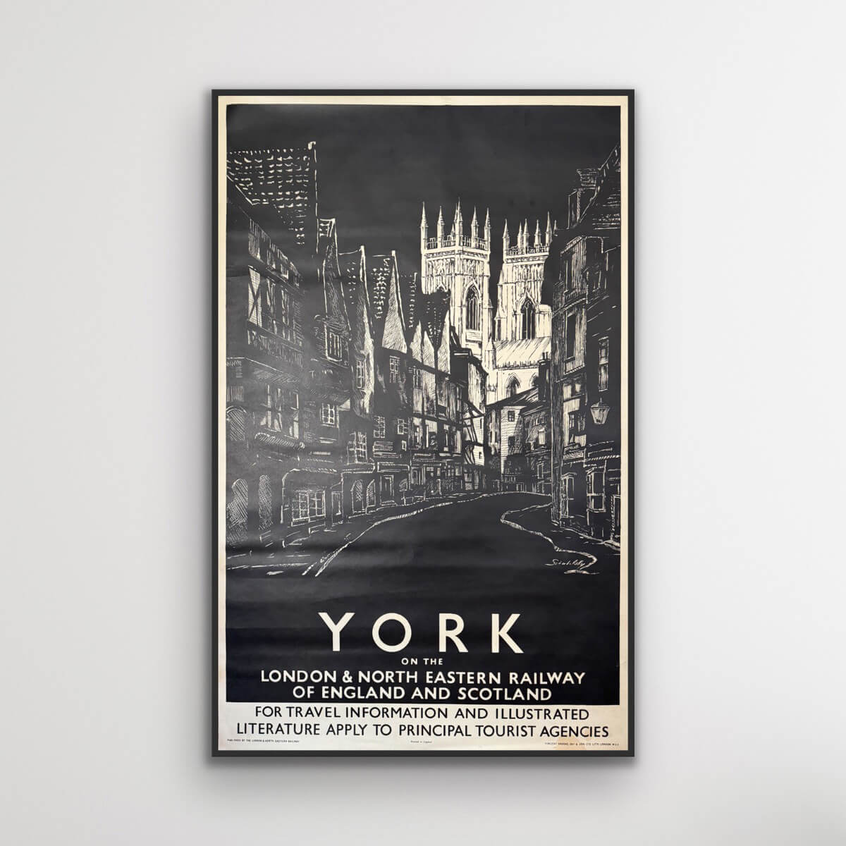
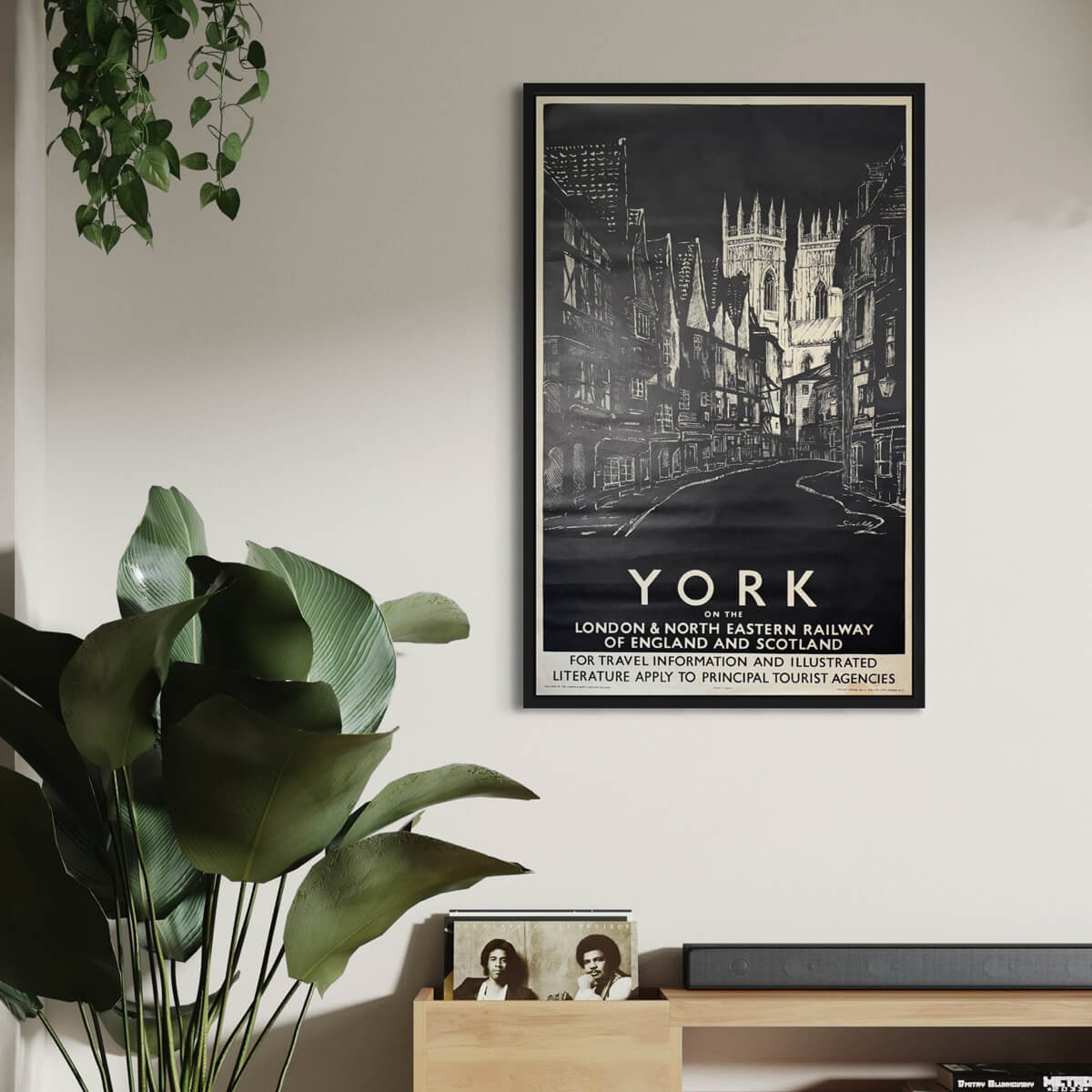
York on the LNER
Sale price$846.00
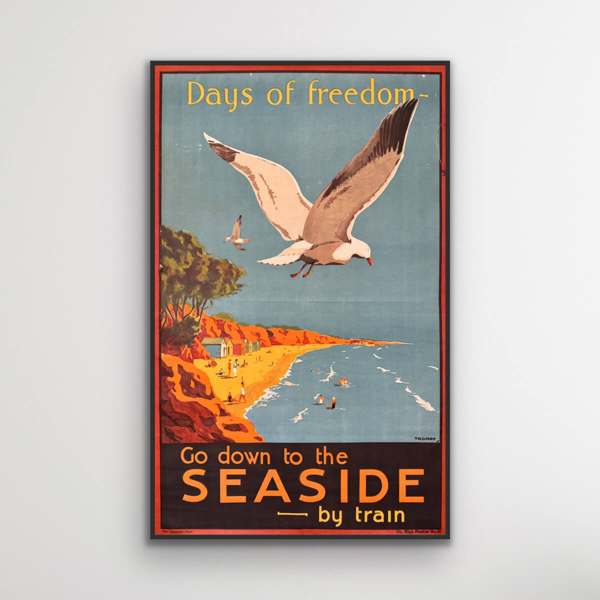
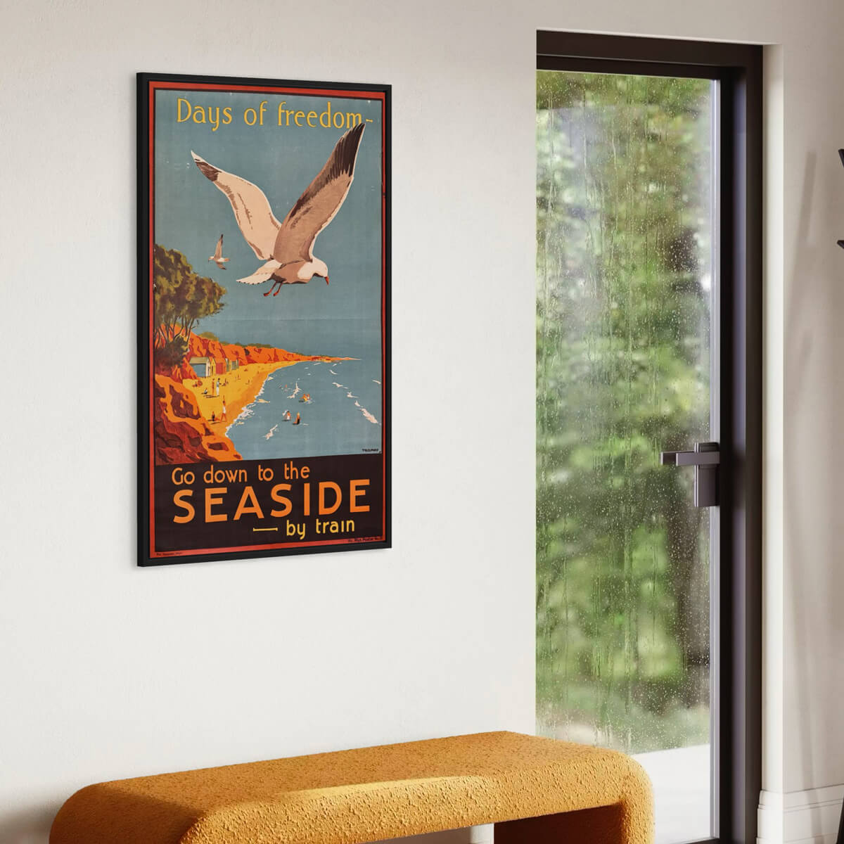
Days of Freedom - Go down to the seaside
Sale price$3,999.00
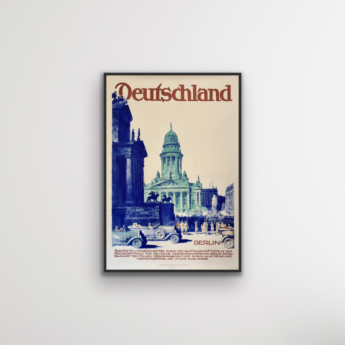

Berlin, Germany
Sale price$1,385.00
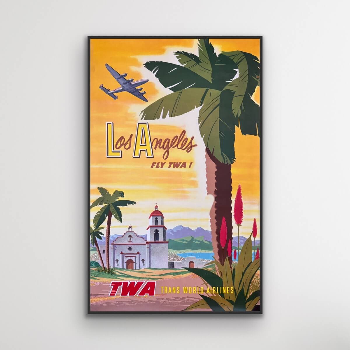
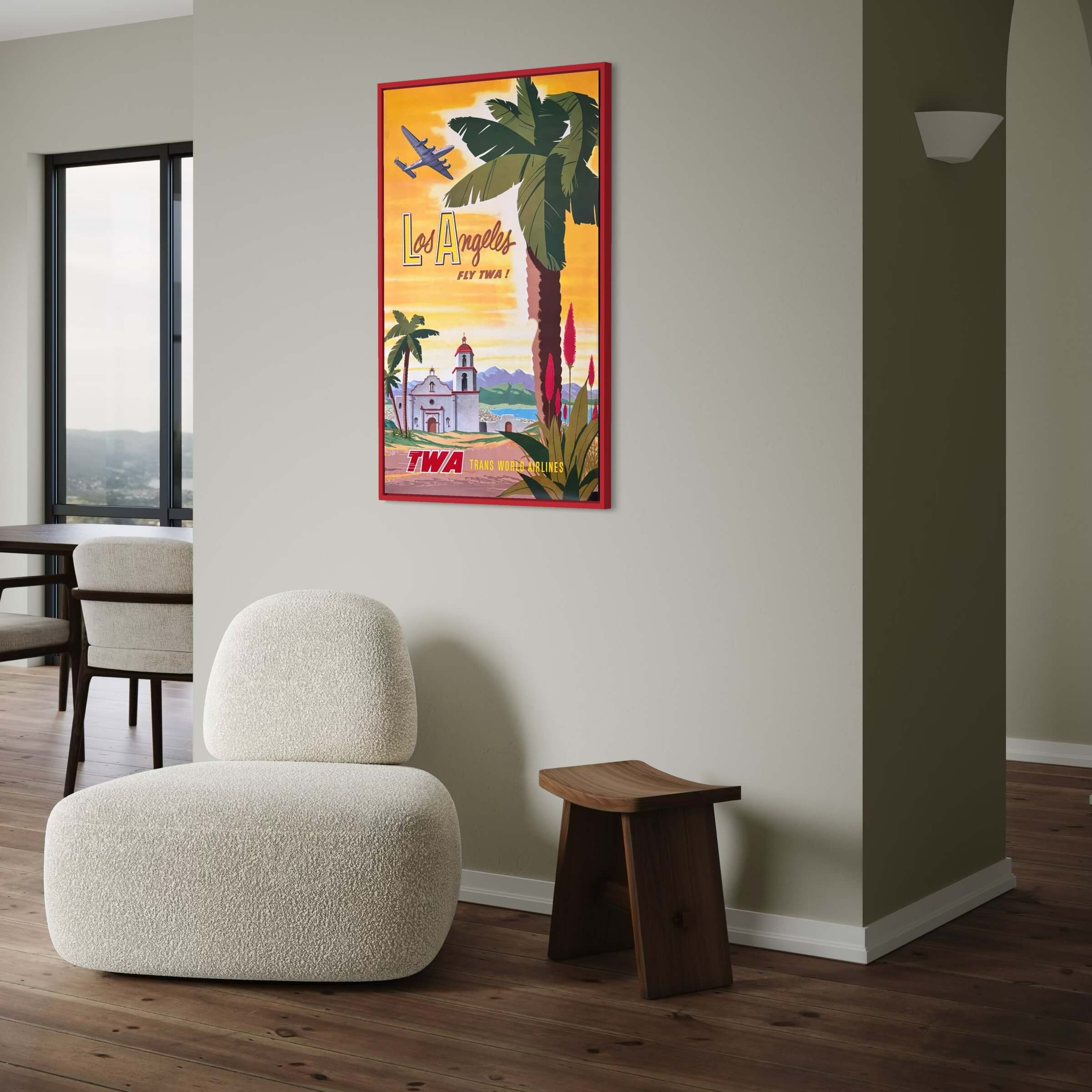
Los Angeles - TWA Flights
Sale price$4,461.00
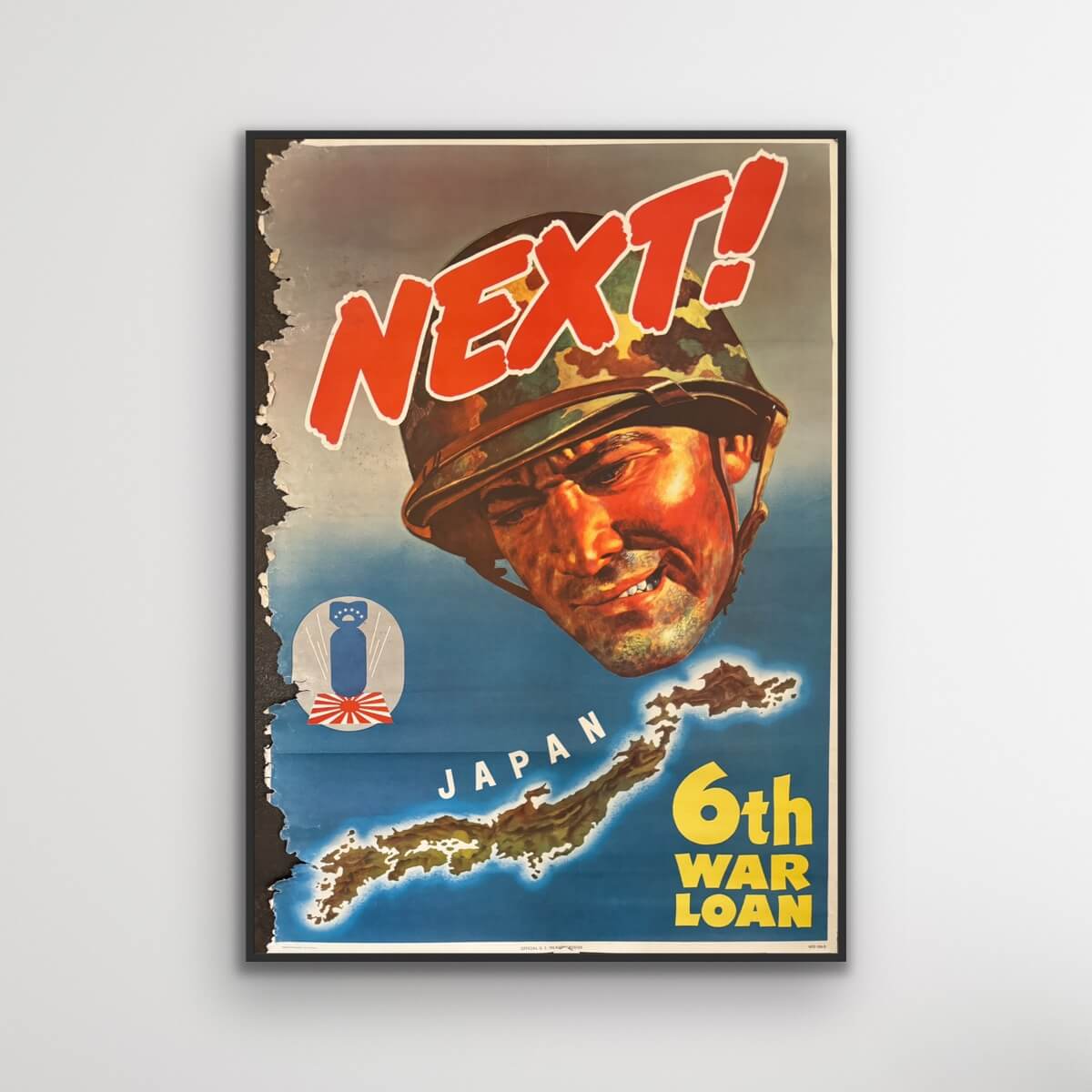
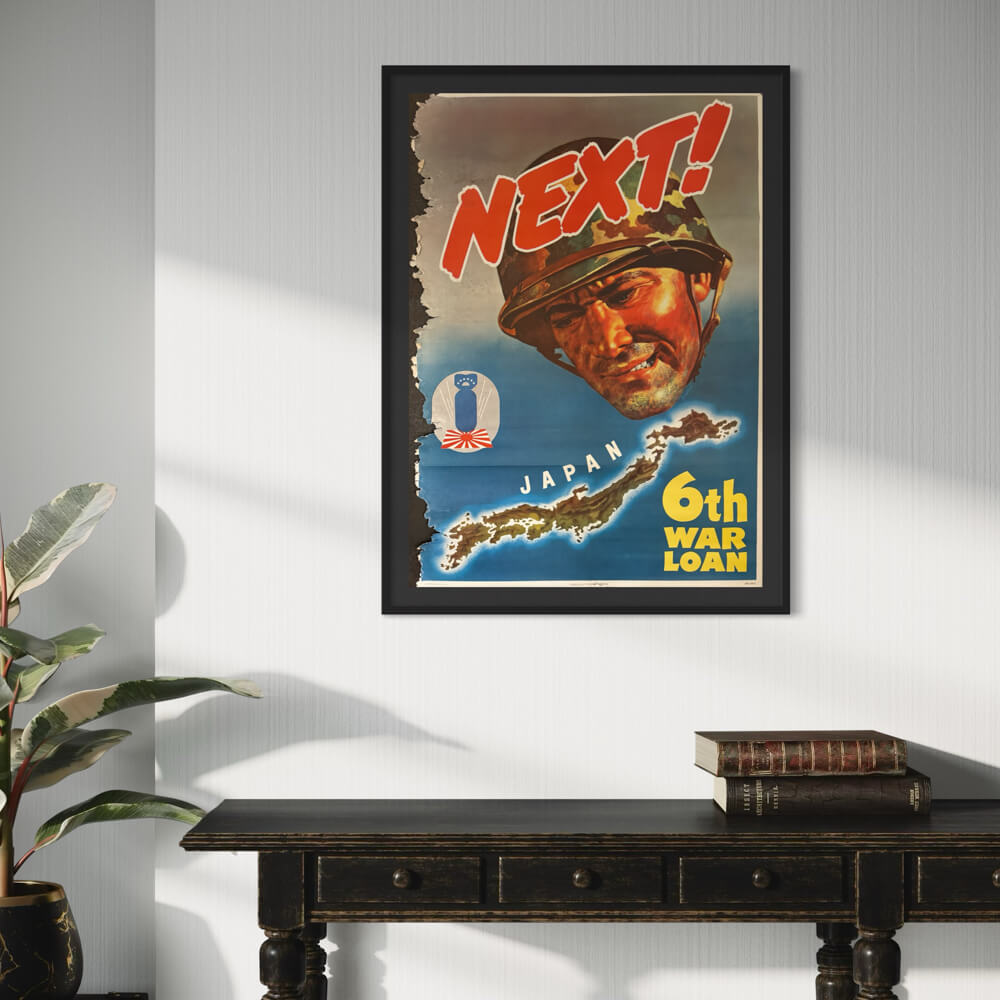
Next! Japan. 6th War Loan.
Sale price$370.00
Batumi USSR
Sale price$1,415.00