

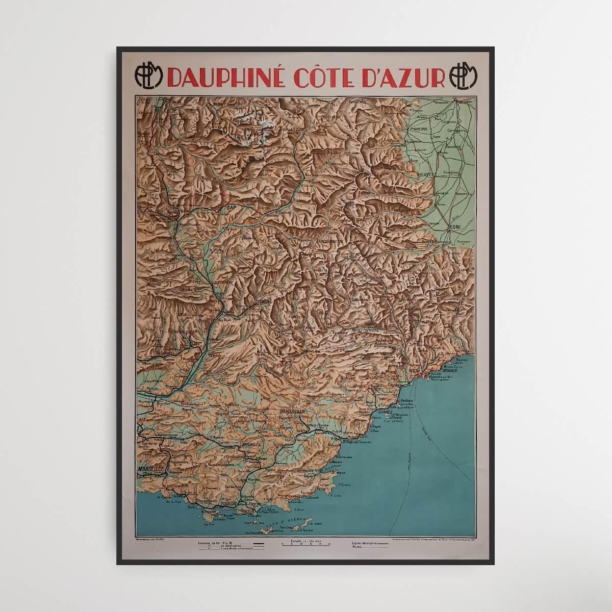
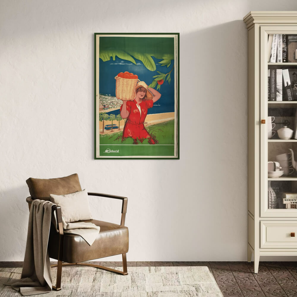
Dauphiné Côte d'Azur - French Riviera
| Designer: | Jean Dollfus |
| Decade: | 1920s |
| Year: | 1928 |
| Dimensions: | 78.5 x 108 cm |
| Lithographically printed by: | The Paris Cartographic Institute |
| Country: | France |
| Condition: | 9/10 |

✓ Original - not a reprint!
✓ Delivery in 2-4 working days
✓ 100 days right of return
This old map from the French Riviera is part of a series of maps of different areas of France. The French Riviera stretches from the border with Italy and to the delta of the Rhone River. The most famous cities on this map are Nice, Monaco, Cannes, Toulon and Marseille.
Condition: 9/10 - Patina and edge cracks.
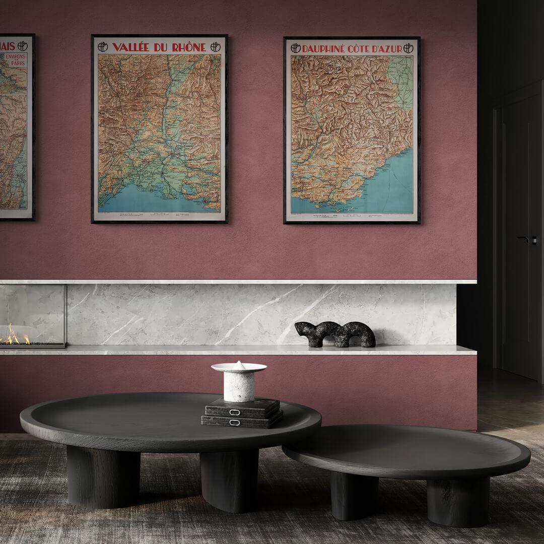
Frame is not included. See our large selection of exclusive frames, which can be precisely adapted to the map's large 78.5x108 cm format.
Condition: 9/10 - Patina and edge cracks.
Frame is not included. See our large selection of exclusive frames, which can be precisely adapted to the map's large 78.5x108 cm format.
0
Dauphiné Côte d'Azur - French Riviera
Sale price$640.00
Regular price
Choose options
Dauphiné Côte d'Azur - French Riviera
Sale price$640.00
Regular price
Should the poster be framed?
Custom-size frames
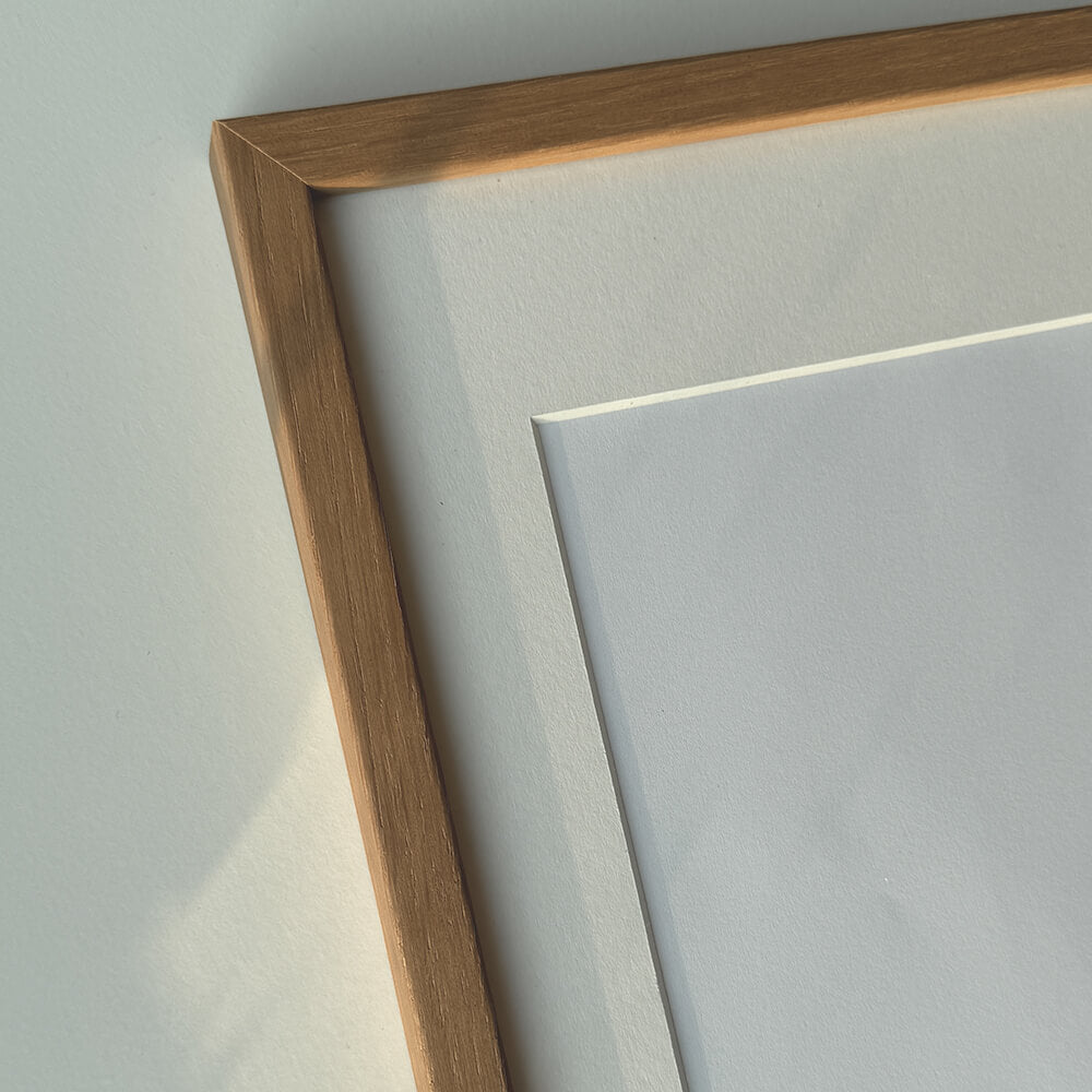
Custom size oak frame - Wide (20 mm)
Sale price$16.00
From
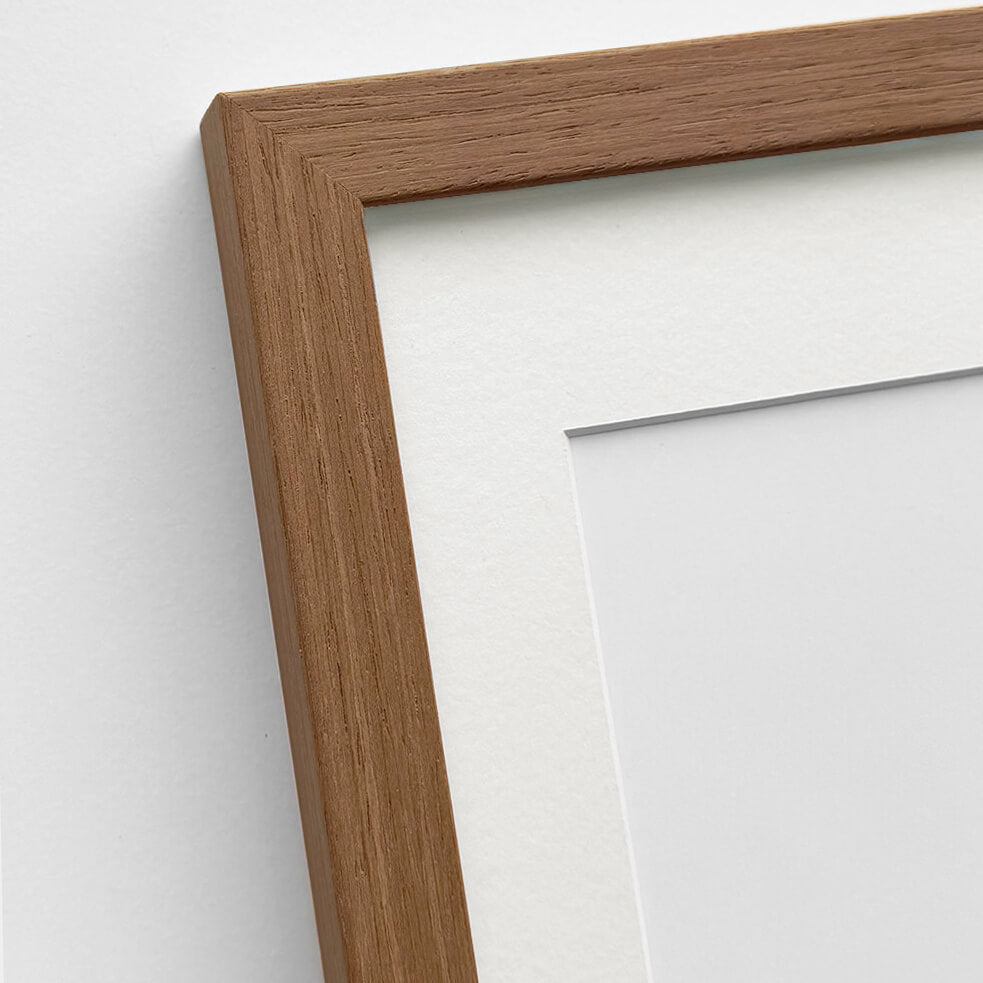
Solid oak frame - Custom size - Narrow (12 mm)
Sale price$16.00
From

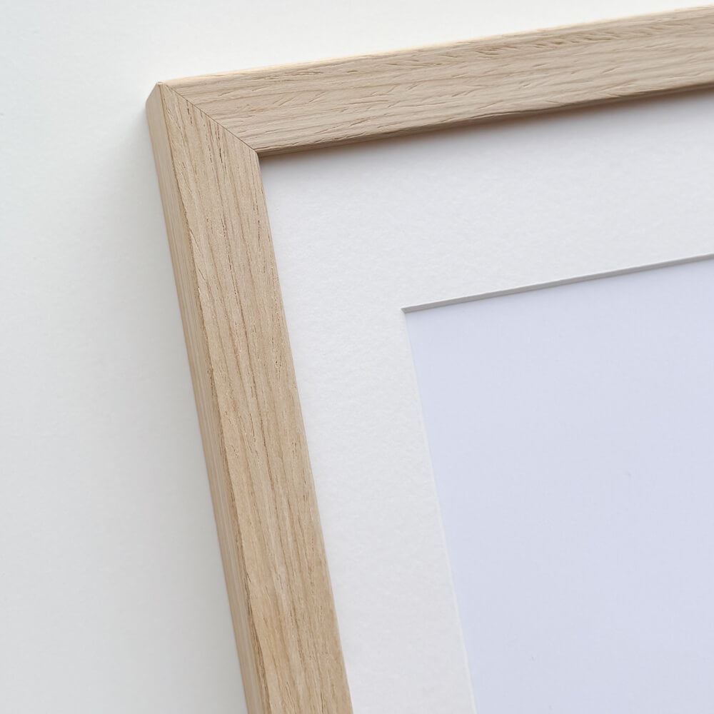
Picture frame in light wood - Wide (20 mm) - Custom Size
Sale price$16.00
From
Light oak frame - Narrow (15 mm) - Custom Size
Sale price$15.00
From
Dark oak frame - Wide (20 mm) - Custom size
Sale price$16.00
From
Wallnut wooden frame - Narrow (15 mm) - Custom size
Sale price$15.00
From

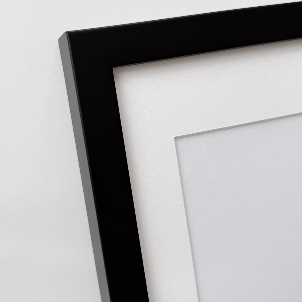
Black wooden frame - Wide (20 mm) - Custom Size
Sale price$16.00
From


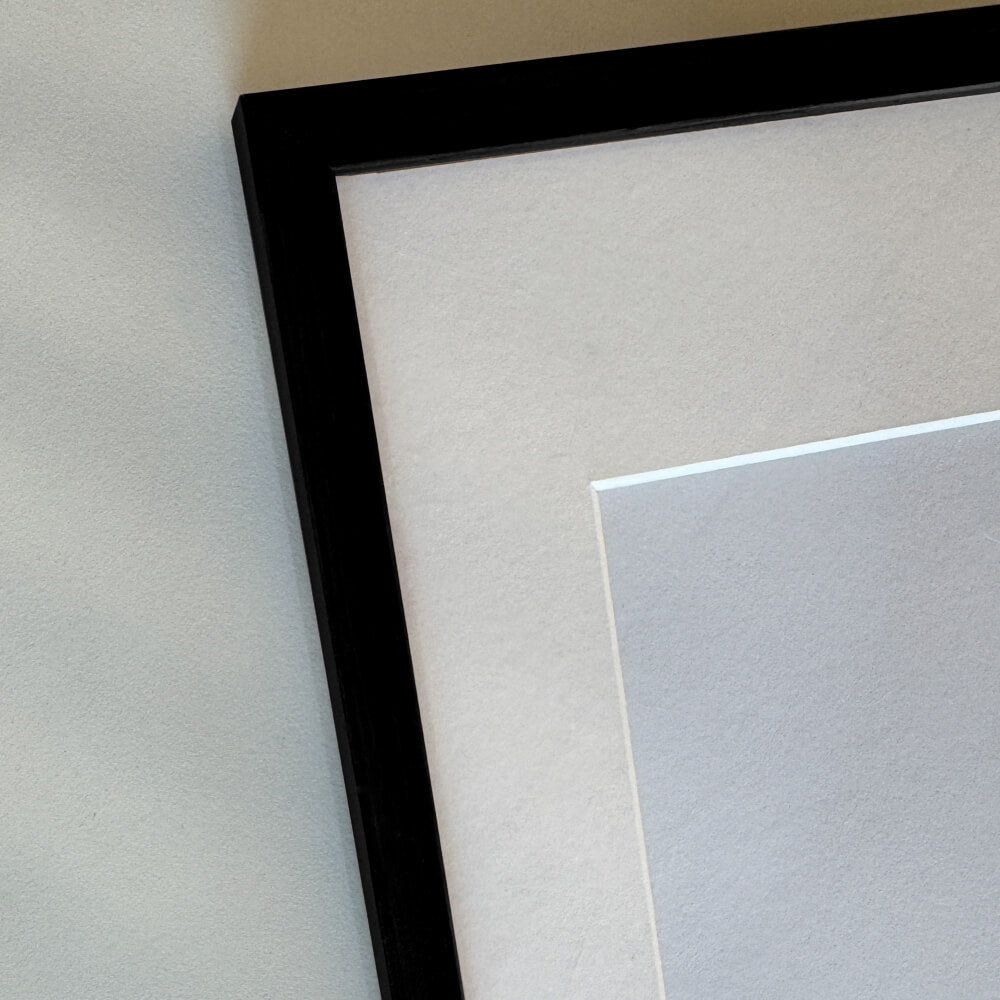
Black wooden frame - Narrow (15 mm) - Custom Size
Sale price$15.00
From

Black wooden frame - Narrow (10 mm) - Custom size
Sale price$15.00
From

Black premium aluminum frame - Narrow (6 mm) - Custom Size
Sale price$16.00
From

Dark gold wooden frame - Wide (20 mm) - Custom size
Sale price$16.00
From

Dark gold wooden frame - Narrow (15 mm) - Custom size
Sale price$15.00
From

Golden premium aluminum frame - Narrow (6 mm) - Custom size
Sale price$16.00
From


Vintage gold frame - Narrow (15 mm) - Custom Size
Sale price$17.00
From


Vintage silver frame - Narrow (15 mm) - Custom size
Sale price$17.00
From

Silver wooden frame - Wide (20mm) - Custom size
Sale price$16.00
From
Recently added
Vintage lithographs
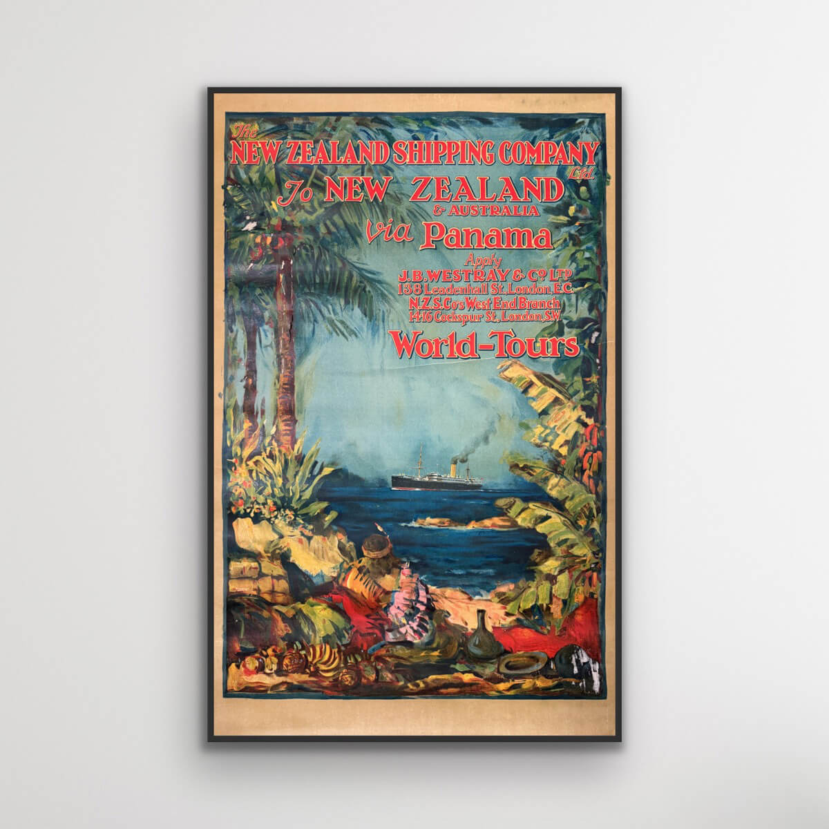
To New Zealand & Australia via Panama
Sale price$3,076.00


Cairo - Misr Airlines
Sale price$4,153.00
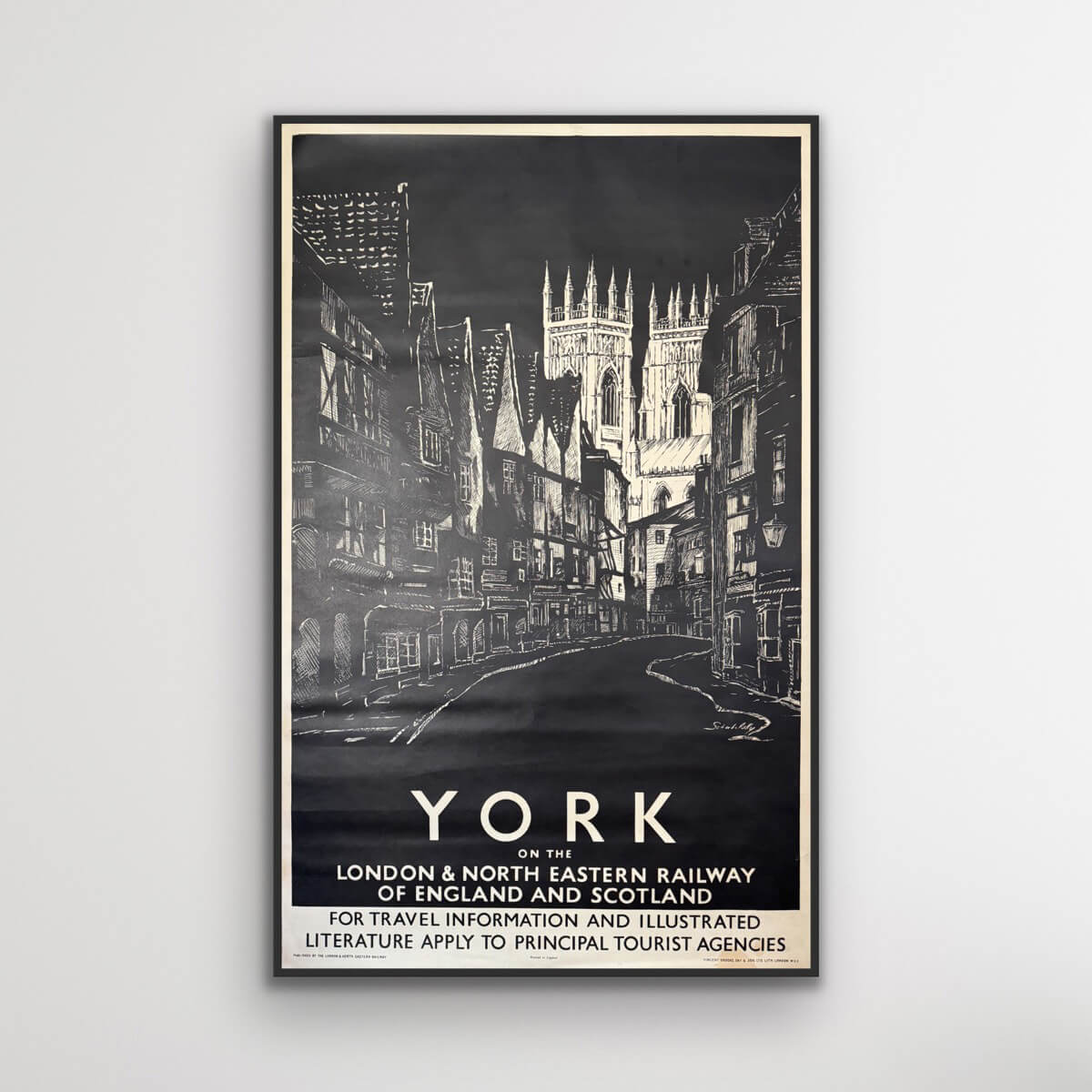
York on the LNER
Sale price$846.00
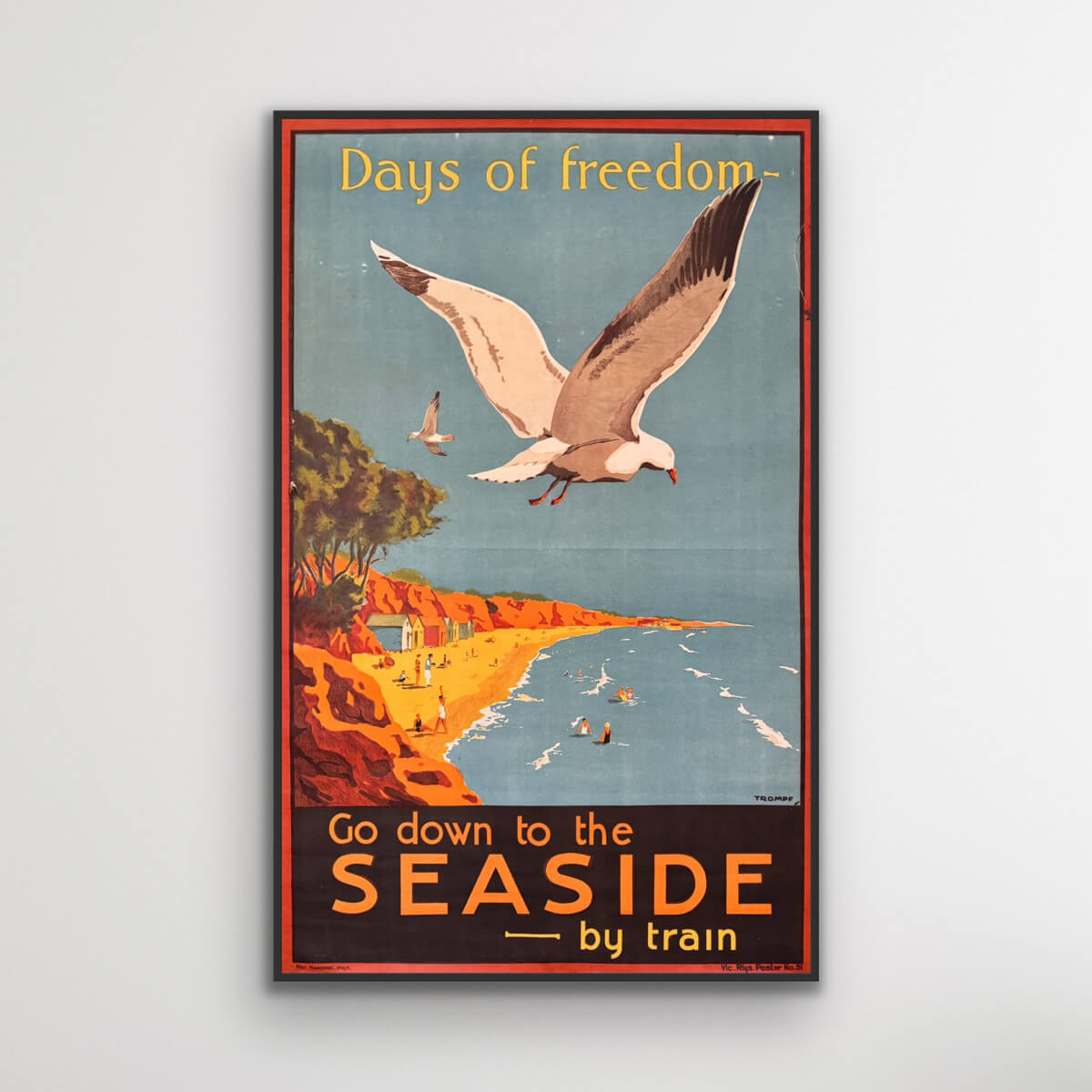
Days of Freedom - Go down to the seaside
Sale price$3,999.00
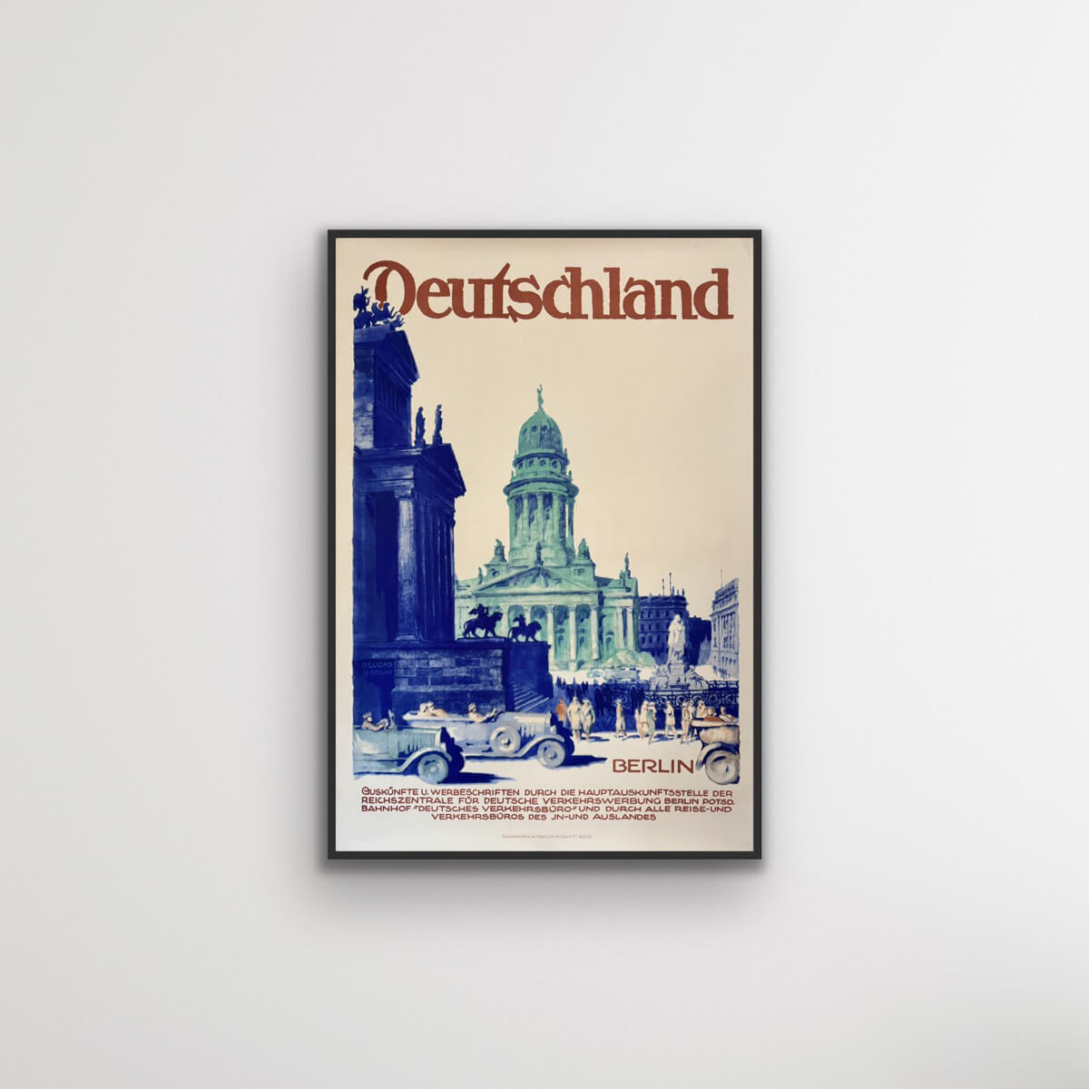

Berlin, Germany
Sale price$1,385.00
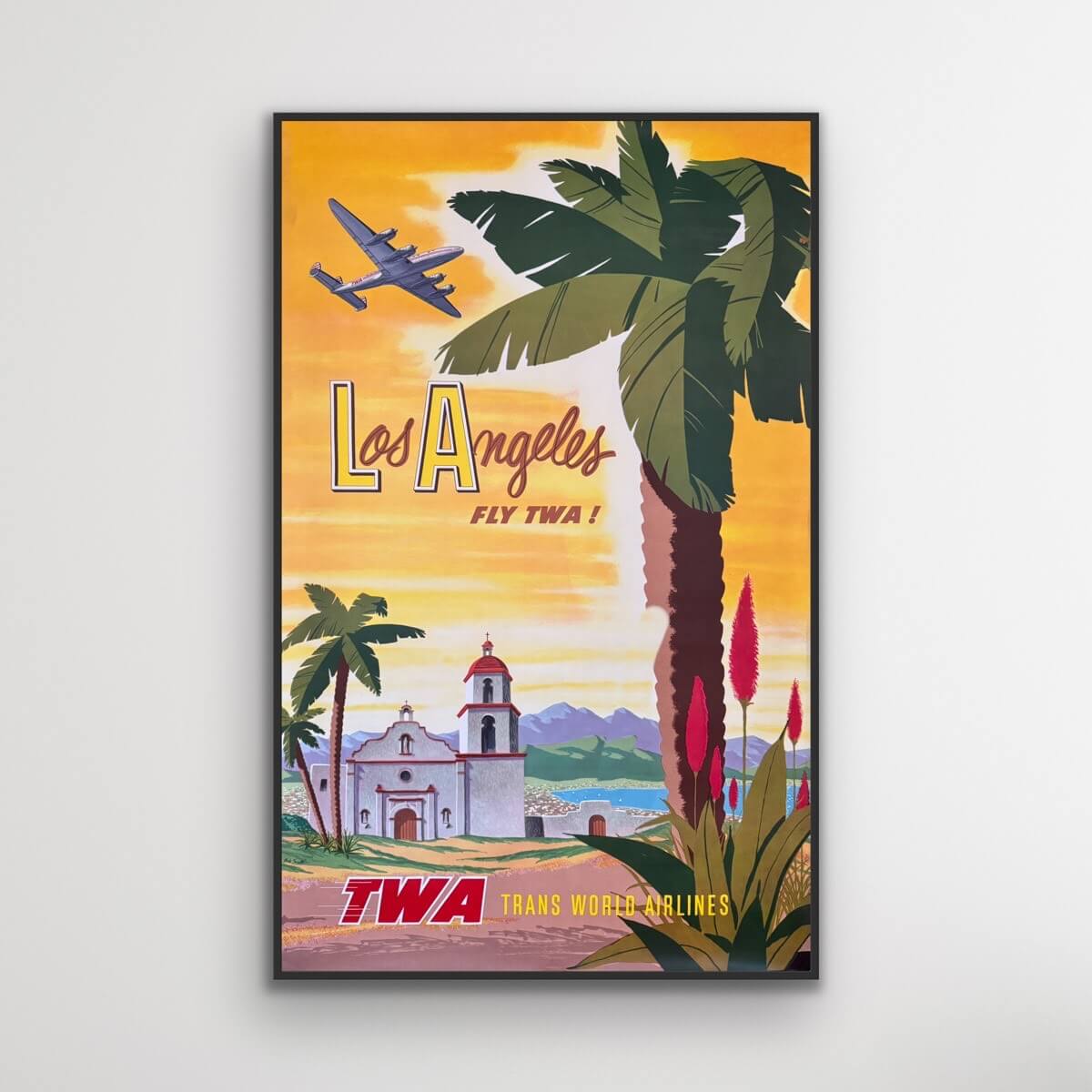
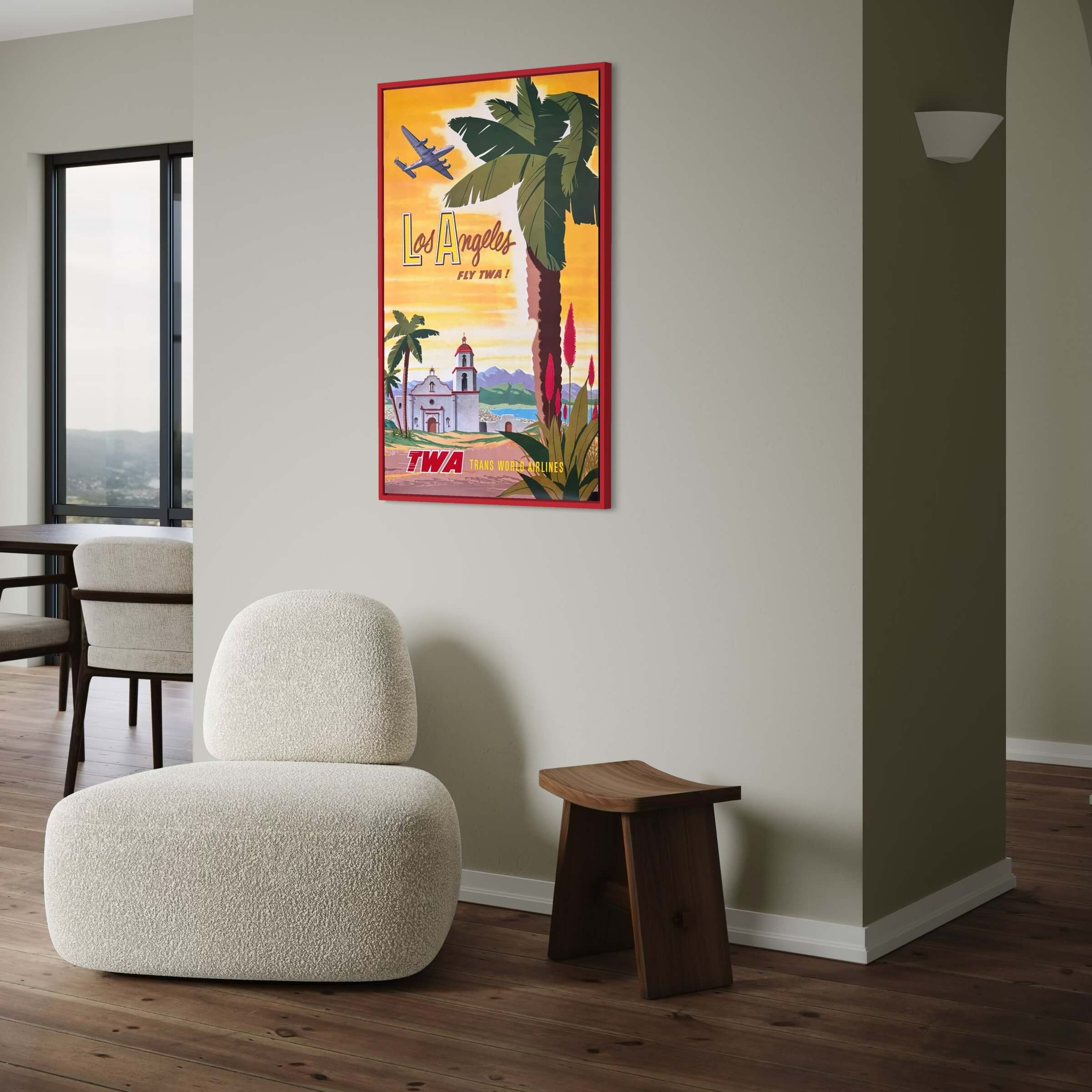
Los Angeles - TWA Flights
Sale price$4,461.00
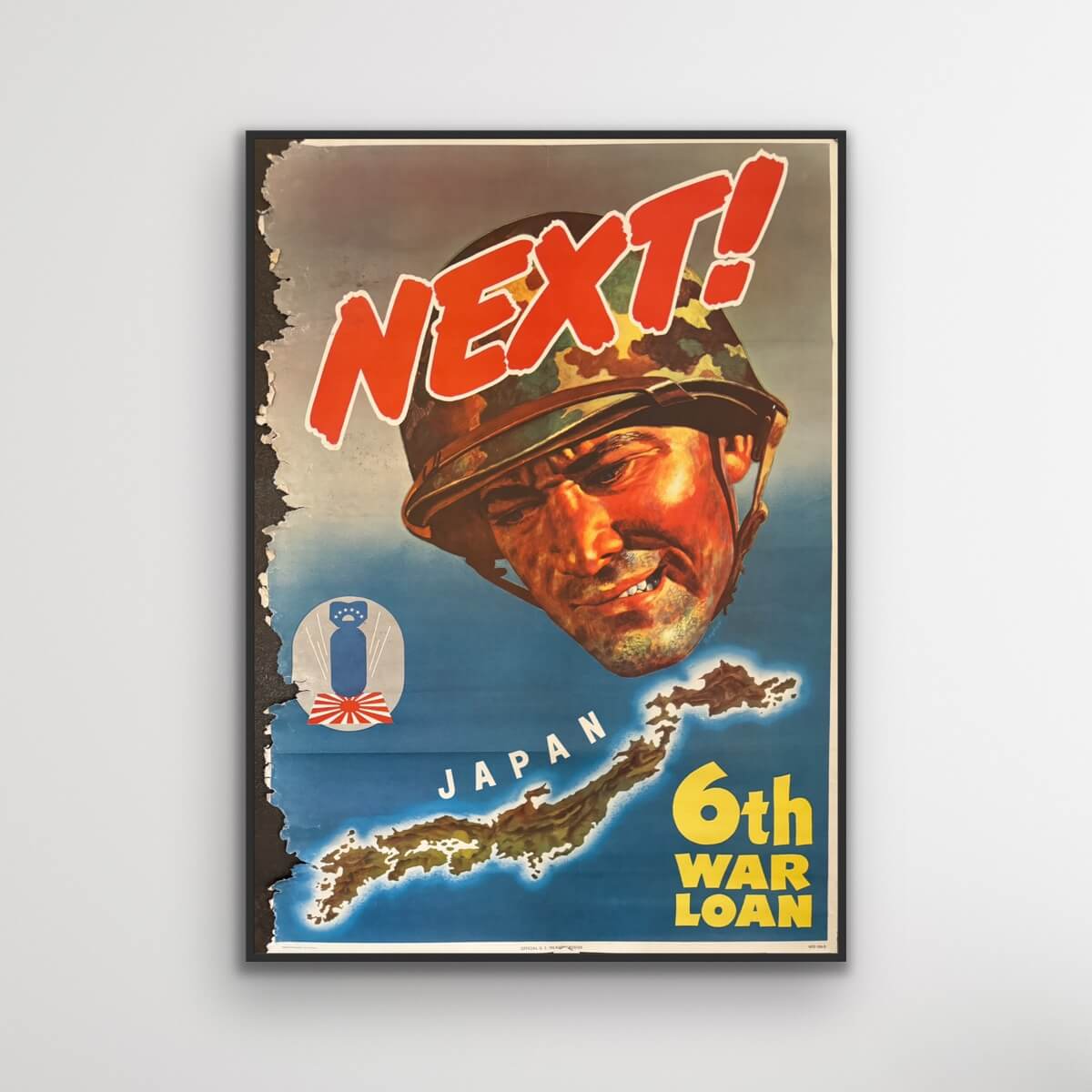
Next! Japan. 6th War Loan.
Sale price$370.00
Batumi USSR
Sale price$1,415.00