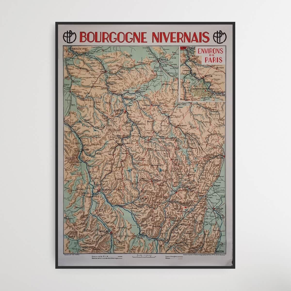
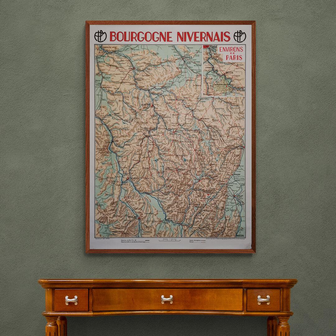
Burgundy Nivernais - French map
| Designer: | Jean Dollfus |
| Decade: | 1920s |
| Year: | Unknown |
| Dimensions: | 78 x 108 cm |
| Lithographically printed by: | The Paris Cartographic Institute |
| Country: | France |
| Condition: | 9/10 |

✓ Original - not a reprint!
✓ Delivery in 2-4 working days
✓ 100 days right of return
This old French map of Burgundy, which was a French region until 2016, when it was merged with Franche-Comté to form the new region of Burgundy-Franche-Comté. The area is located in central France. The most famous cities on this map are Auxerre, Troyes, Dijon, Moulins and Nevers.
The map is part of a larger collection of French maps, designed by Jean Dollfus. Oddly enough, this map is the only one without a year, but we're pretty sure it's from the 1920s - possibly the early 1930s.
Condition: 9/10 - The map has patina, but is almost in perfect condition.
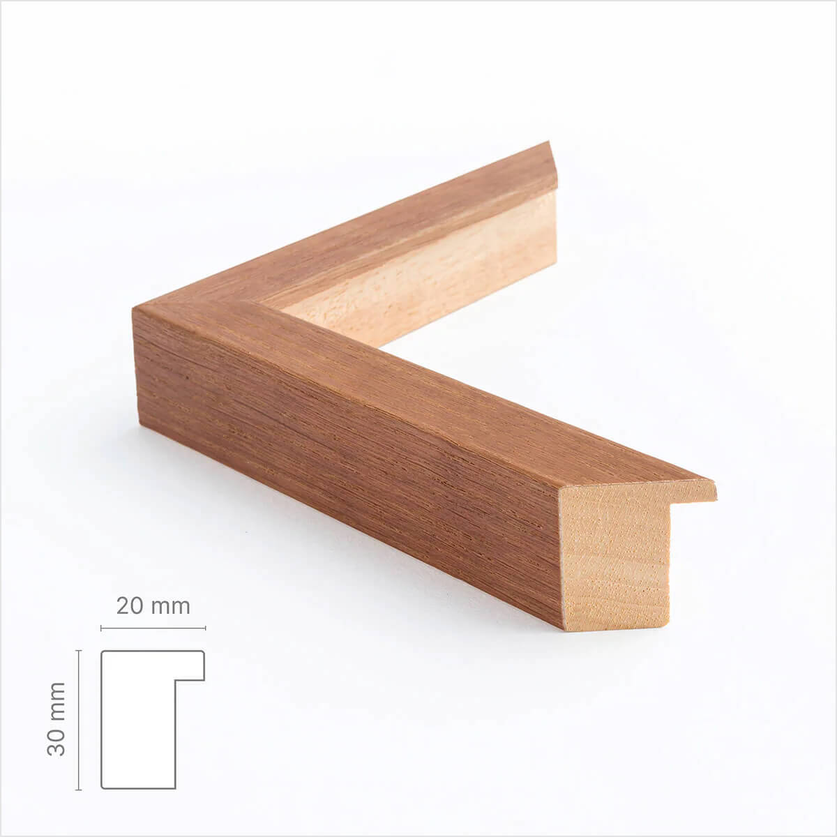
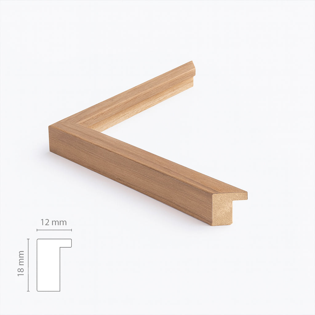
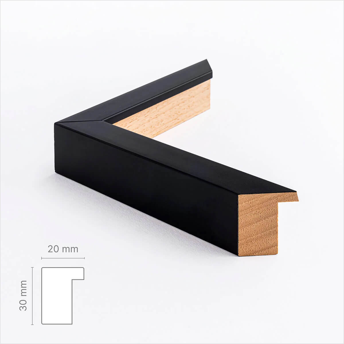
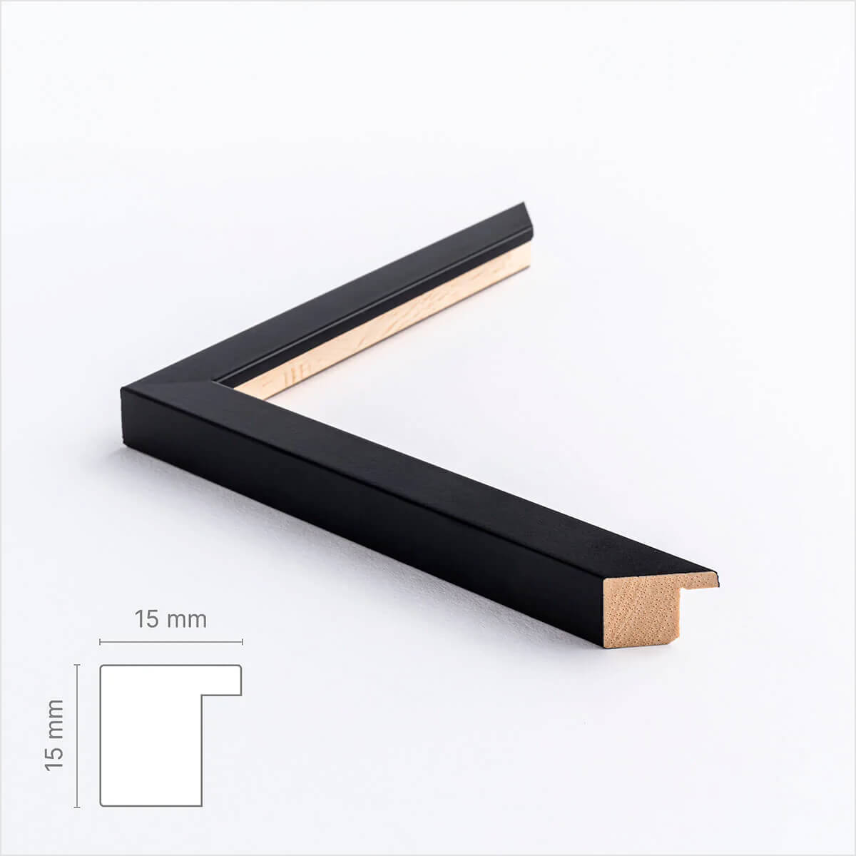
Frame is not included. See our large selection of exclusive frames, which can be precisely adapted to the map's large 78x108 cm format.
0
Choose options


Burgundy Nivernais - French map
Sale price$613.00
Should the poster be framed?
Custom-size frames
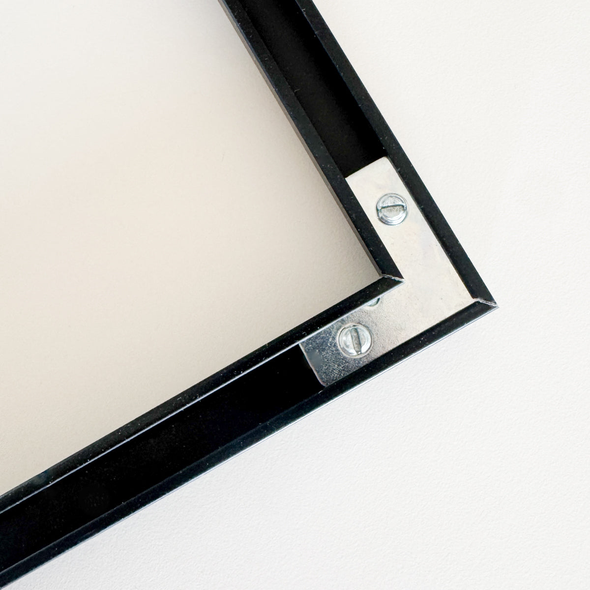
Framebox - Custom size
Sale price$39.00
From
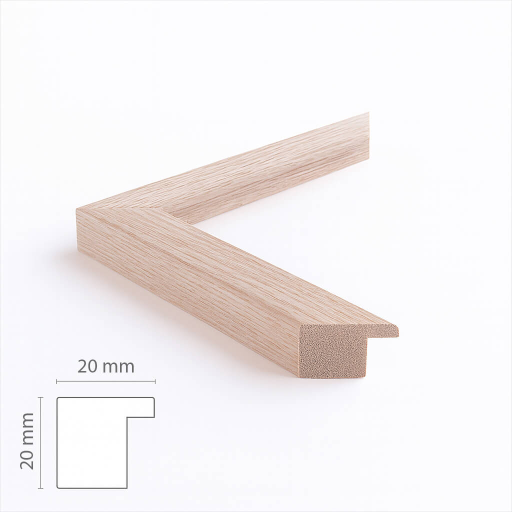
Custom size oak frame - Wide (20 mm)
Sale price$17.00
From
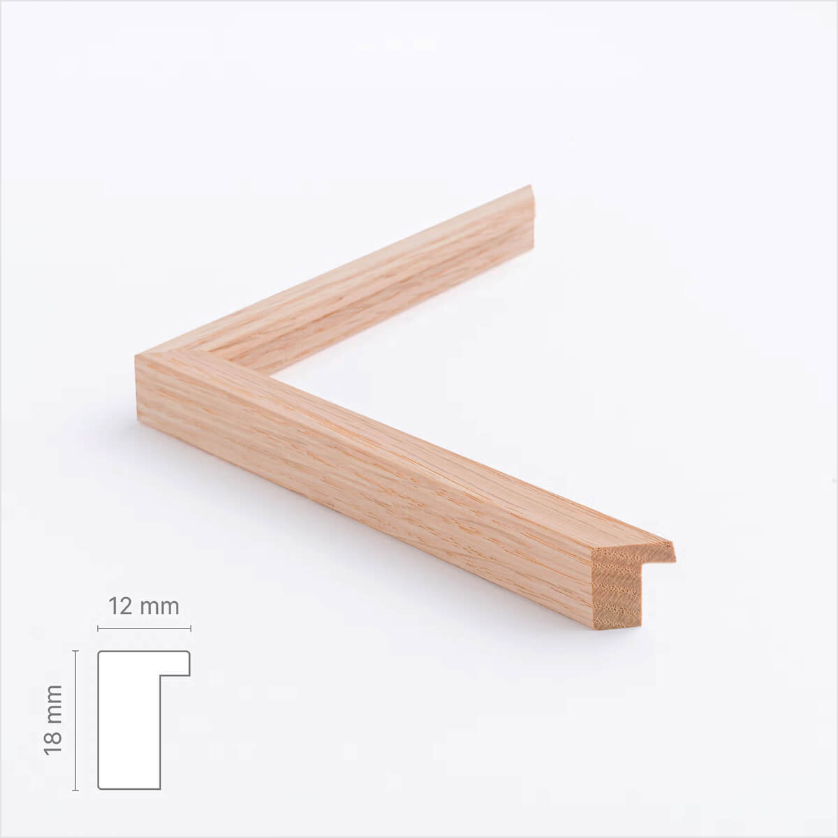
Solid oak frame - Custom size - Narrow (12 mm)
Sale price$17.00
From
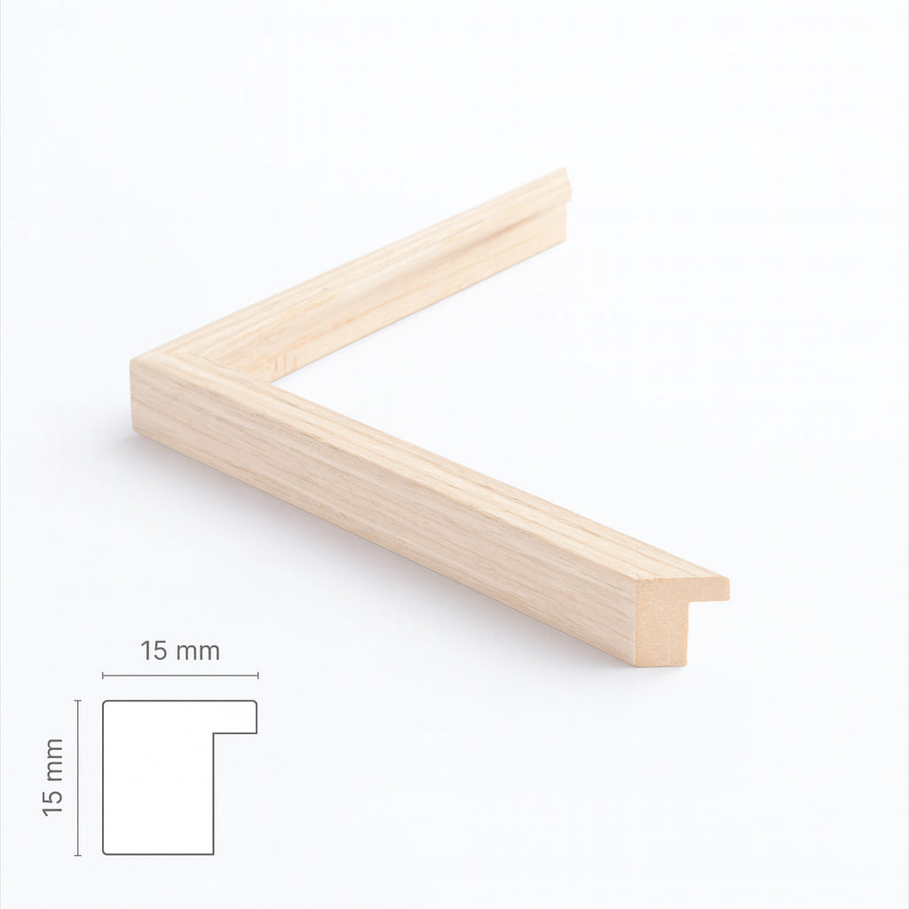
Light oak frame - Narrow (15 mm) - Custom Size
Sale price$17.00
From
Dark oak frame - Wide (20 mm) - Custom size
Sale price$17.00
From
Dark oak wooden frame - Narrow (15 mm) - Custom size
Sale price$16.00
From
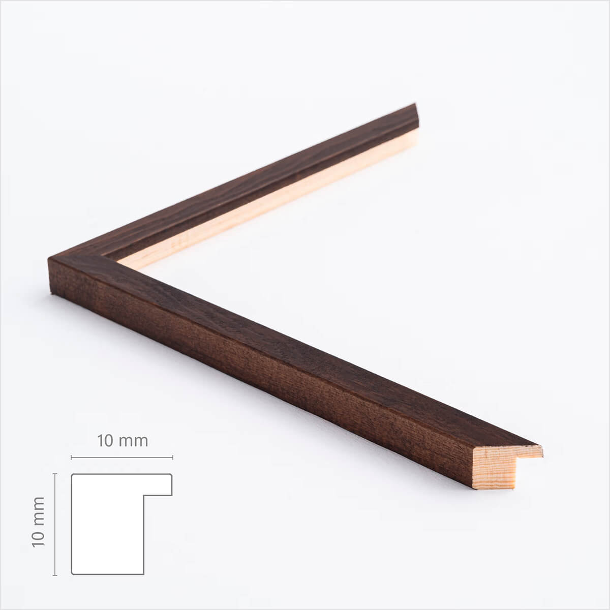
Dark wooden frame – Narrow (10 mm) – Custom size
Sale price$17.00
From
Brown matte wooden frame - Narrow (15 mm) - Custom size
Sale price$16.00
From
Black wooden frame - Wide (20 mm) - Custom Size
Sale price$16.00
From
Black wooden frame - Narrow (15 mm) - Custom Size
Sale price$16.00
From
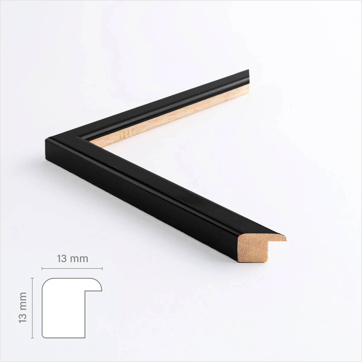
Black glossy wooden frame - Narrow (13 mm) - Custom size
Sale price$16.00
From
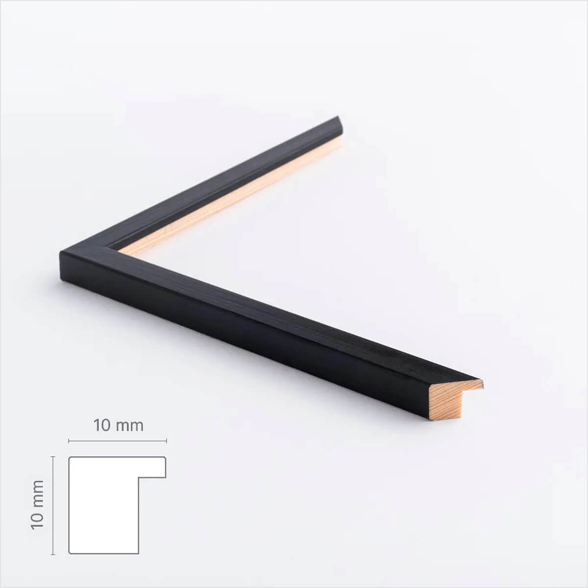
Black wooden frame - Narrow (10 mm) - Custom size
Sale price$16.00
From
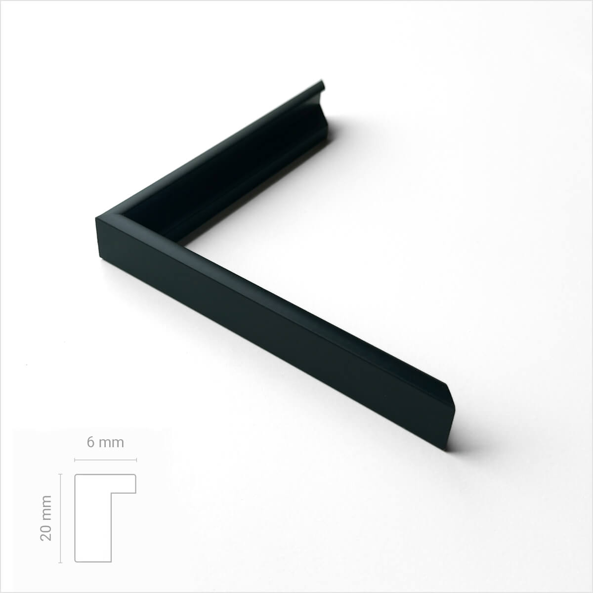
Black premium aluminum frame - Narrow (6 mm) - Custom Size
Sale price$17.00
From
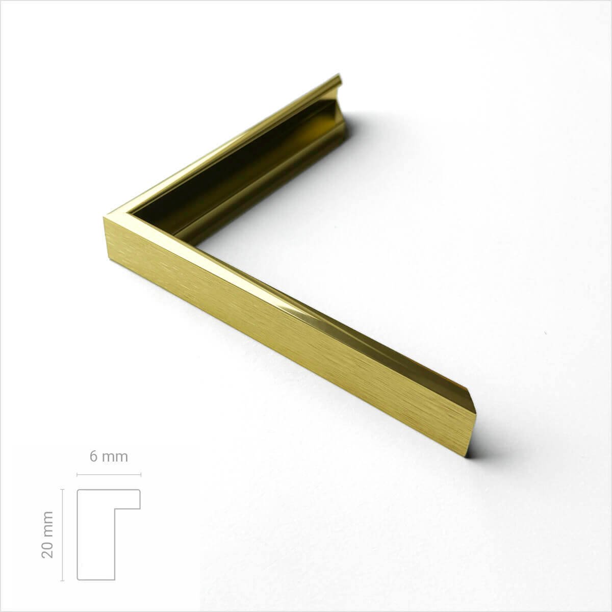
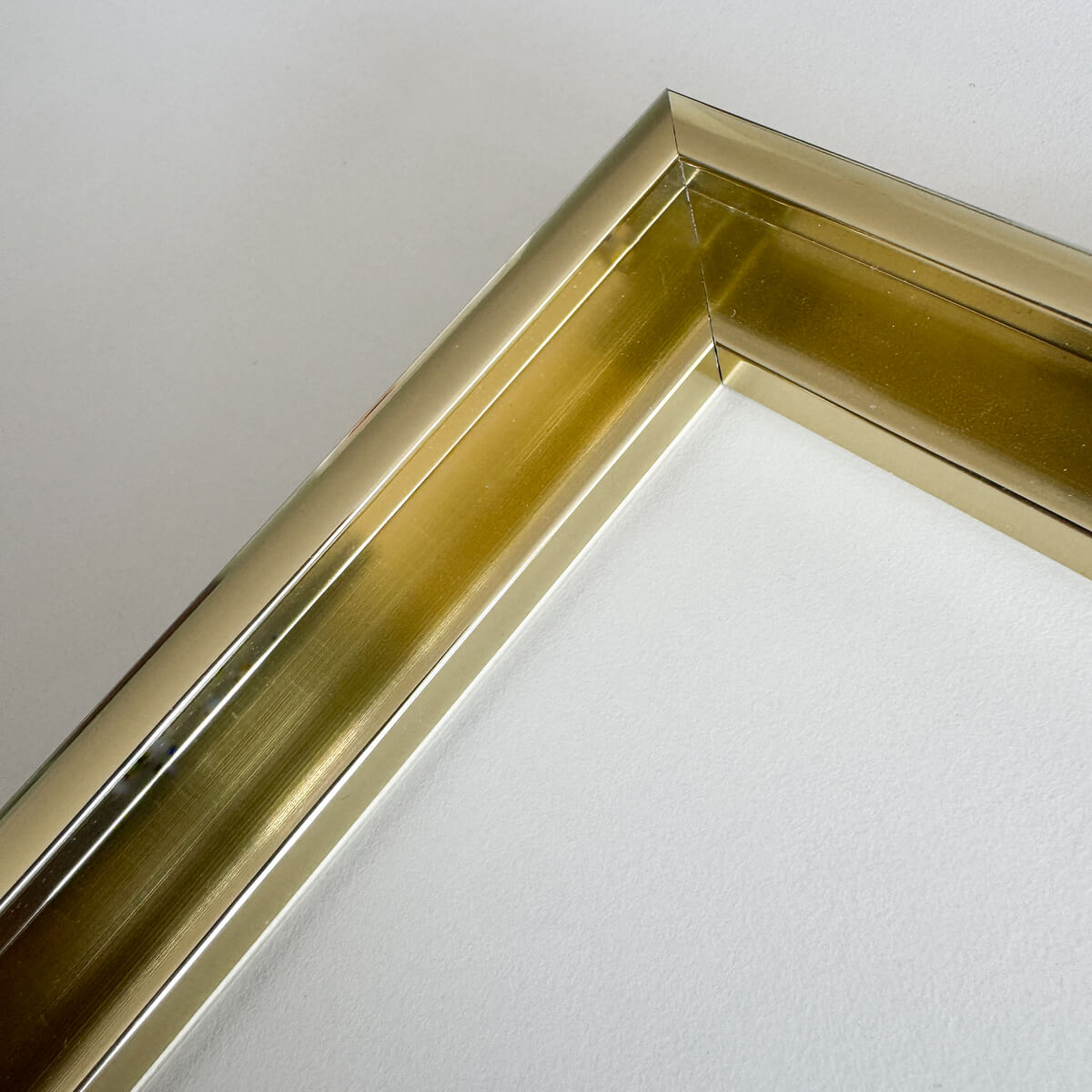
Golden premium aluminum frame - Narrow (6 mm) - Custom size
Sale price$17.00
From
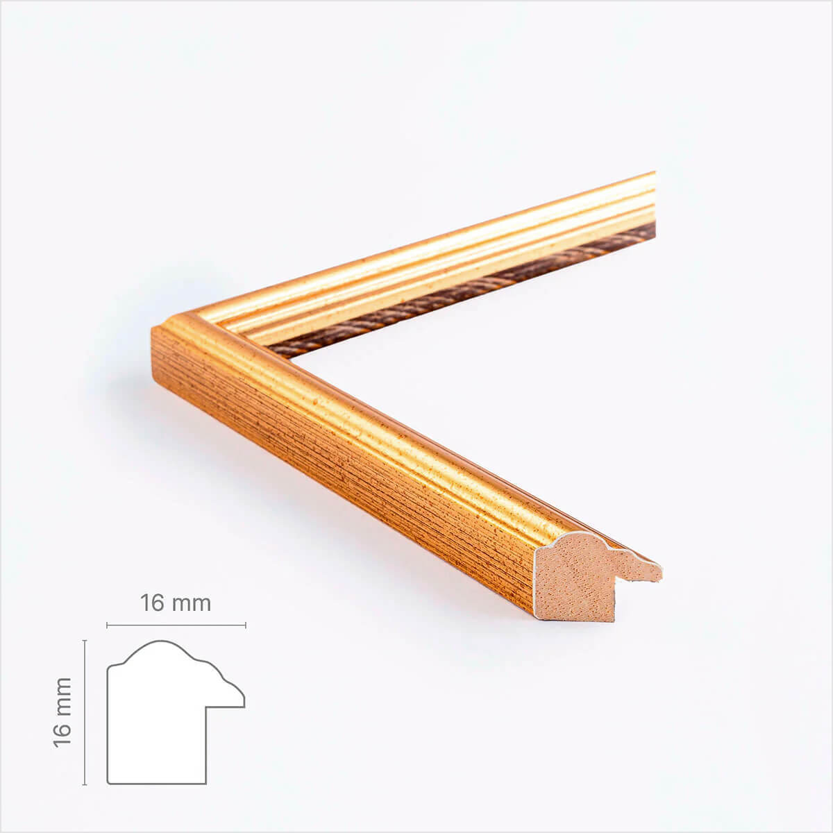
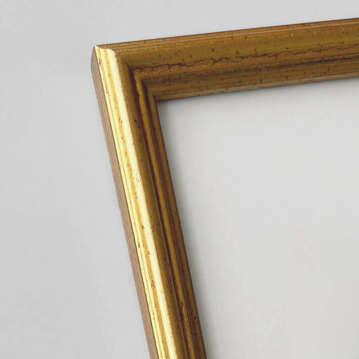
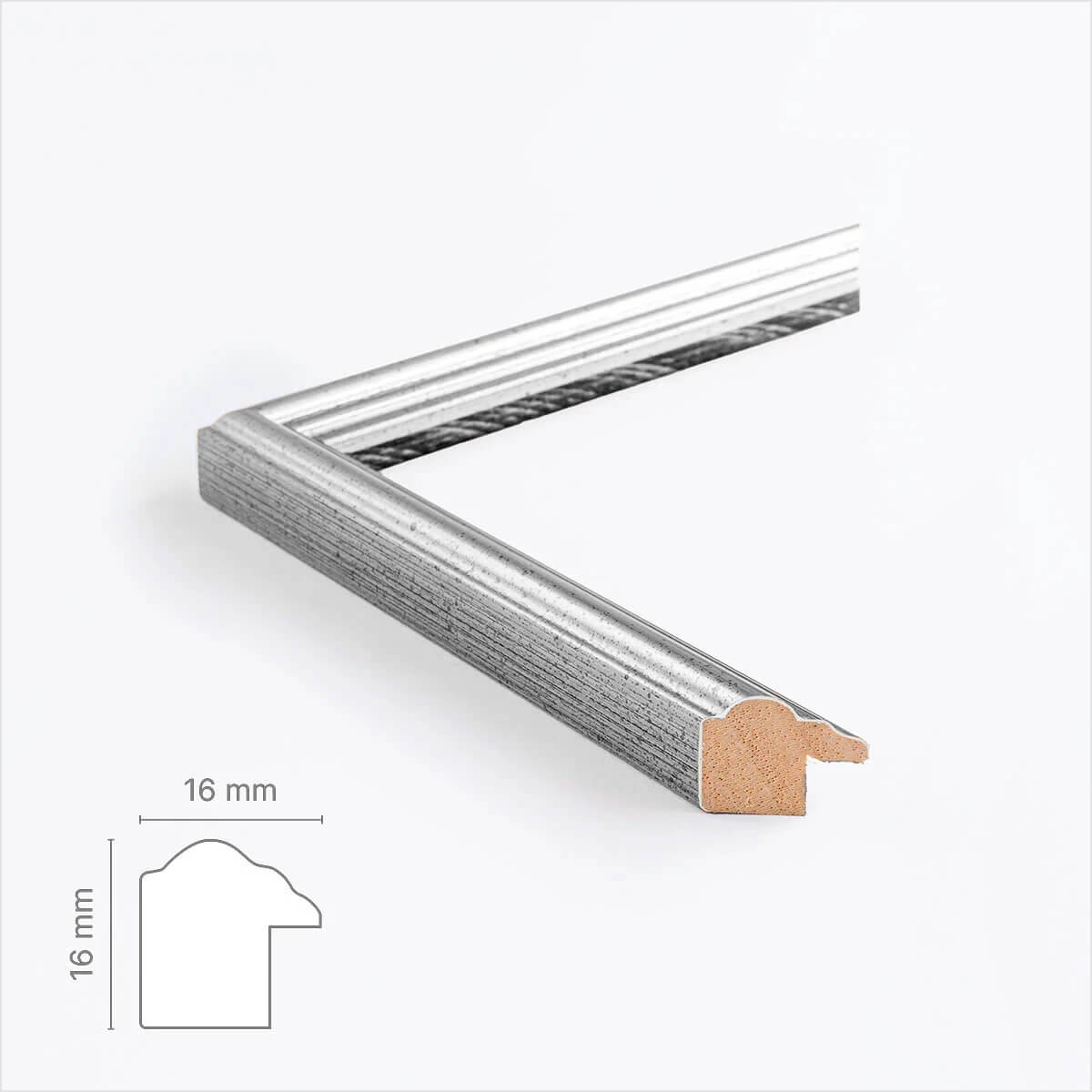
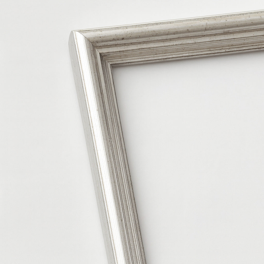
Vintage gold frame - Narrow (16 mm) - Custom Size
Sale price$18.00
From
Vintage silver frame - Narrow (16 mm) - Custom size
Sale price$18.00
From
Recently added
Vintage lithographs
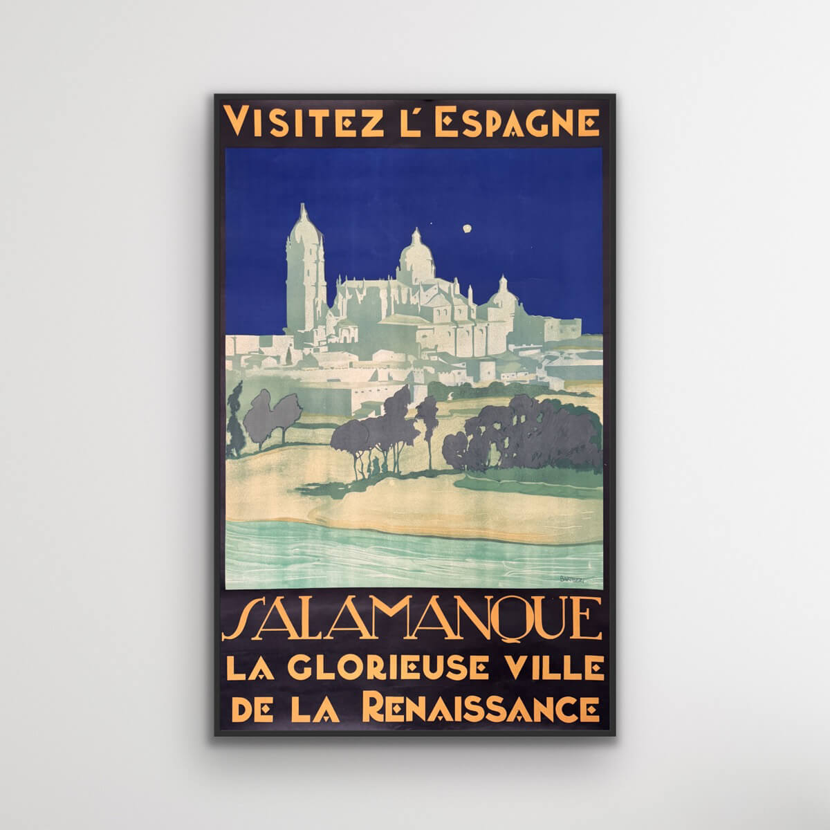
Salamanca - Visit Spain
Sale price$1,611.00
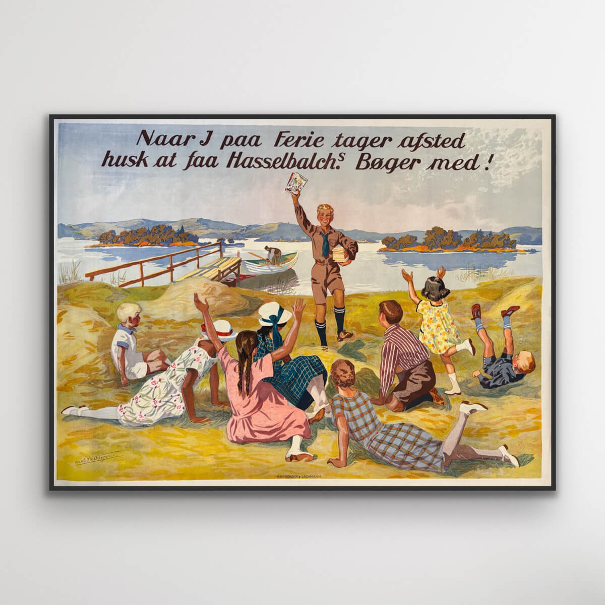
Hasselbach's books
Sale price$1,531.00
The Zugspitze - Germany
Sale price$613.00
Das Osaka-Schloss - Japan
Sale price$1,176.00
Visit Malaya
Sale price$4,027.00
Hourly service - Safe and Fast
Sale price$725.00
Savoy
Sale price$774.00
Monte Rosa - Journey into the Mediterranean
Sale price$3,061.00


