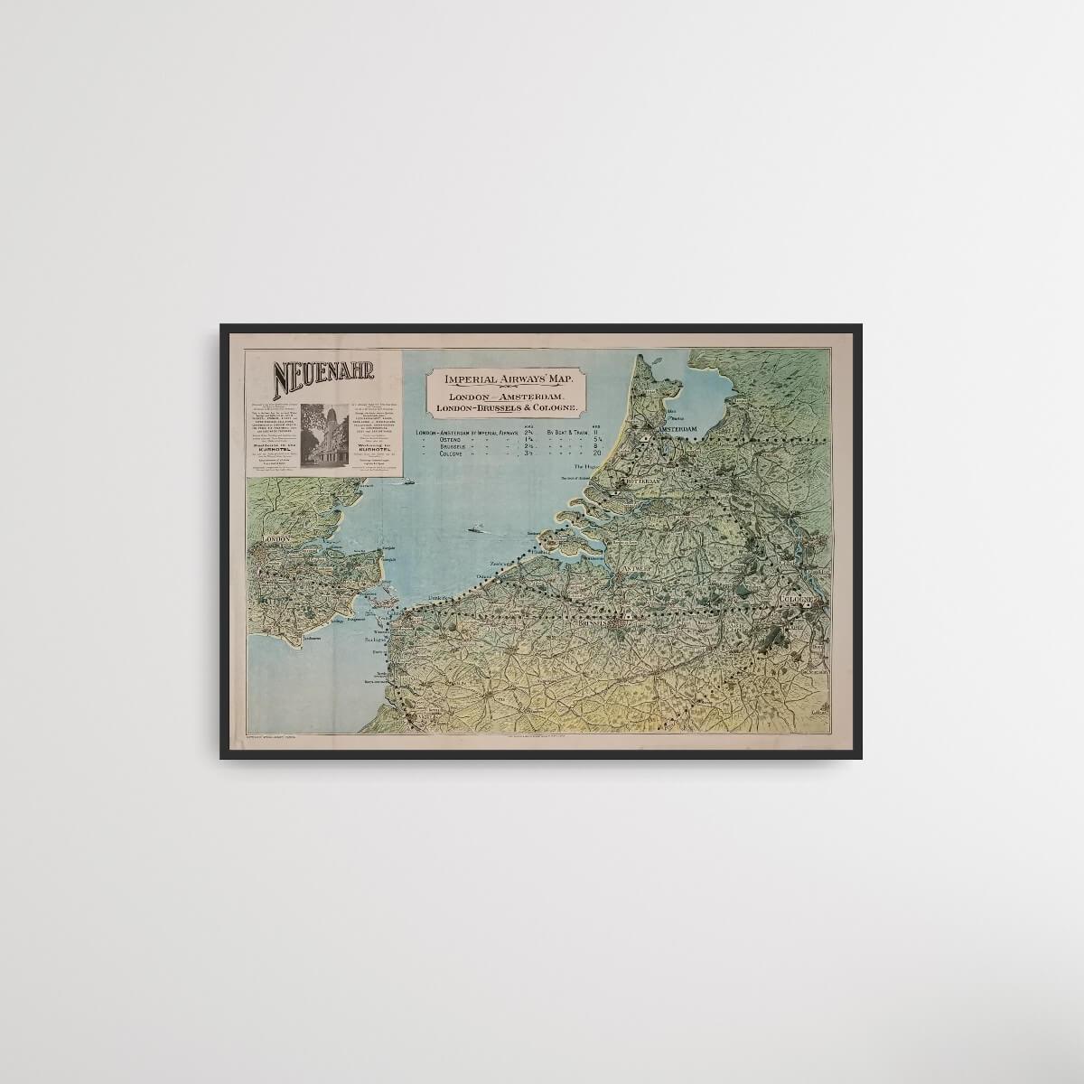
Imperial Airways Map - Neuenahr
| Decade: | 1920s |
| Year: | Unknown |
| Dimensions: | 76.5 x 61 cm |
| Printed by: | Cook, Hammond & Kell Ltd. |
| Published by: | Imperial Airways |
| Country: | England |
| Condition: | 8/10 |

✓ Original - not a reprint!
✓ Delivery in 2-4 working days
✓ 100 days right of return
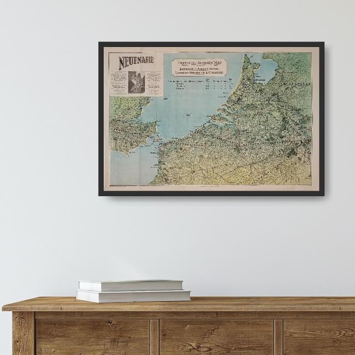
Old English card from Imperial Airways. The map covers a limited area with the south east of England and London, as well as some of France, Belgium, the Netherlands and Germany. The map promotes the German spa town of Neuenahr, as well as the routes London-Paris, London-Amsterdam and others.
Stand: Folds, patina and a little moisture damage. 8/10.
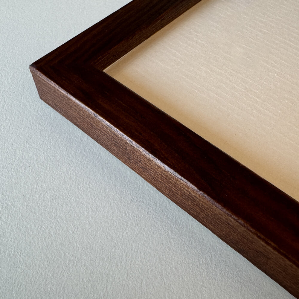
Frame is not included in the price. See our wide range of exclusive frames that can be customised to fit your card.
Stand: Folds, patina and a little moisture damage. 8/10.
Frame is not included in the price. See our wide range of exclusive frames that can be customised to fit your card.
0
Choose options


Imperial Airways Map - Neuenahr
Sale price$142.00
Should the poster be framed?
Custom-size frames
Framebox - Custom size
Sale price$39.00
From
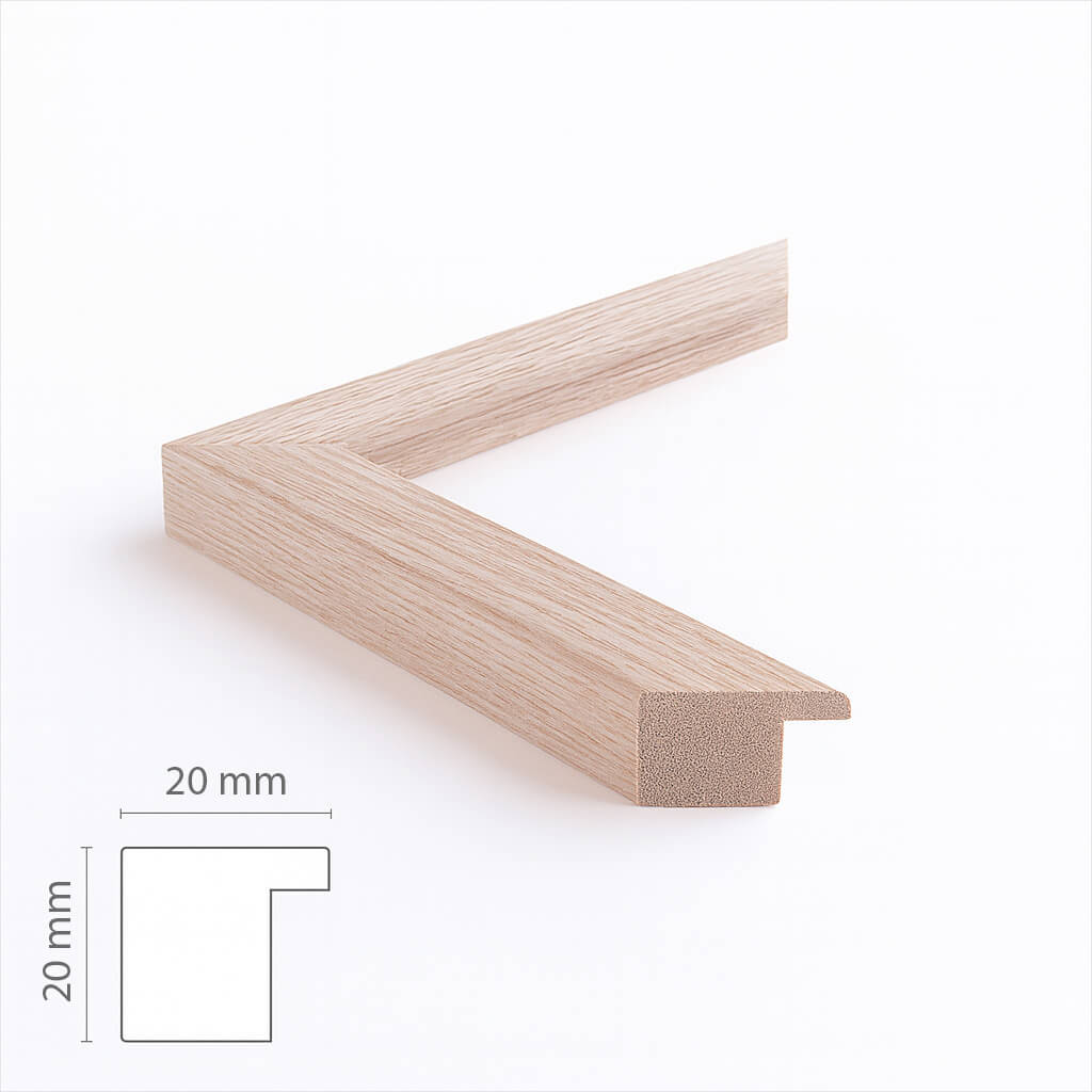
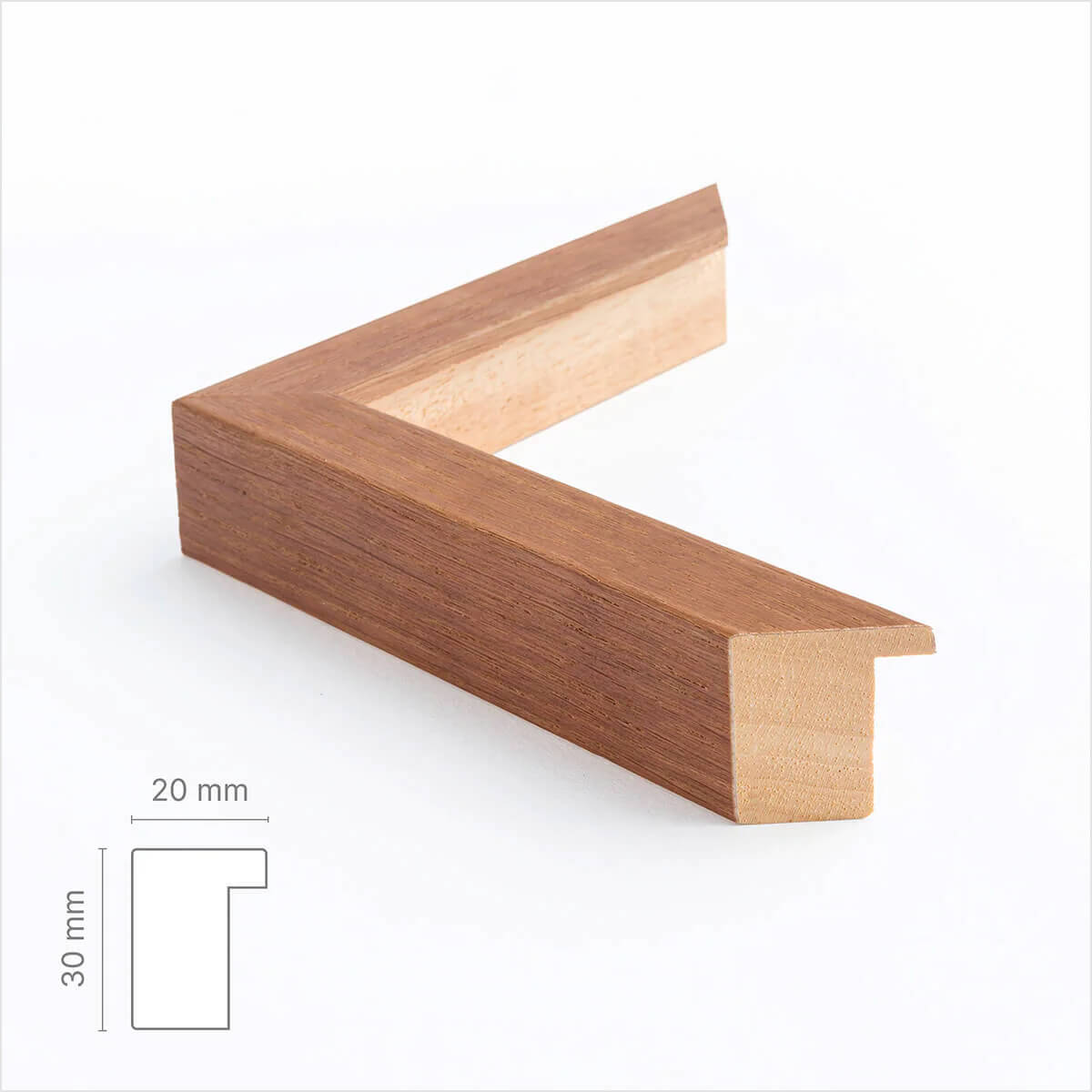
Custom size oak frame - Wide (20 mm)
Sale price$17.00
From
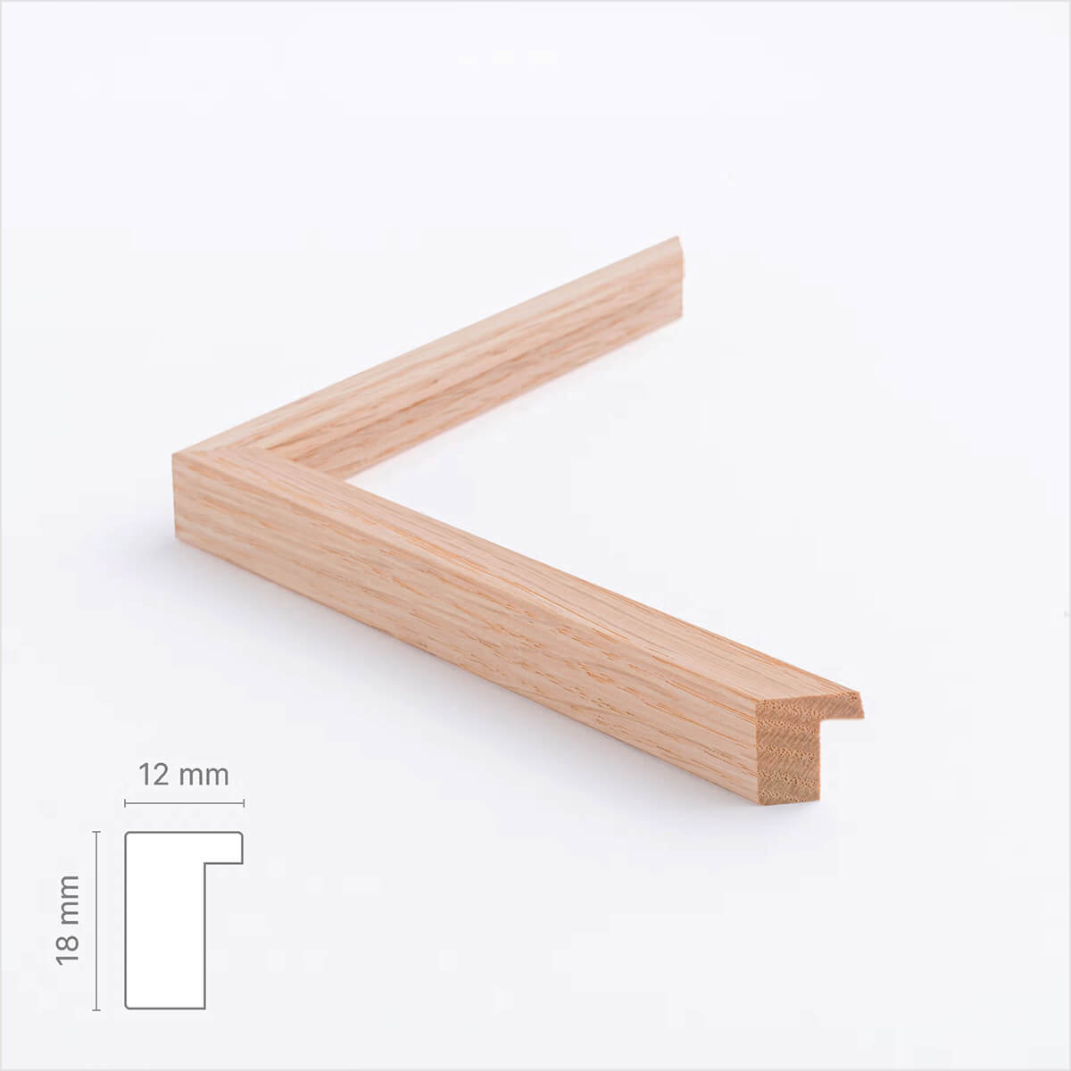
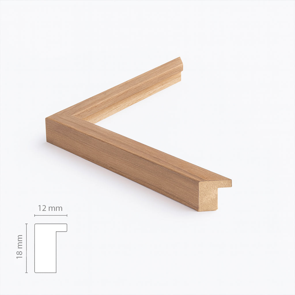
Solid oak frame - Custom size - Narrow (12 mm)
Sale price$17.00
From
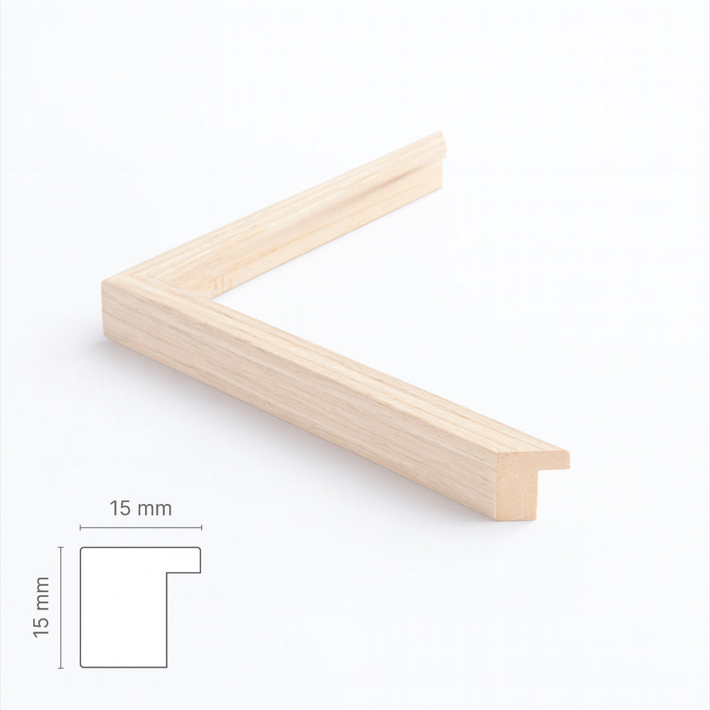
Light oak frame - Narrow (15 mm) - Custom Size
Sale price$17.00
From
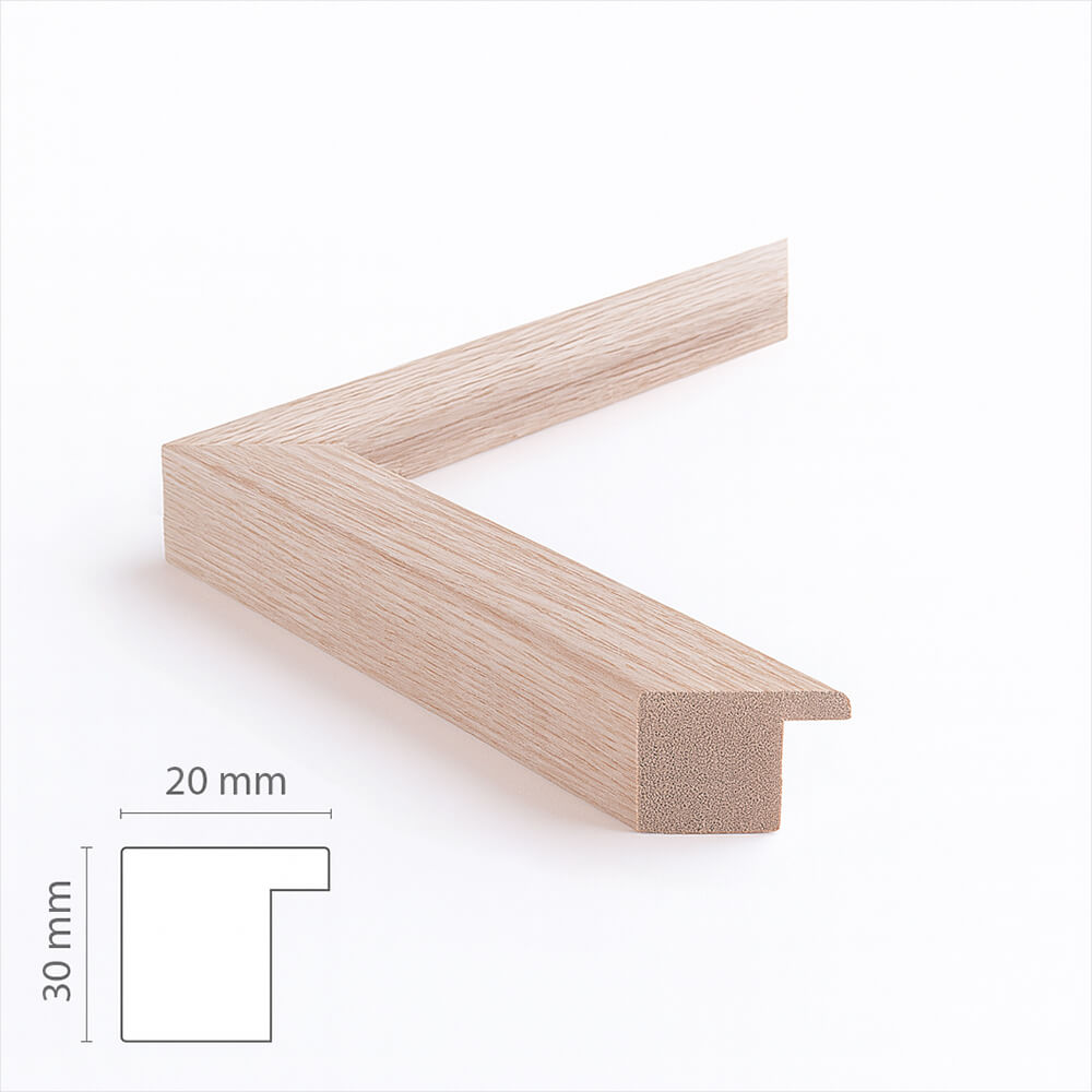
Dark oak frame - Wide (20 mm) - Custom size
Sale price$17.00
From
Dark oak wooden frame - Narrow (15 mm) - Custom size
Sale price$16.00
From
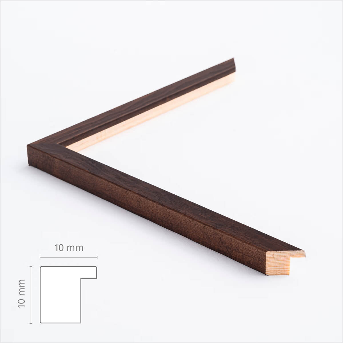
Dark wooden frame – Narrow (10 mm) – Custom size
Sale price$17.00
From
Brown matte wooden frame - Narrow (15 mm) - Custom size
Sale price$16.00
From
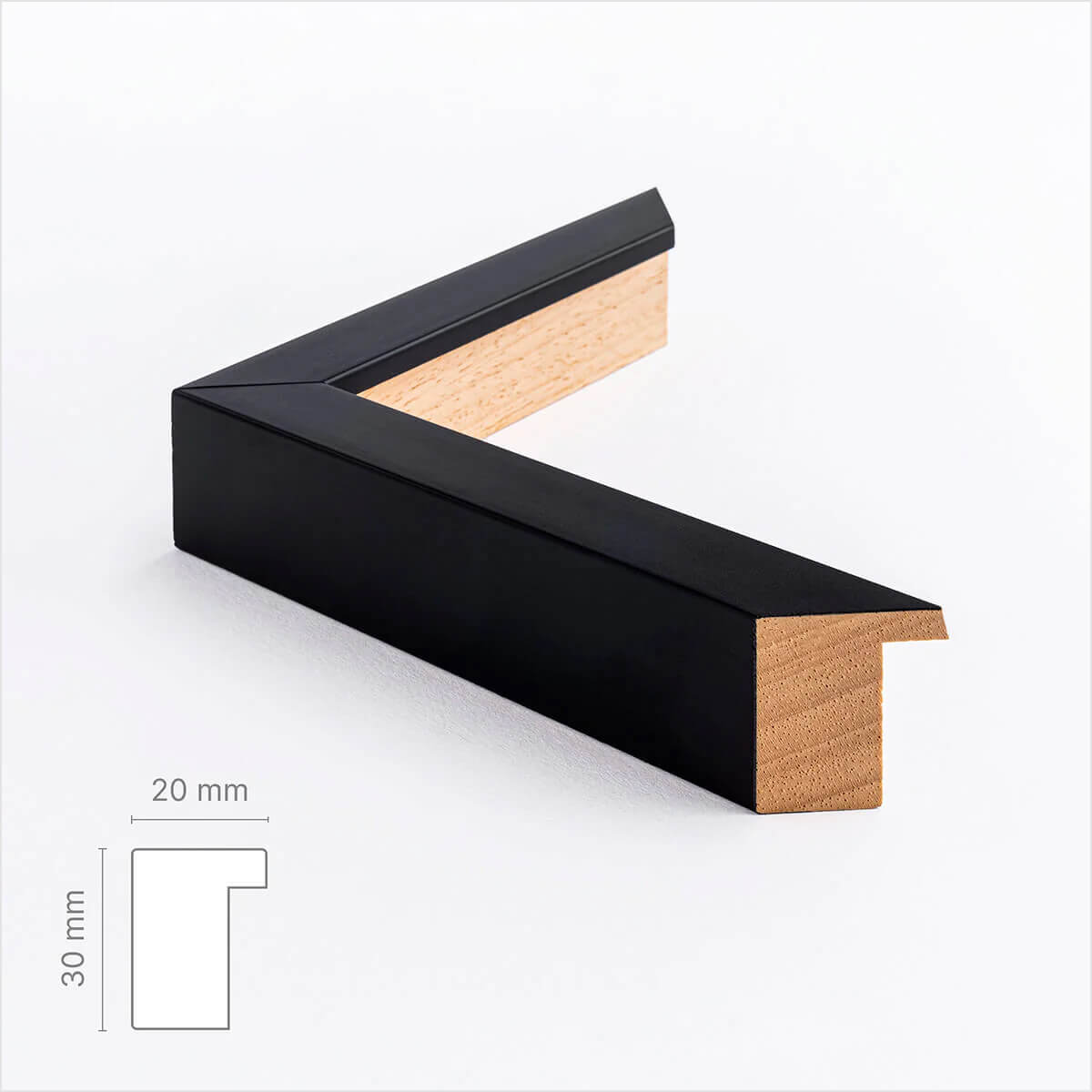
Black wooden frame - Wide (20 mm) - Custom Size
Sale price$16.00
From
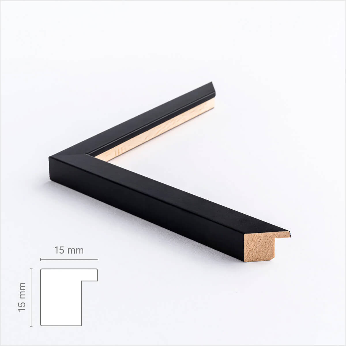
Black wooden frame - Narrow (15 mm) - Custom Size
Sale price$16.00
From
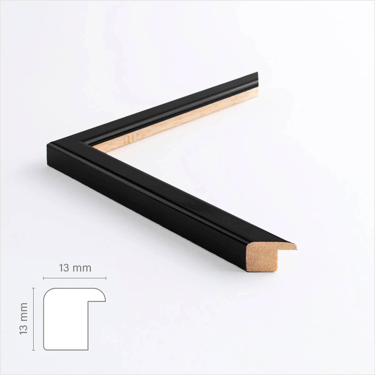
Black glossy wooden frame - Narrow (13 mm) - Custom size
Sale price$16.00
From
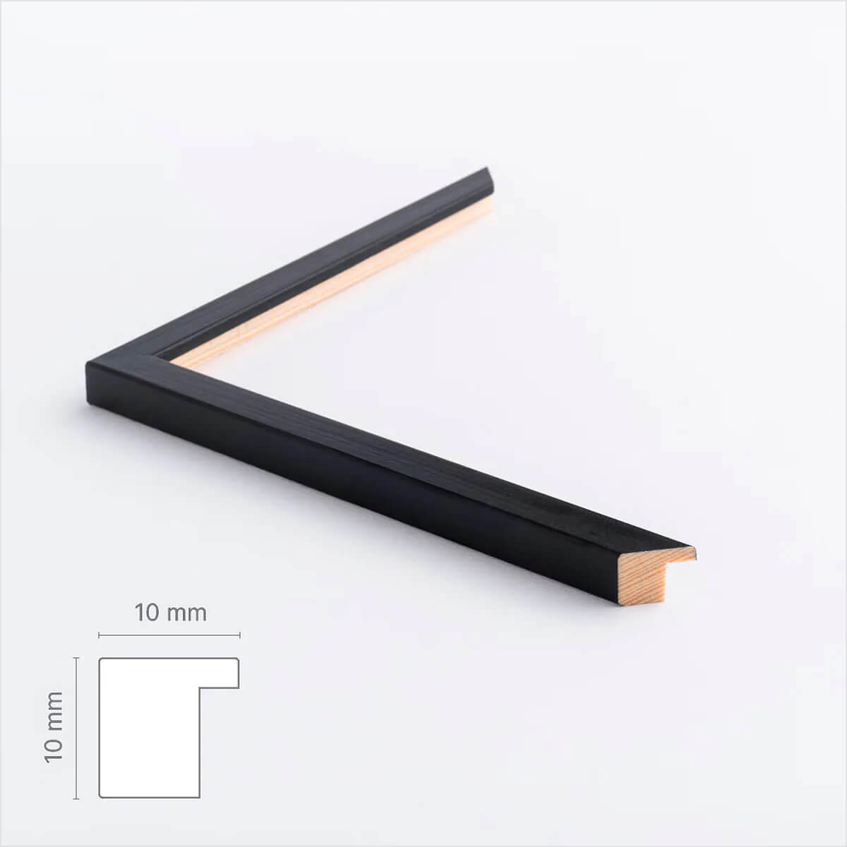
Black wooden frame - Narrow (10 mm) - Custom size
Sale price$16.00
From
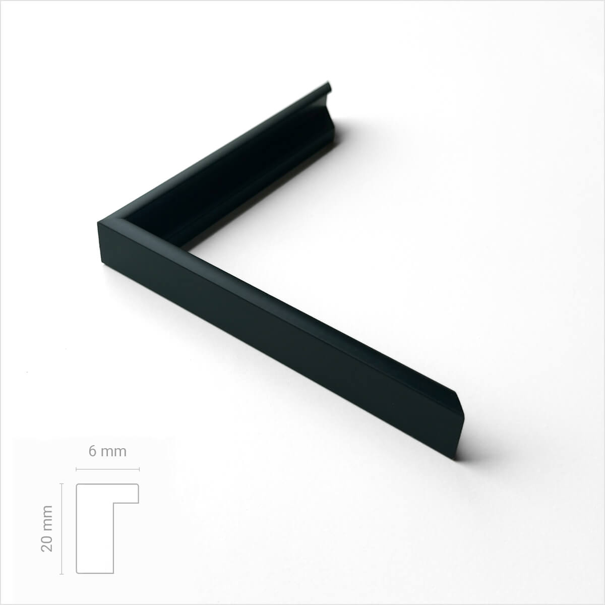
Black premium aluminum frame - Narrow (6 mm) - Custom Size
Sale price$17.00
From
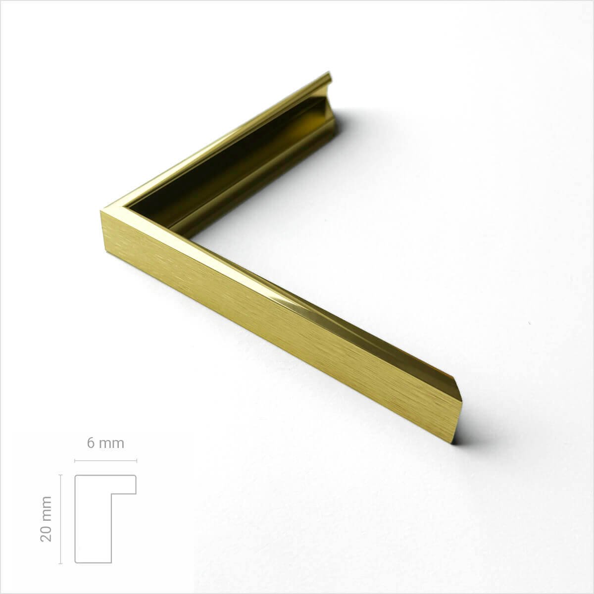
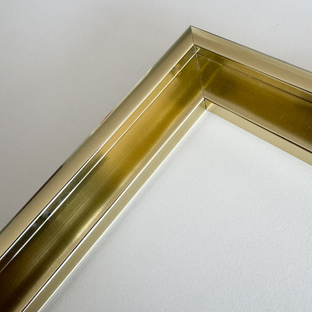
Golden premium aluminum frame - Narrow (6 mm) - Custom size
Sale price$17.00
From
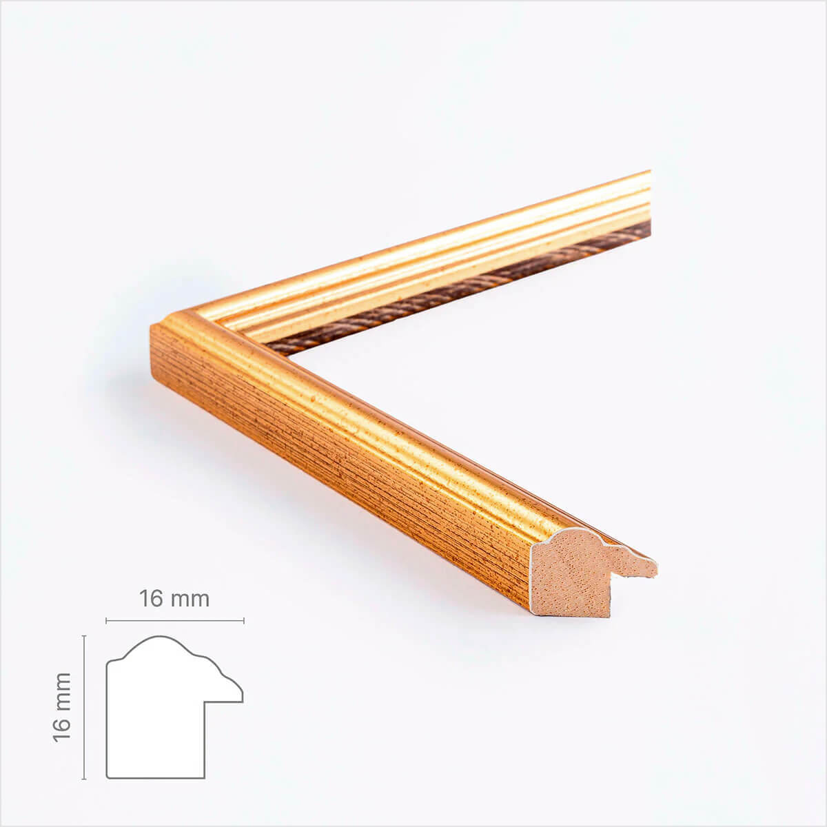
Vintage gold frame - Narrow (16 mm) - Custom Size
Sale price$18.00
From
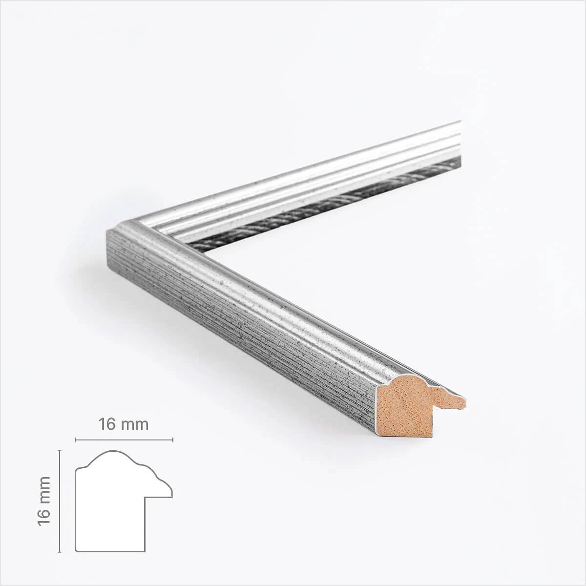
Vintage silver frame - Narrow (16 mm) - Custom size
Sale price$18.00
From
Recently added
Vintage lithographs
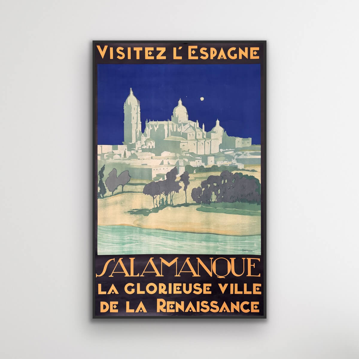
Salamanca - Visit Spain
Sale price$1,611.00
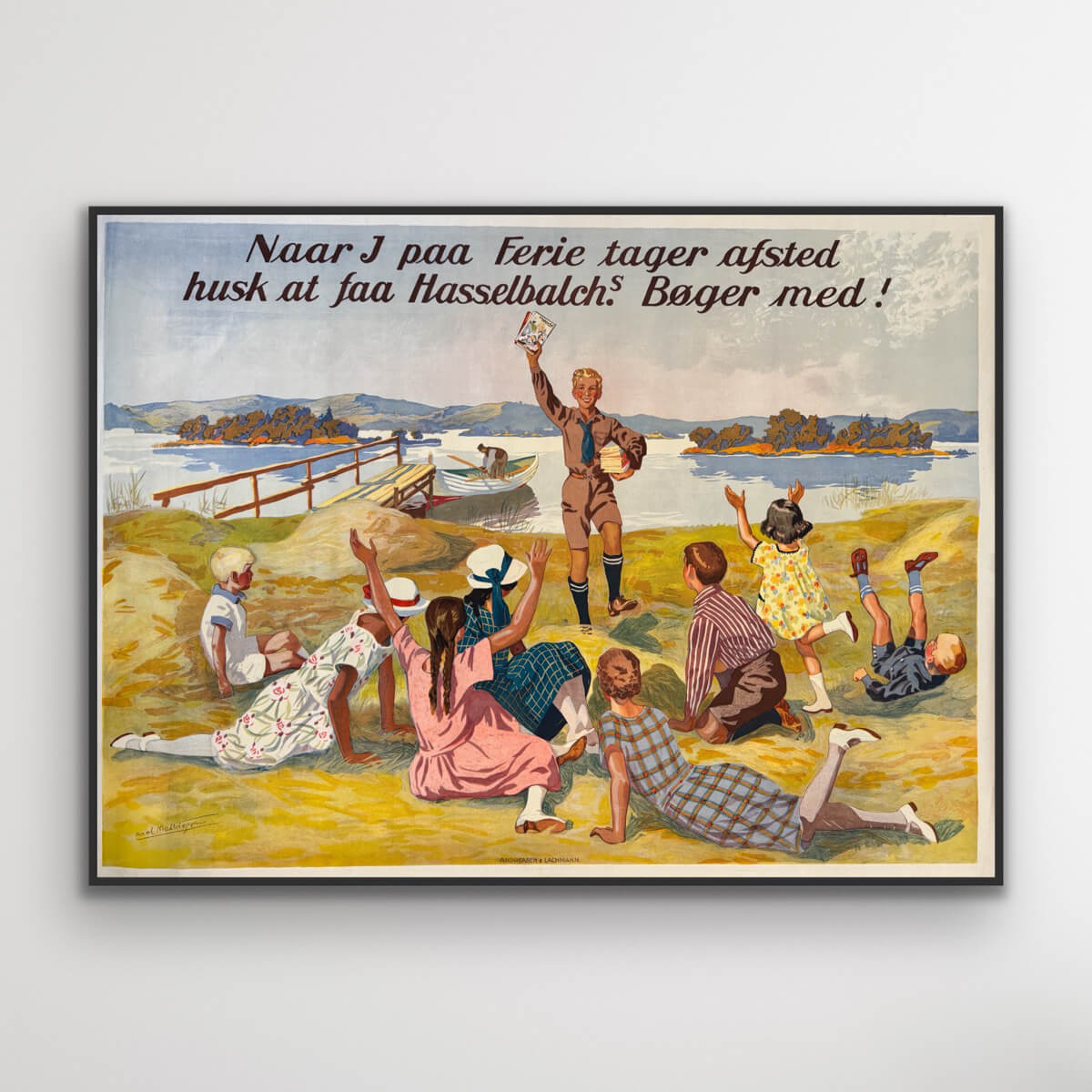
Hasselbach's books
Sale price$1,531.00
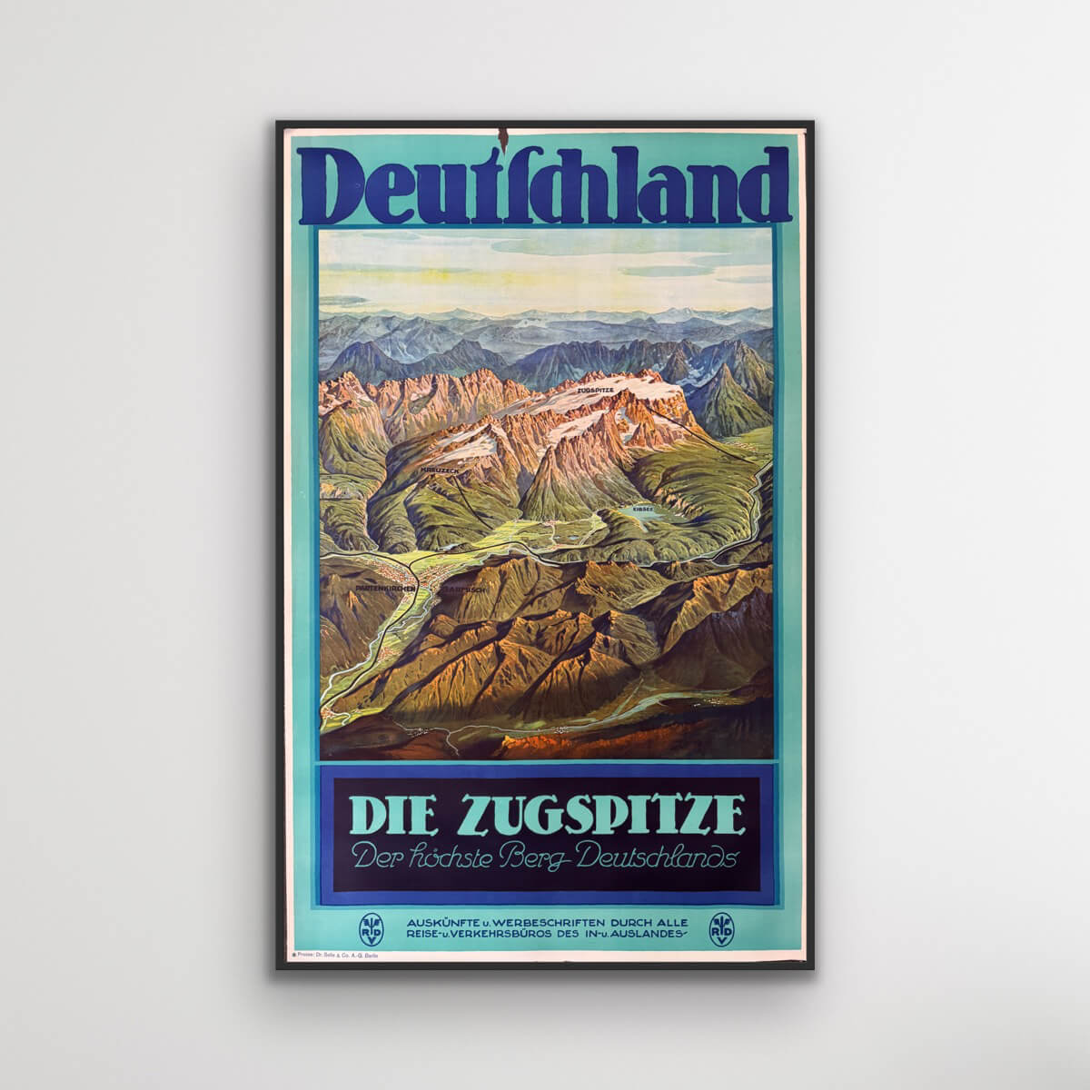
The Zugspitze - Germany
Sale price$613.00
Das Osaka-Schloss - Japan
Sale price$1,176.00
Visit Malaya
Sale price$4,028.00
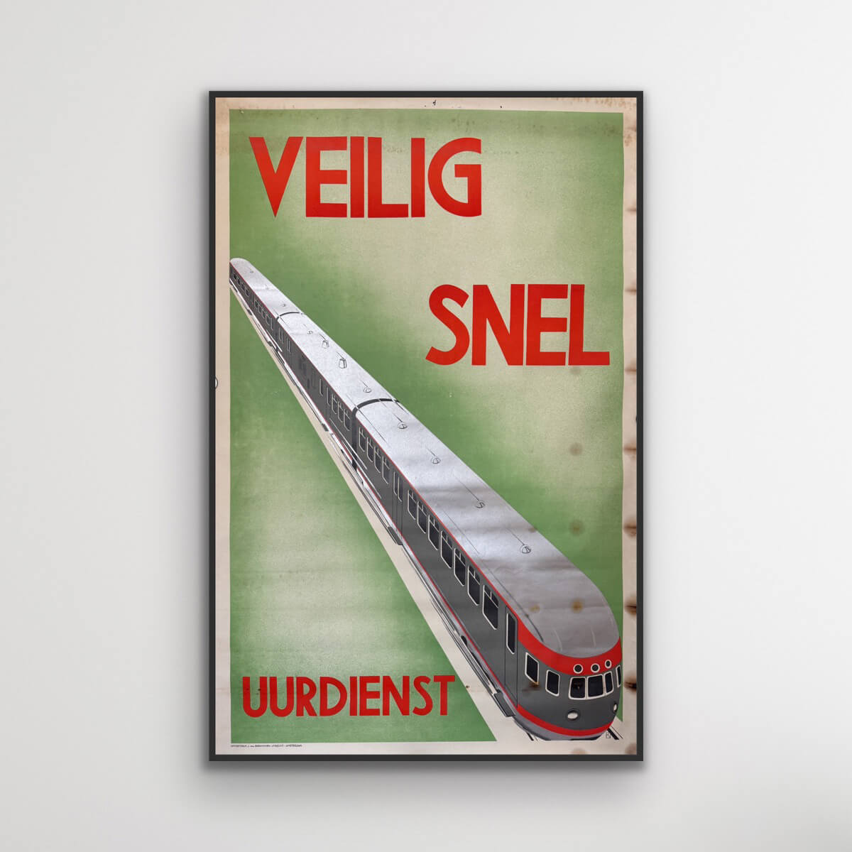
Hourly service - Safe and Fast
Sale price$725.00
Savoy
Sale price$774.00
Monte Rosa - Journey into the Mediterranean
Sale price$3,061.00
