Le Masif du Mont-Blanc 1924
| Artist: | Louis Trinquier-Trianon |
| Decade: | 1920s |
| Year: | 1924 |
| Published by: | Chemins de Fer Paris-Lyon |
| Lithographically printed by: | J. Barreau, Paris |
| Dimensions: | 78 x 108 cm |
| Country: | France |
| Condition: | 7/10 |

✓ Original - not a reprint!
✓ Delivery in 2-4 working days
✓ 100 days right of return
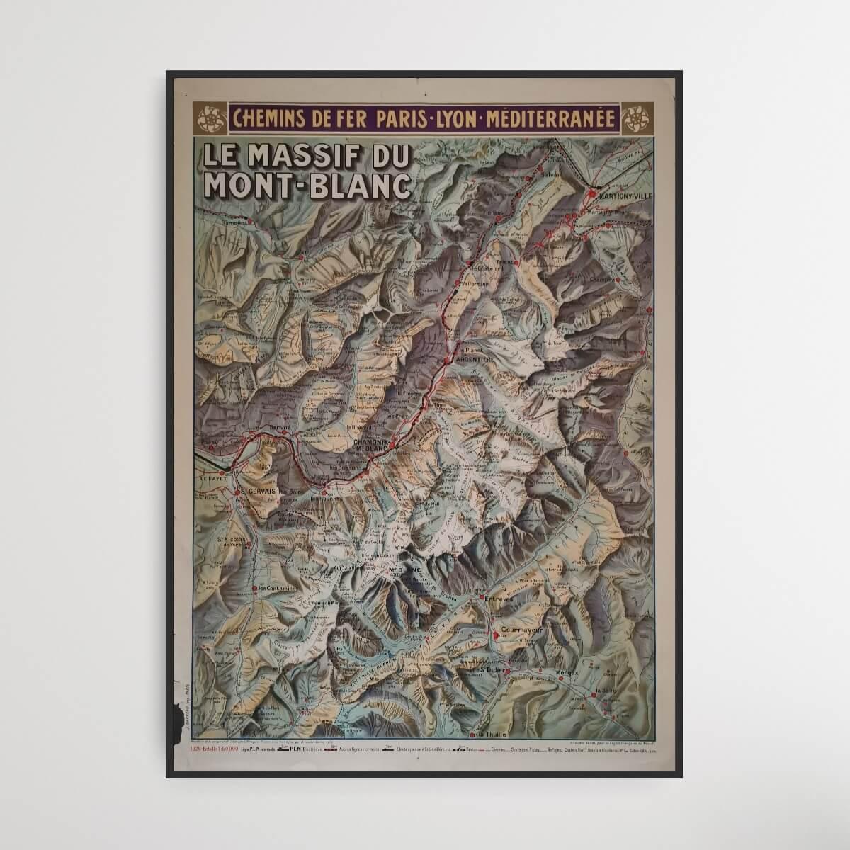
Impressive large map of Europe's highest mountain Mont Blanc, located in the French Alps. The original title of this French map is Le Masif du Mont-Blanc. A similar map is for sale elsewhere in a slightly better condition for 2000 EUR.
Condition: 7/10 - A lot of minor scratches on the sides, a large tear on the right side and patina, but the map itself appears in impressively good condition, even though it is almost 100 years old.
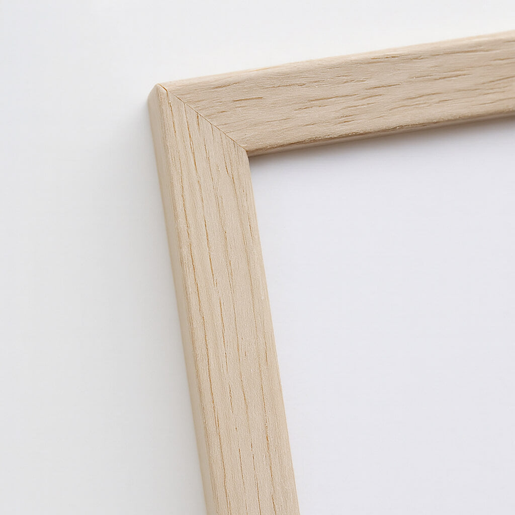
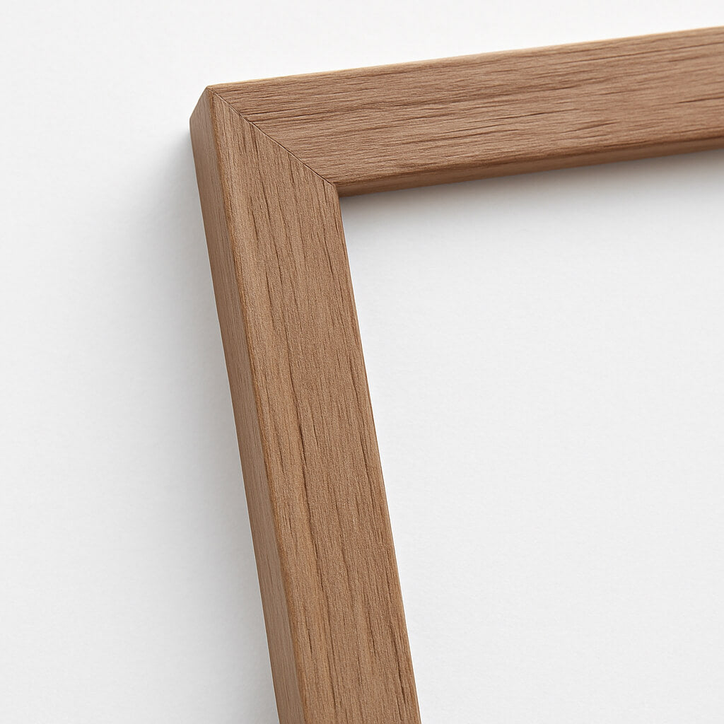
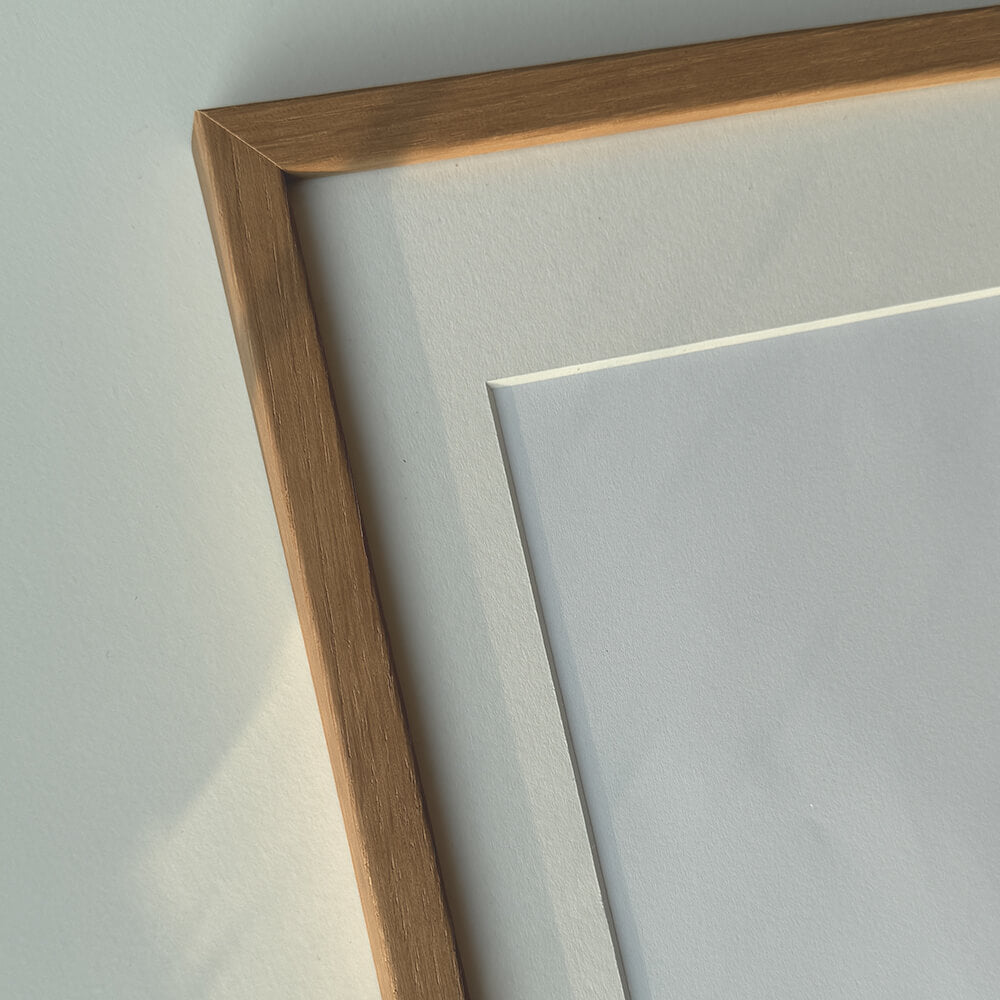
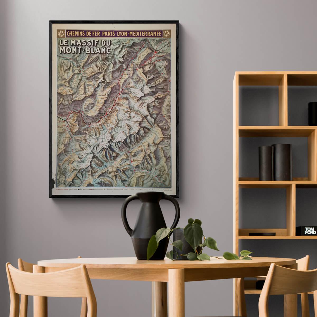
Frame is not included. See our large selection of exclusive frames that can be precisely adapted to the map.
0
Choose options


Le Masif du Mont-Blanc 1924
Sale price$806.00
Should the poster be framed?
Custom-size frames
Framebox - Custom size
Sale price$39.00
From
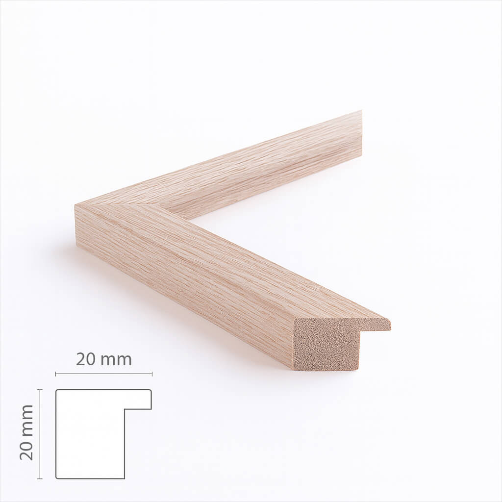
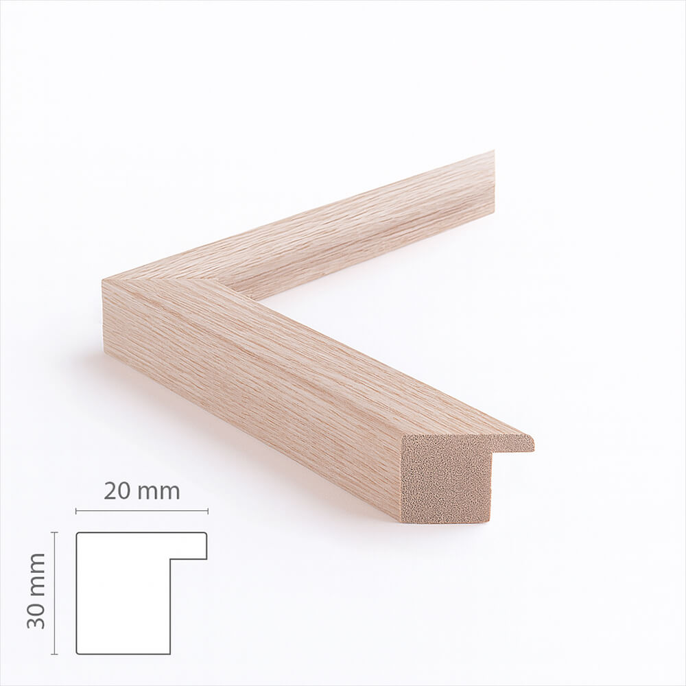
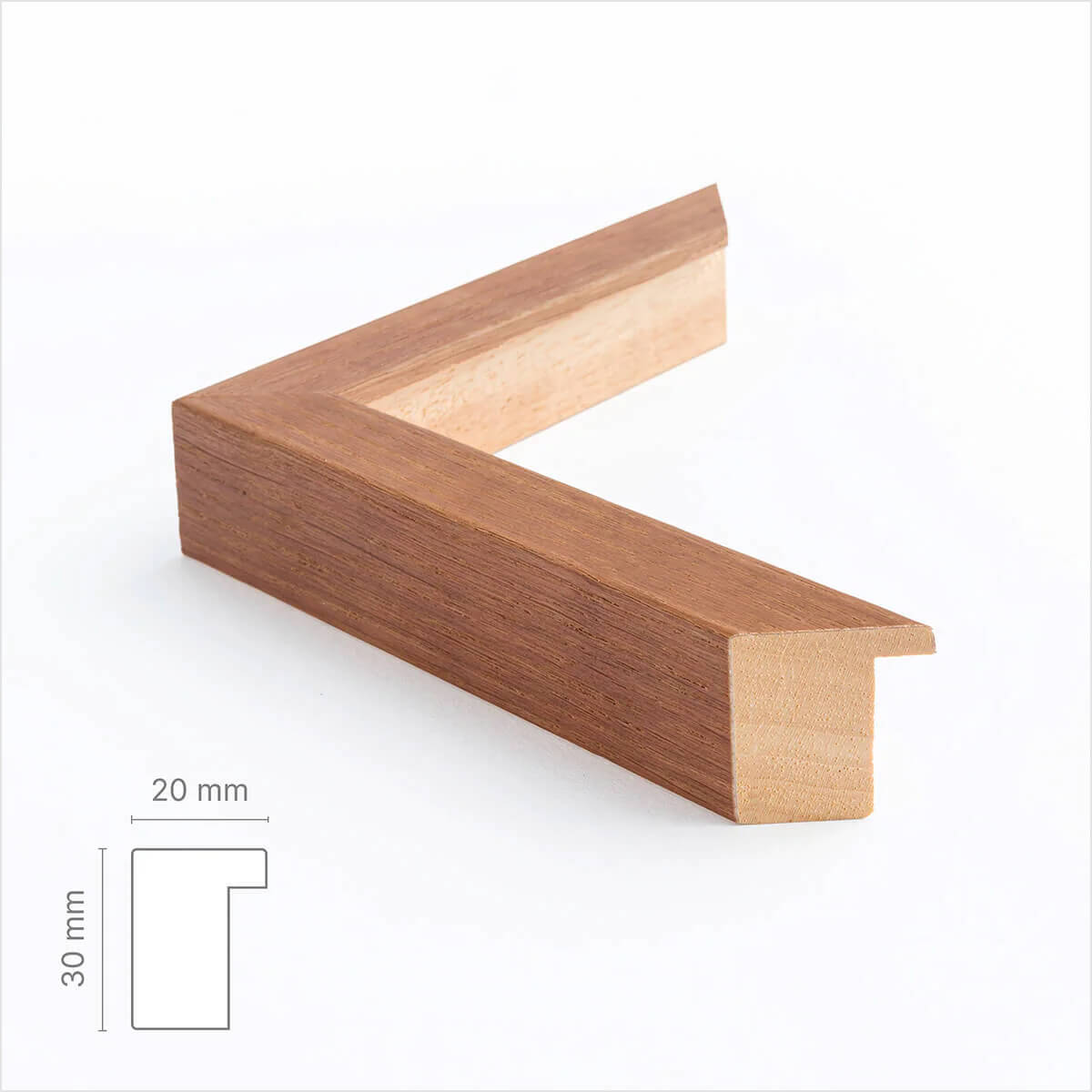
Custom size oak frame - Wide (20 mm)
Sale price$17.00
From
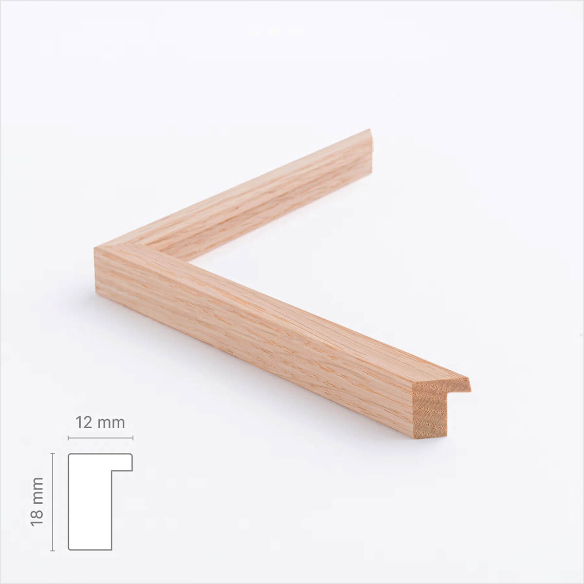
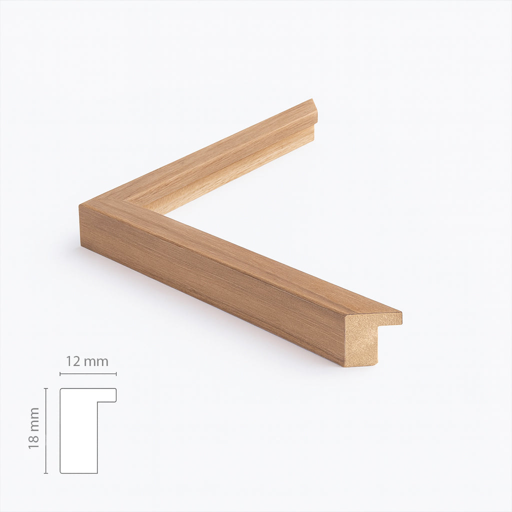
Solid oak frame - Custom size - Narrow (12 mm)
Sale price$17.00
From
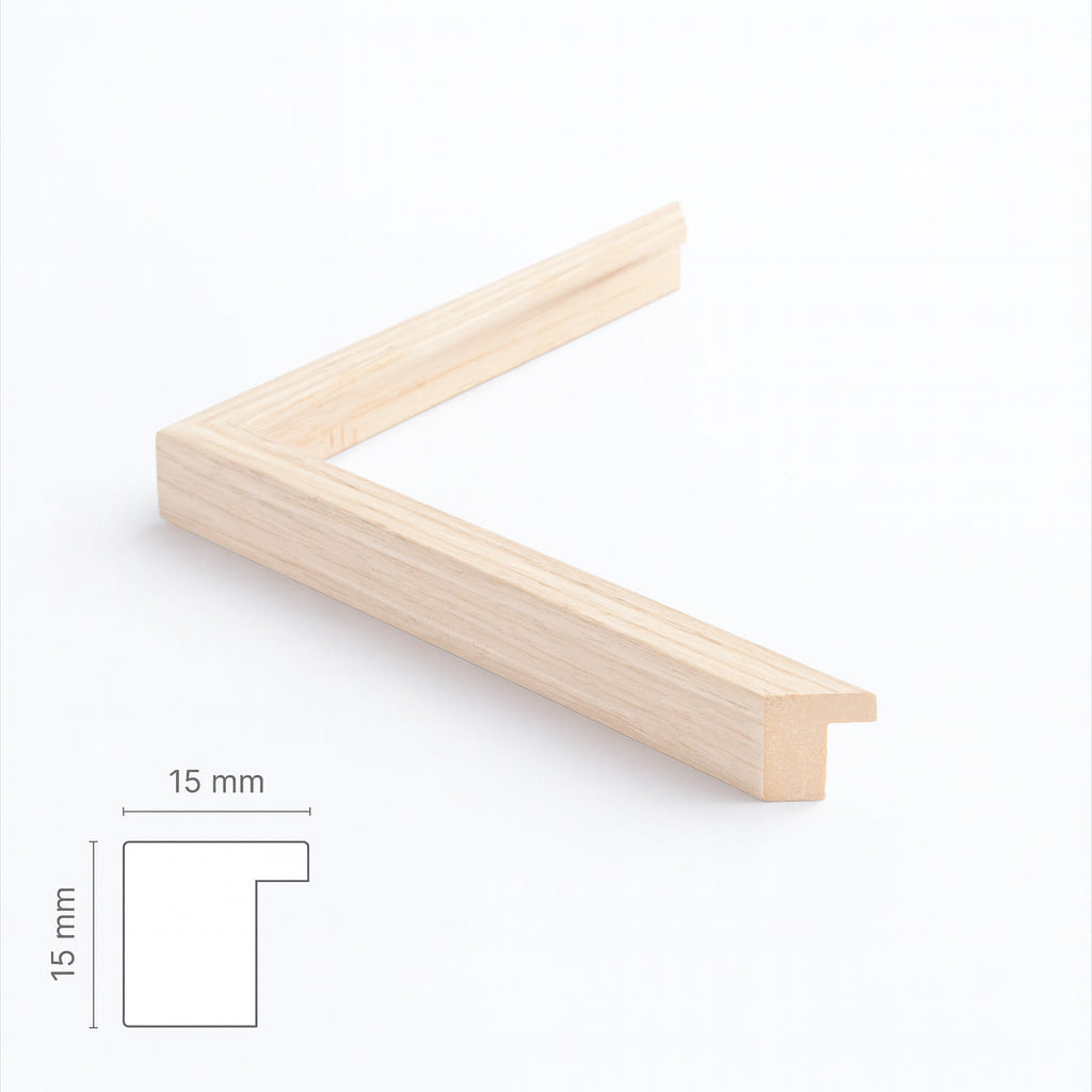
Light oak frame - Narrow (15 mm) - Custom Size
Sale price$17.00
From
Dark oak frame - Wide (20 mm) - Custom size
Sale price$17.00
From
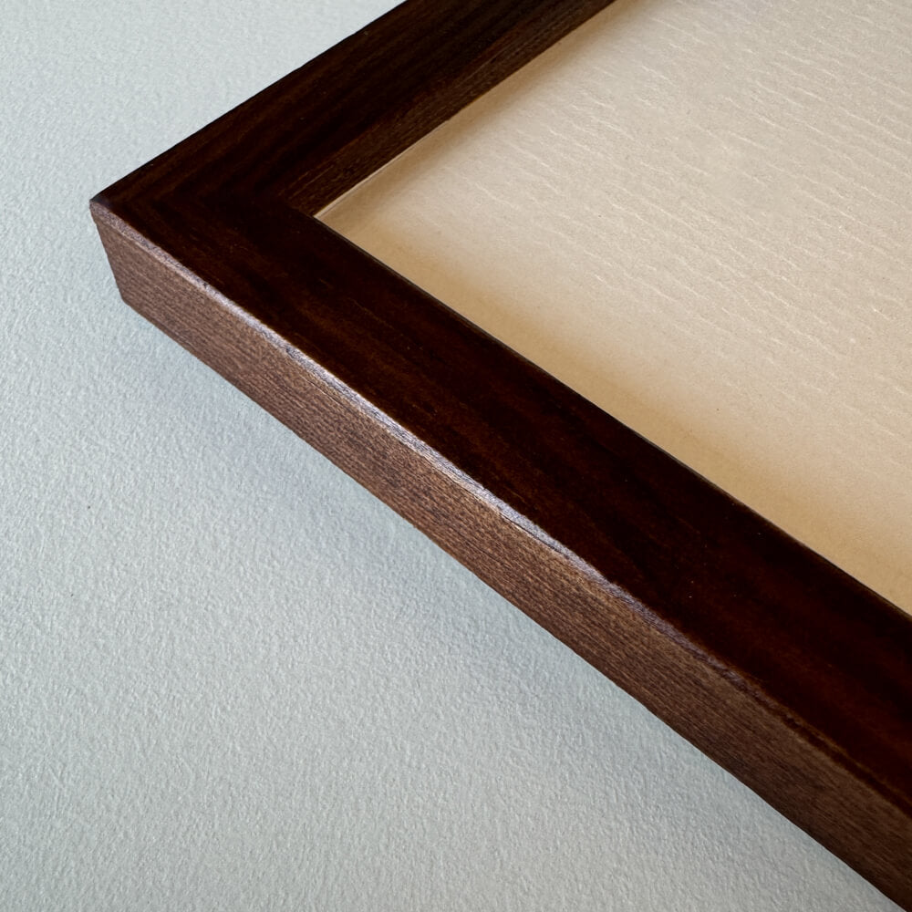
Dark oak wooden frame - Narrow (15 mm) - Custom size
Sale price$16.00
From
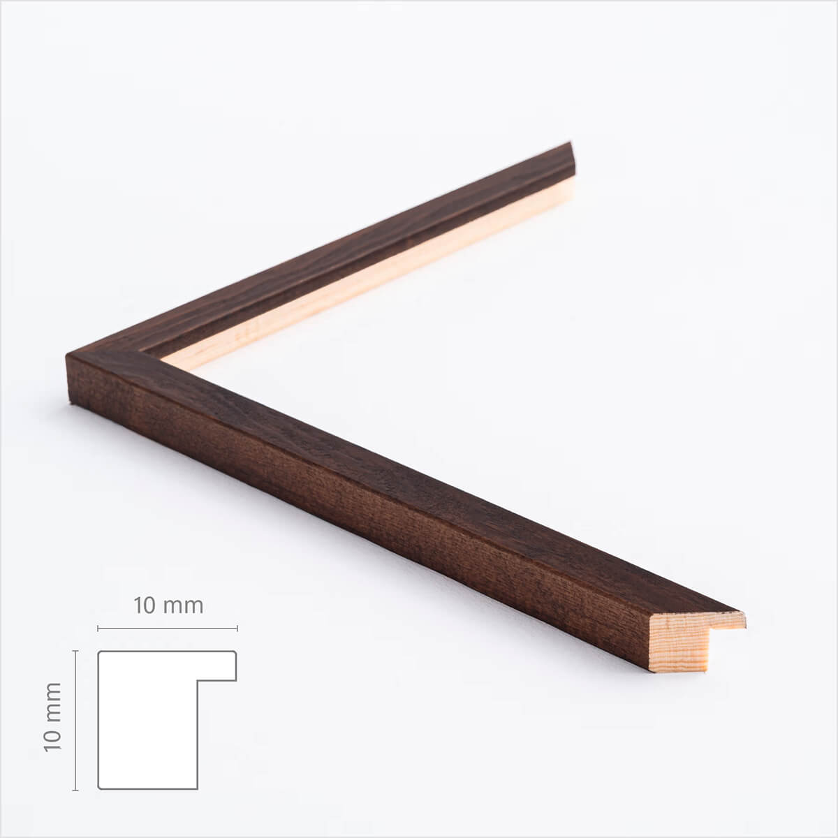
Dark wooden frame – Narrow (10 mm) – Custom size
Sale price$17.00
From
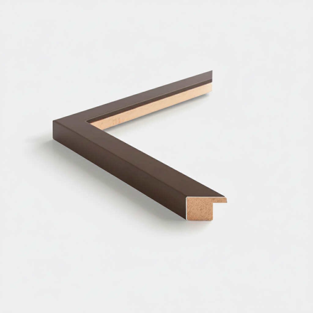
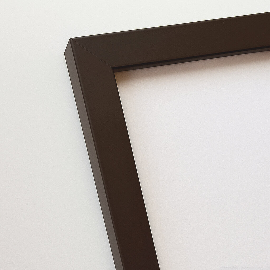
Brown matte wooden frame - Narrow (15 mm) - Custom size
Sale price$16.00
From
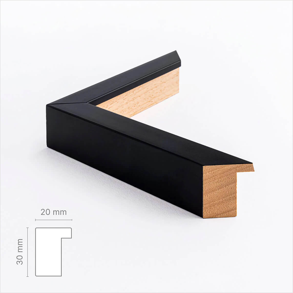
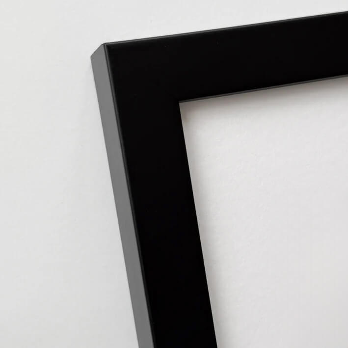
Black wooden frame - Wide (20 mm) - Custom Size
Sale price$16.00
From
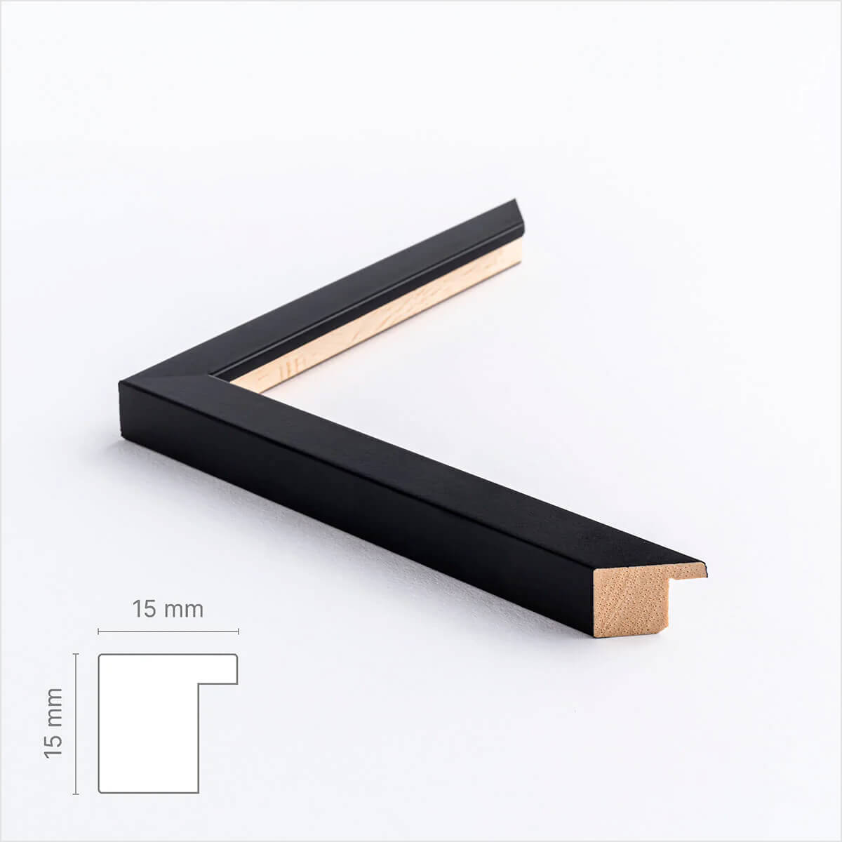
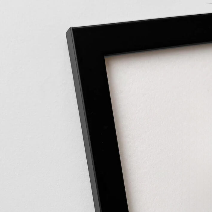
Black wooden frame - Narrow (15 mm) - Custom Size
Sale price$16.00
From
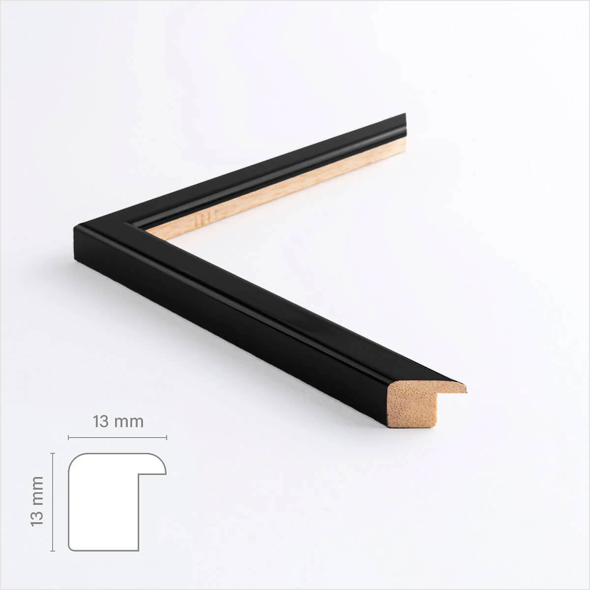
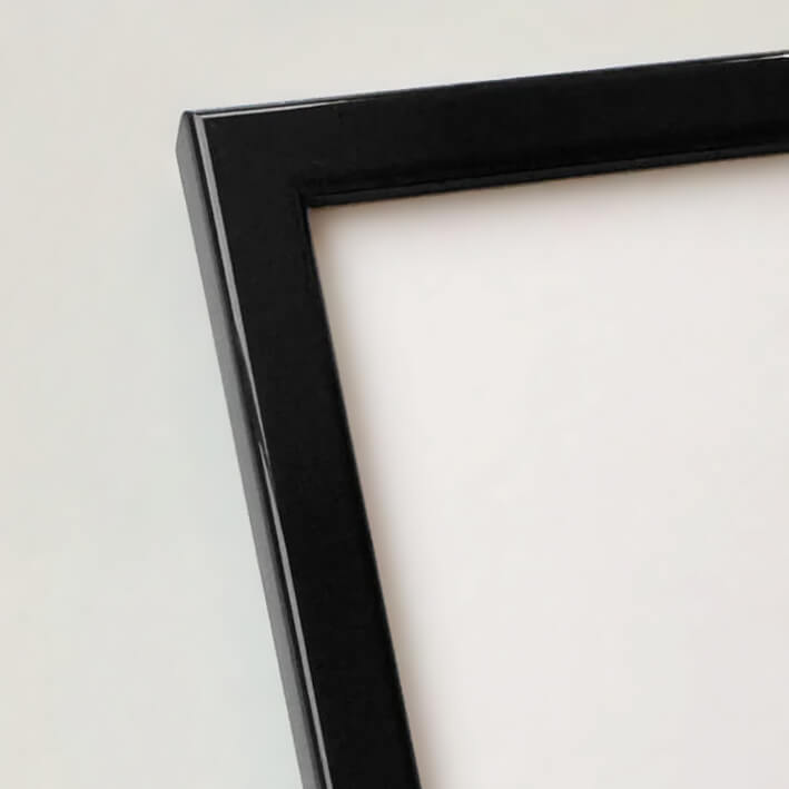
Black glossy wooden frame - Narrow (13 mm) - Custom size
Sale price$16.00
From
Black wooden frame - Narrow (10 mm) - Custom size
Sale price$16.00
From
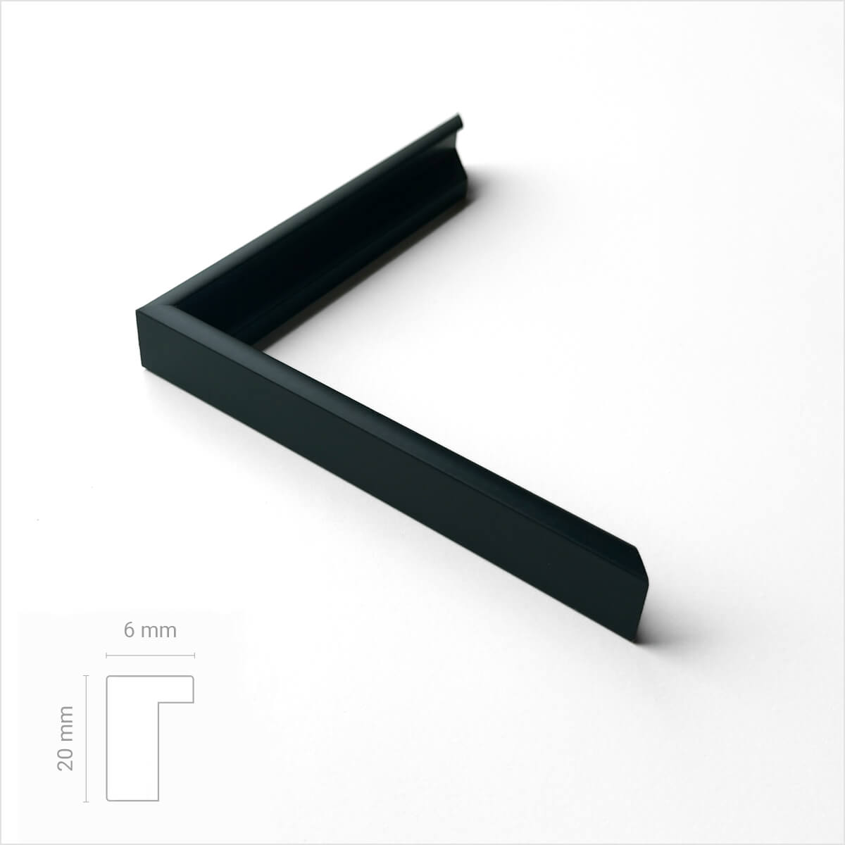
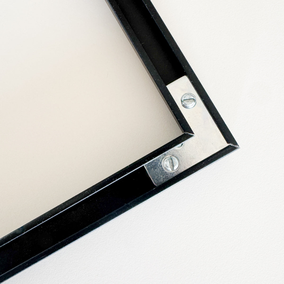
Black premium aluminum frame - Narrow (6 mm) - Custom Size
Sale price$17.00
From
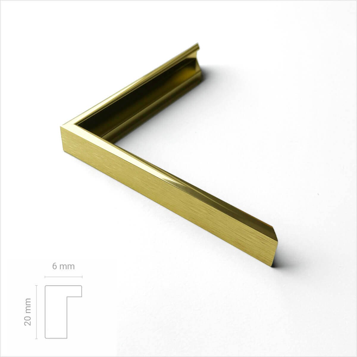
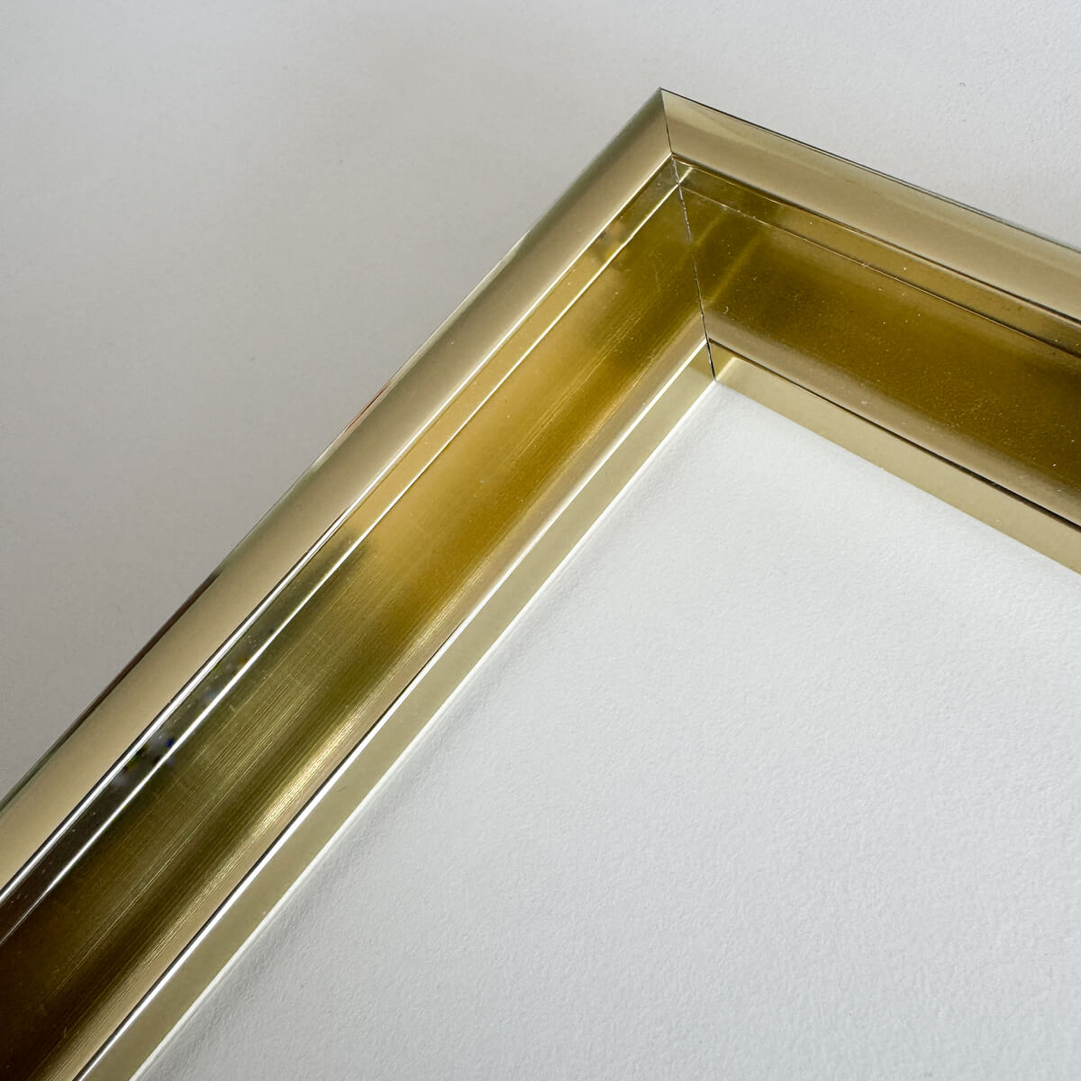
Golden premium aluminum frame - Narrow (6 mm) - Custom size
Sale price$17.00
From
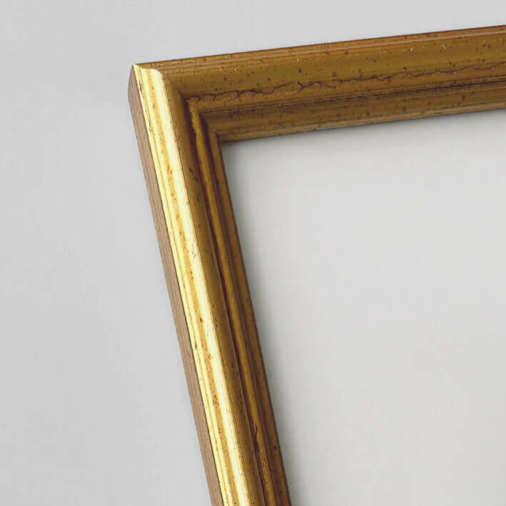
Vintage gold frame - Narrow (16 mm) - Custom Size
Sale price$18.00
From
Vintage silver frame - Narrow (16 mm) - Custom size
Sale price$18.00
From
Recently added
Vintage lithographs
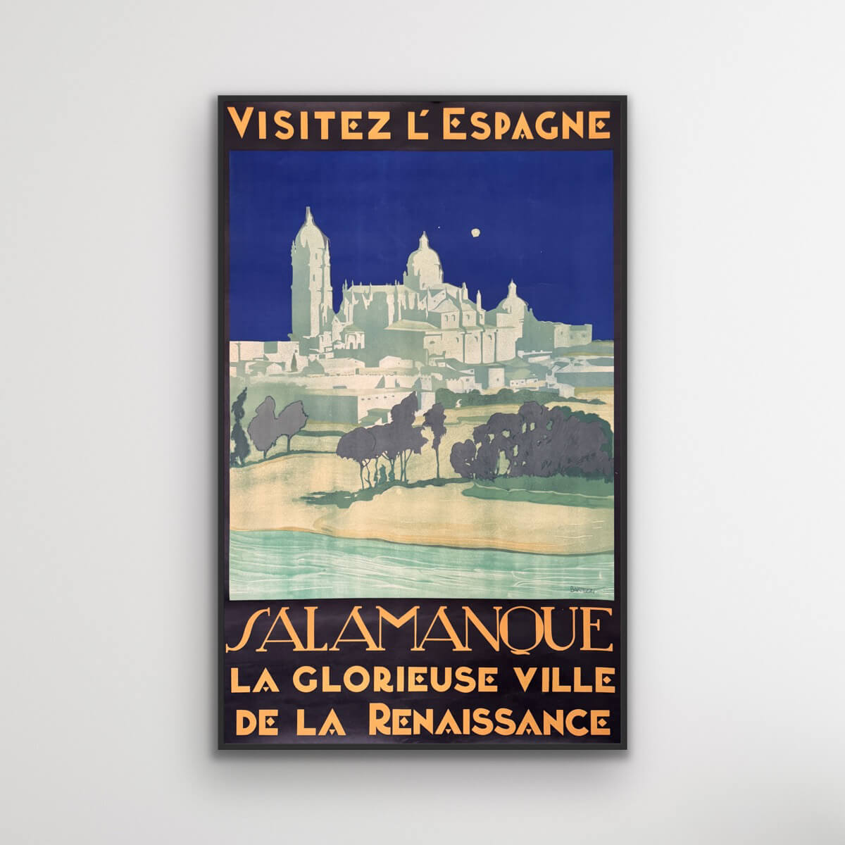
Salamanca - Visit Spain
Sale price$1,611.00
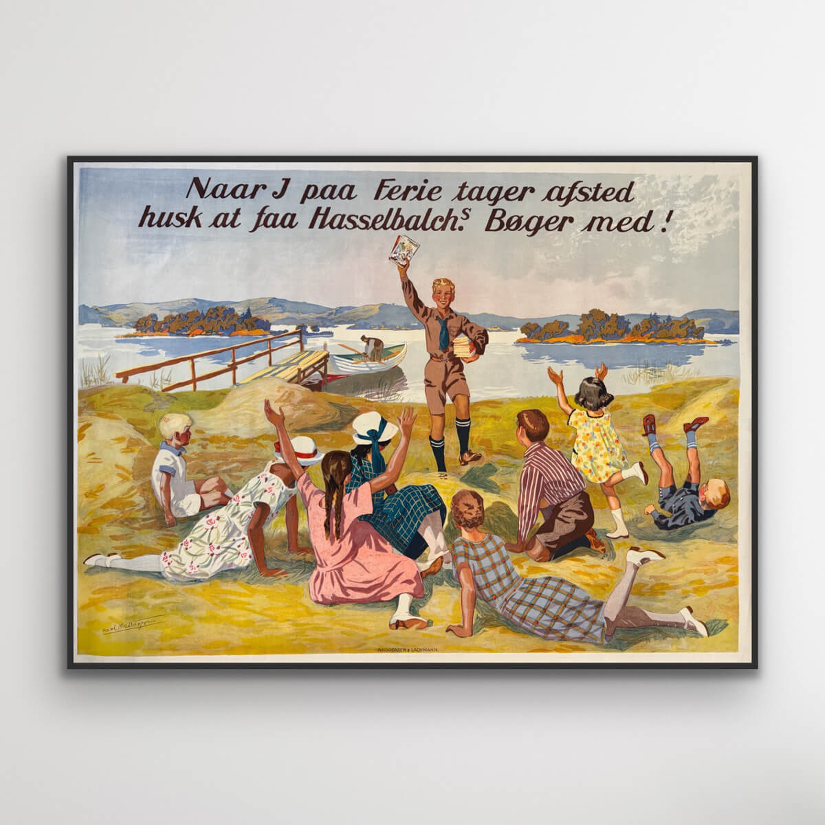
Hasselbach's books
Sale price$1,531.00
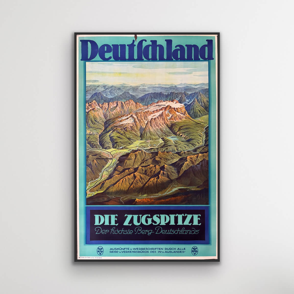
The Zugspitze - Germany
Sale price$613.00
Das Osaka-Schloss - Japan
Sale price$1,176.00
Visit Malaya
Sale price$4,027.00
Hourly service - Safe and Fast
Sale price$725.00
Savoy
Sale price$774.00
Monte Rosa - Journey into the Mediterranean
Sale price$3,061.00
