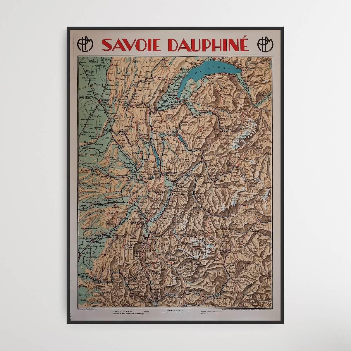
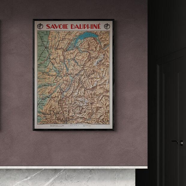
Savoie Dauphiné
| Designer: | Jean Dollfus |
| Decade: | 1920s |
| Year: | 1928 |
| Dimensions: | 78.5 x 108 cm |
| Lithographically printed by: | The Paris Cartographic Institute |
| Country: | France |
| Condition: | 8/10 |

✓ Original - not a reprint!
✓ Delivery in 2-4 working days
✓ 100 days right of return
Savoie is a French department, located in the Auvergne-Rhône-Alpes region. The capital is called Chambéry. Dauphiné was a former French province that had Grenoble as its capital. Dauphiné means dolphin, and there were dolphins in Dauphiné's flag and coat of arms. The most famous cities on this map are Grenoble, Chambéry, Valence, Bourg and the Swiss cities of Geneva and Lausanne.
The map is part of a larger collection of French maps, designed by Jean Dollfus.
Condition: 8/10 - The map has only a little patina and edge cracks.
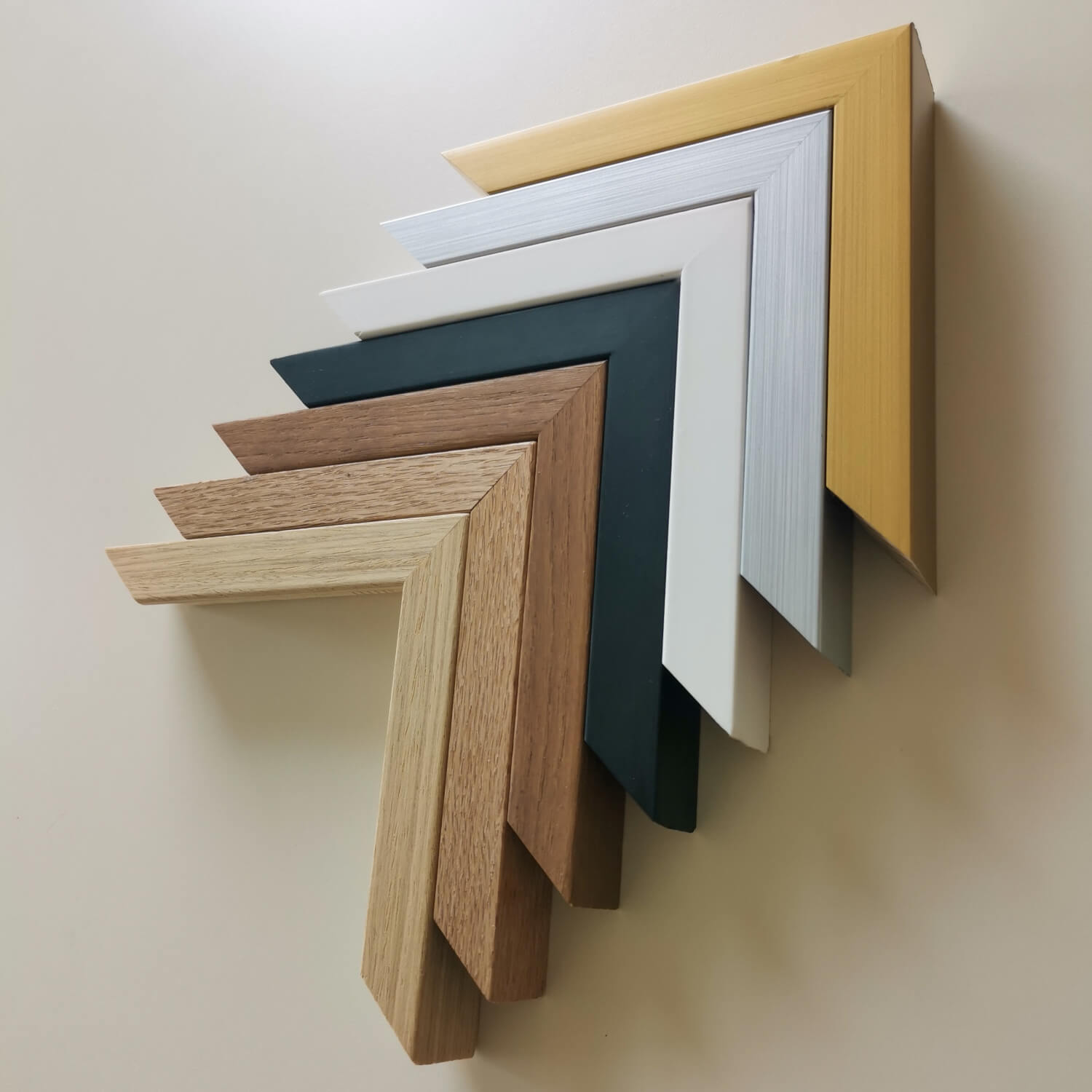
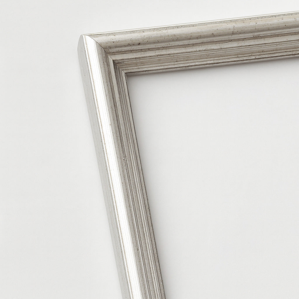
Frame is not included. See our large selection of exclusive frames, which can be precisely adapted to the map's large 78.5 x 108 cm format.
The map is part of a larger collection of French maps, designed by Jean Dollfus.
Condition: 8/10 - The map has only a little patina and edge cracks.
Frame is not included. See our large selection of exclusive frames, which can be precisely adapted to the map's large 78.5 x 108 cm format.
0
Choose options


Savoie Dauphiné
Sale price$477.00
Should the poster be framed?
Custom-size frames
Framebox - Custom size
Sale price$39.00
From
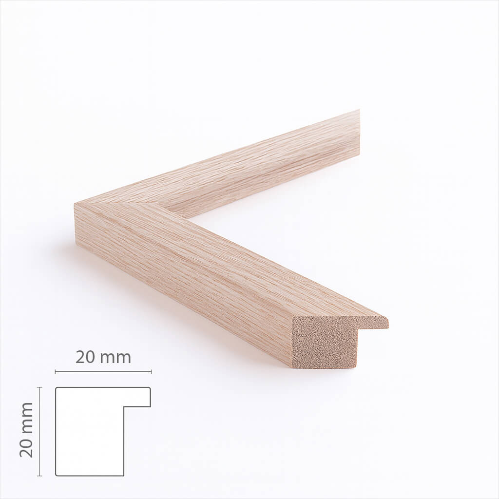
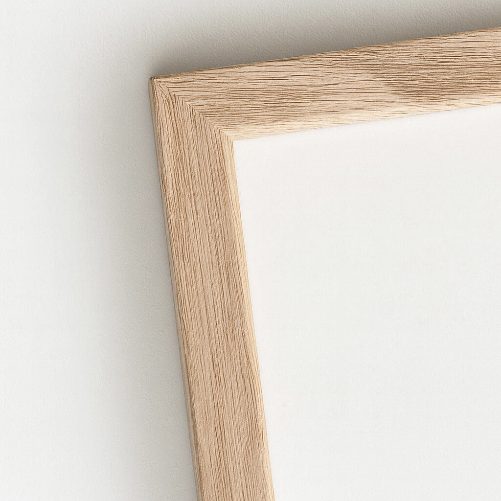
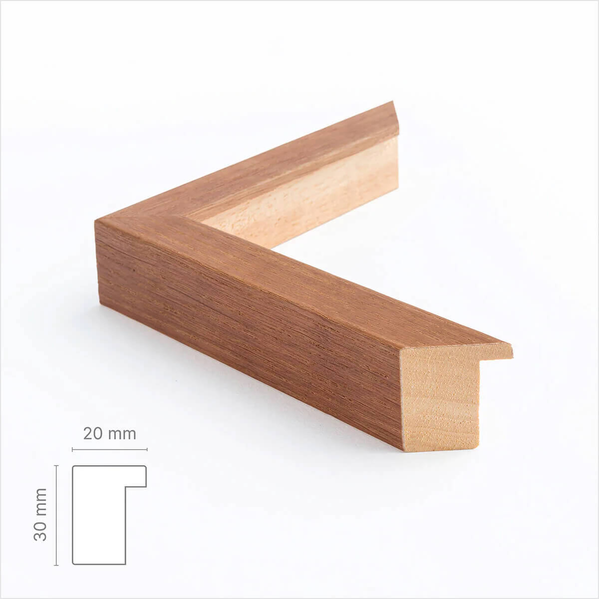
Custom size oak frame - Wide (20 mm)
Sale price$17.00
From
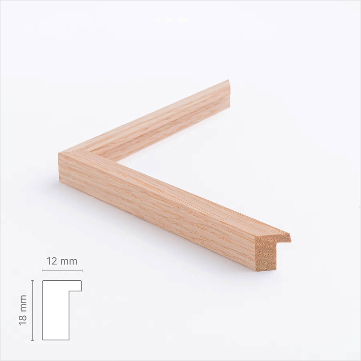
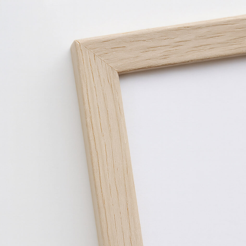
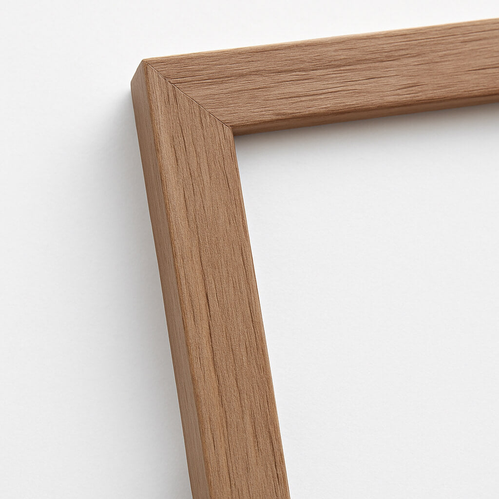
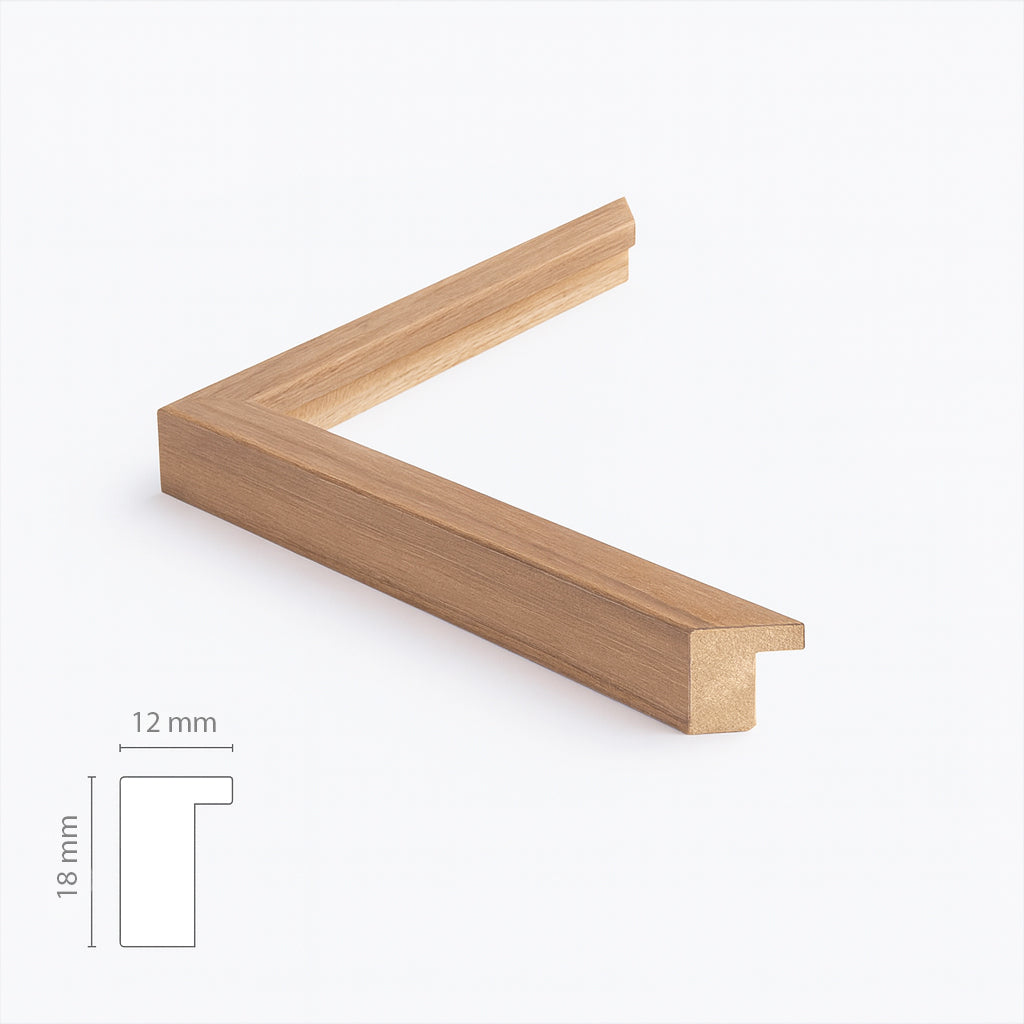
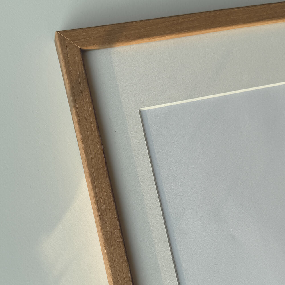
Solid oak frame - Custom size - Narrow (12 mm)
Sale price$17.00
From
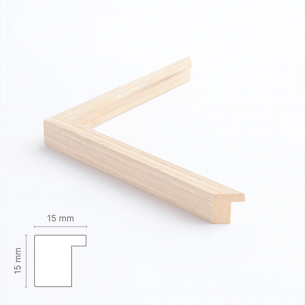
Light oak frame - Narrow (15 mm) - Custom Size
Sale price$17.00
From
Dark oak frame - Wide (20 mm) - Custom size
Sale price$17.00
From
Dark oak wooden frame - Narrow (15 mm) - Custom size
Sale price$16.00
From
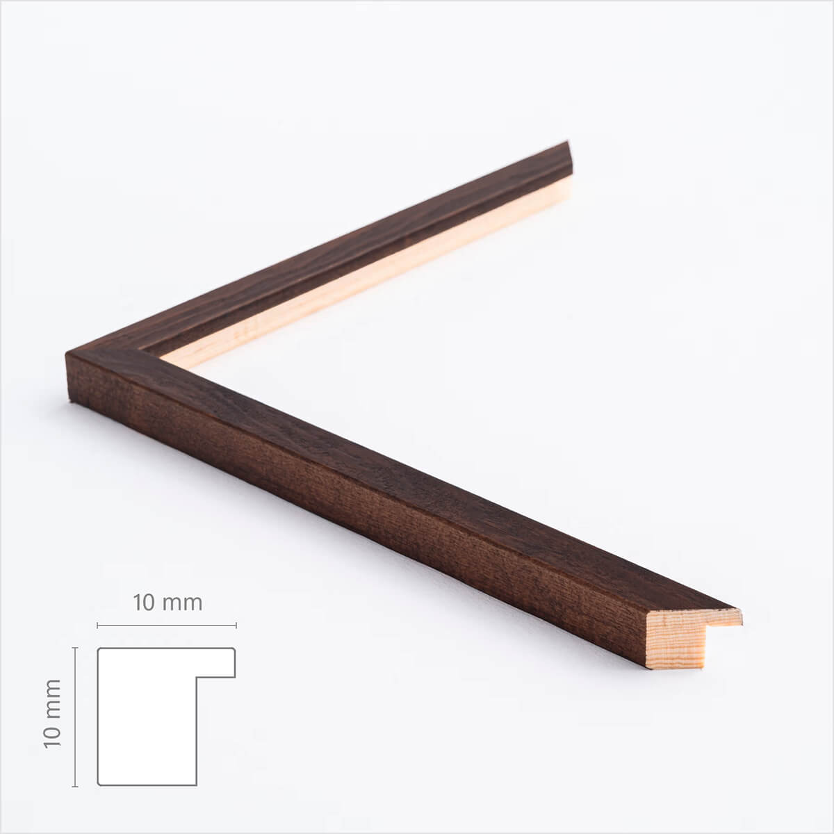
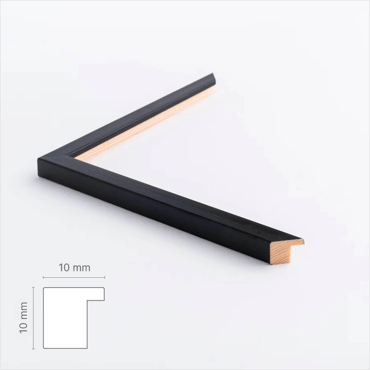
Dark wooden frame – Narrow (10 mm) – Custom size
Sale price$17.00
From
Brown matte wooden frame - Narrow (15 mm) - Custom size
Sale price$16.00
From
Black wooden frame - Wide (20 mm) - Custom Size
Sale price$16.00
From
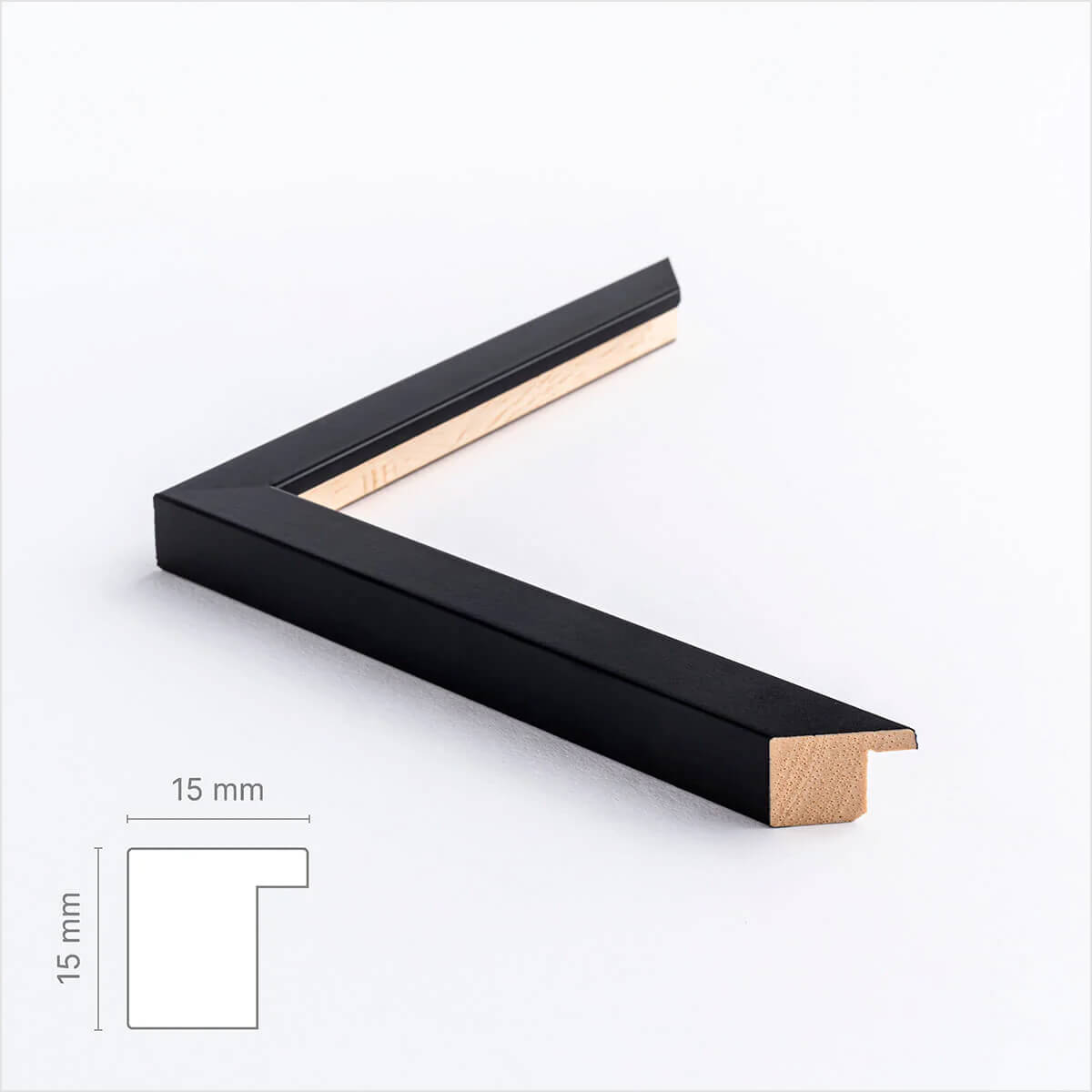
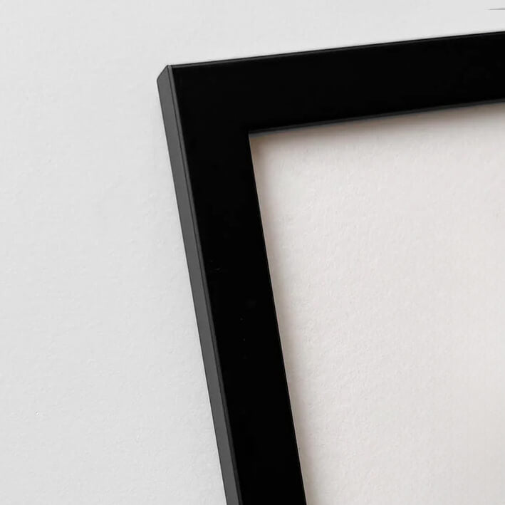
Black wooden frame - Narrow (15 mm) - Custom Size
Sale price$16.00
From
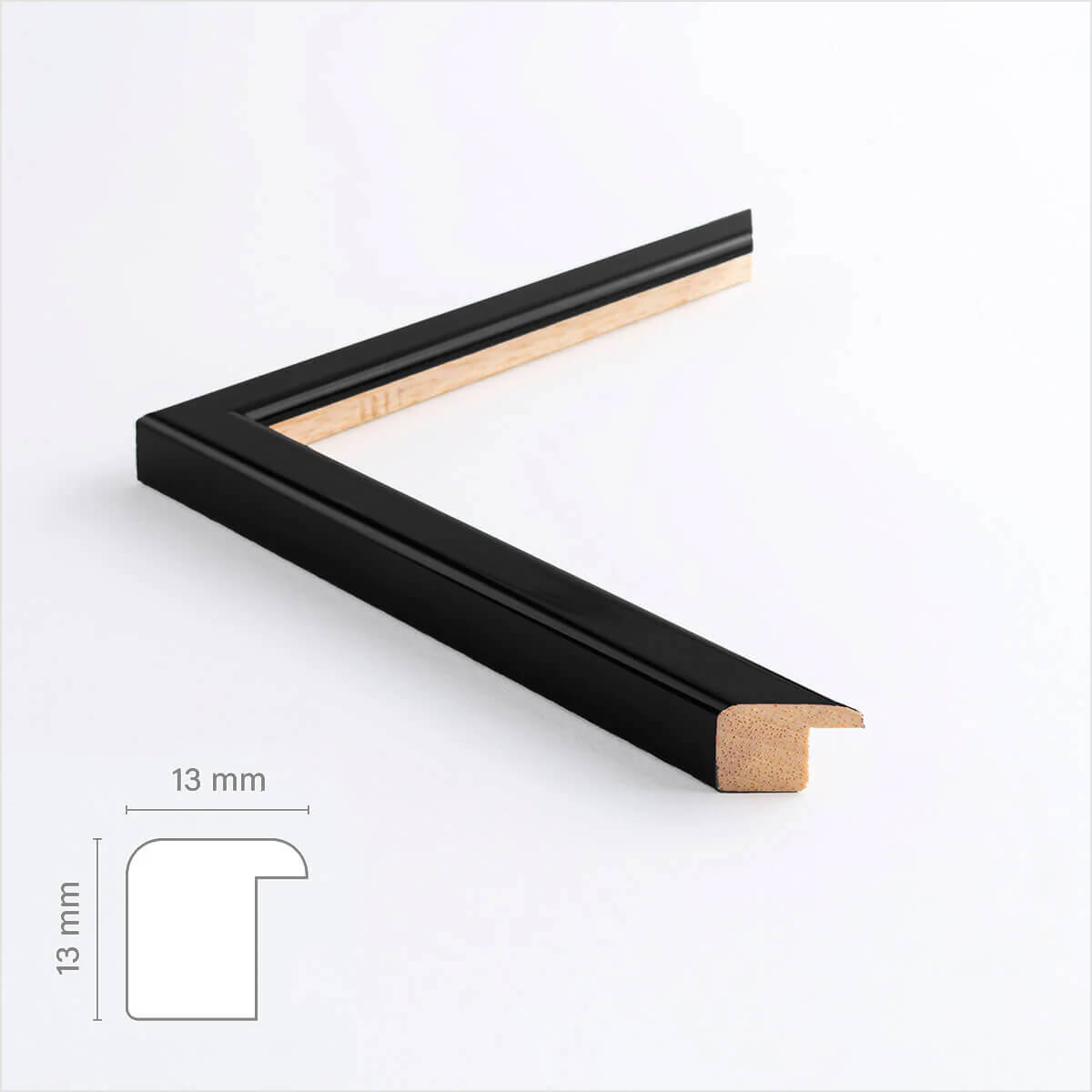
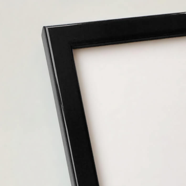
Black glossy wooden frame - Narrow (13 mm) - Custom size
Sale price$16.00
From
Black wooden frame - Narrow (10 mm) - Custom size
Sale price$16.00
From
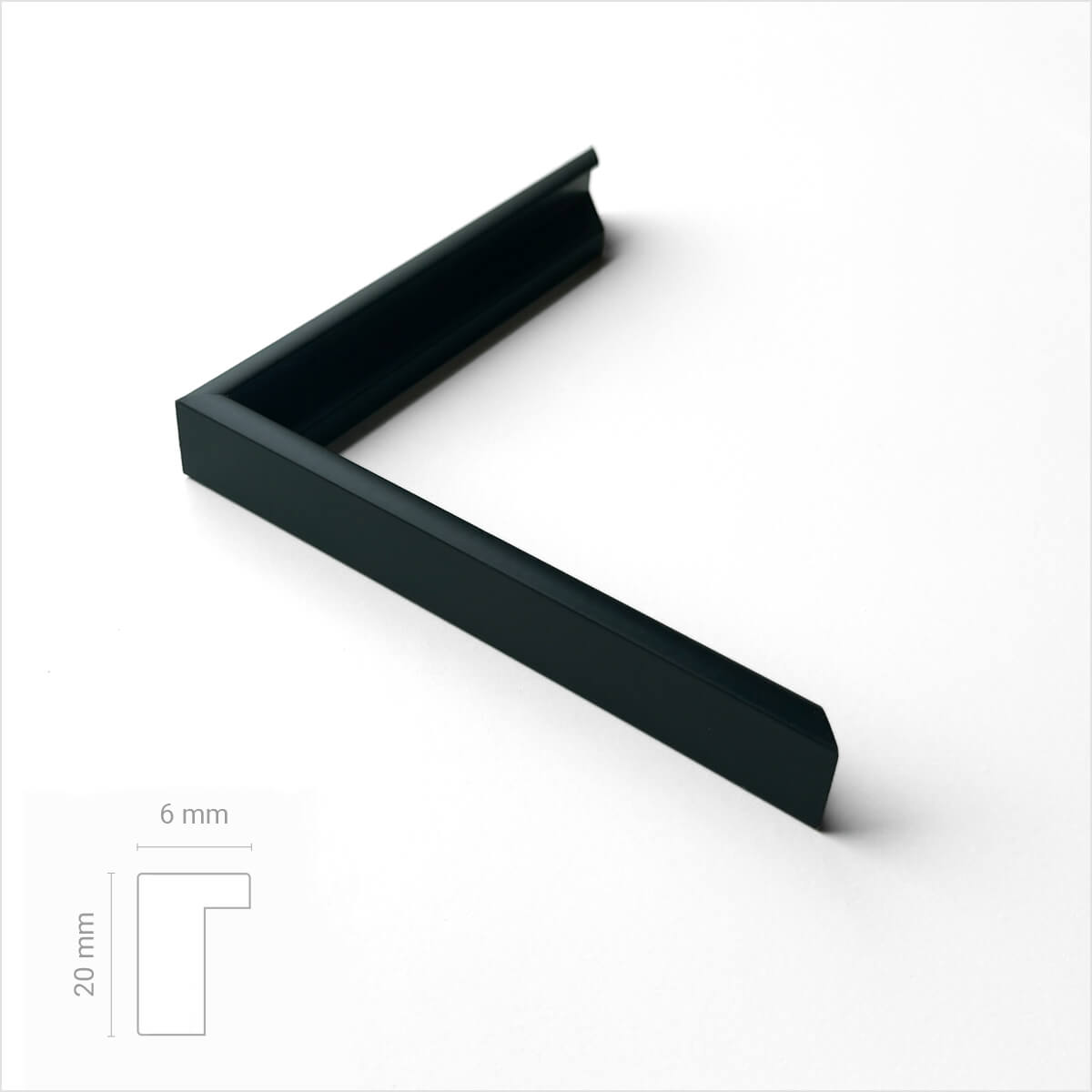
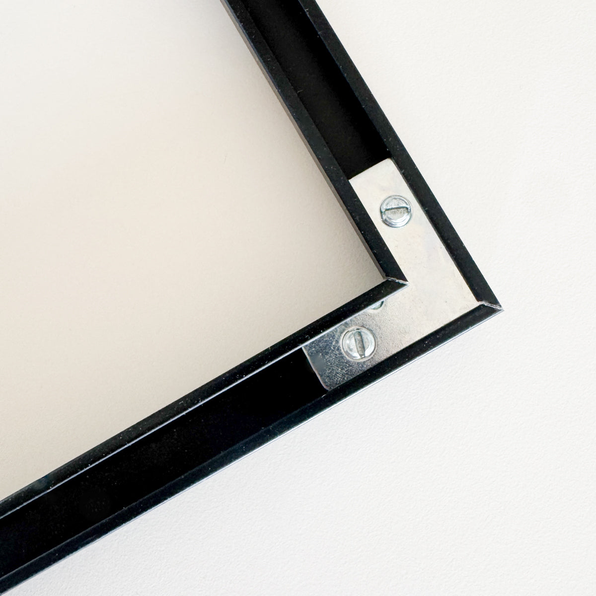
Black premium aluminum frame - Narrow (6 mm) - Custom Size
Sale price$17.00
From
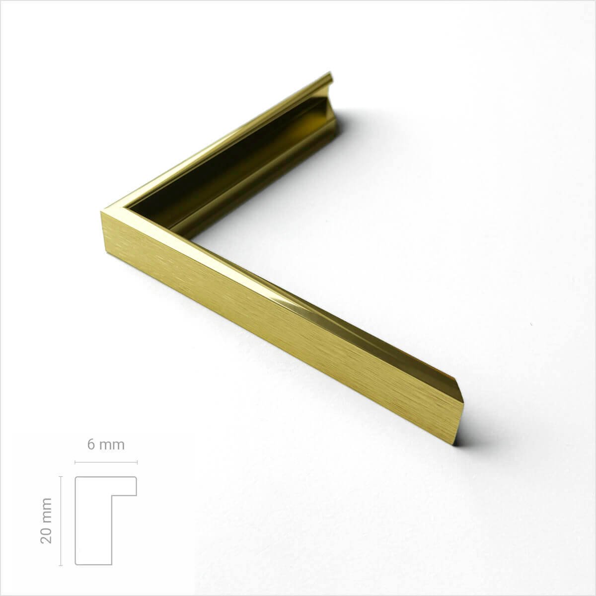
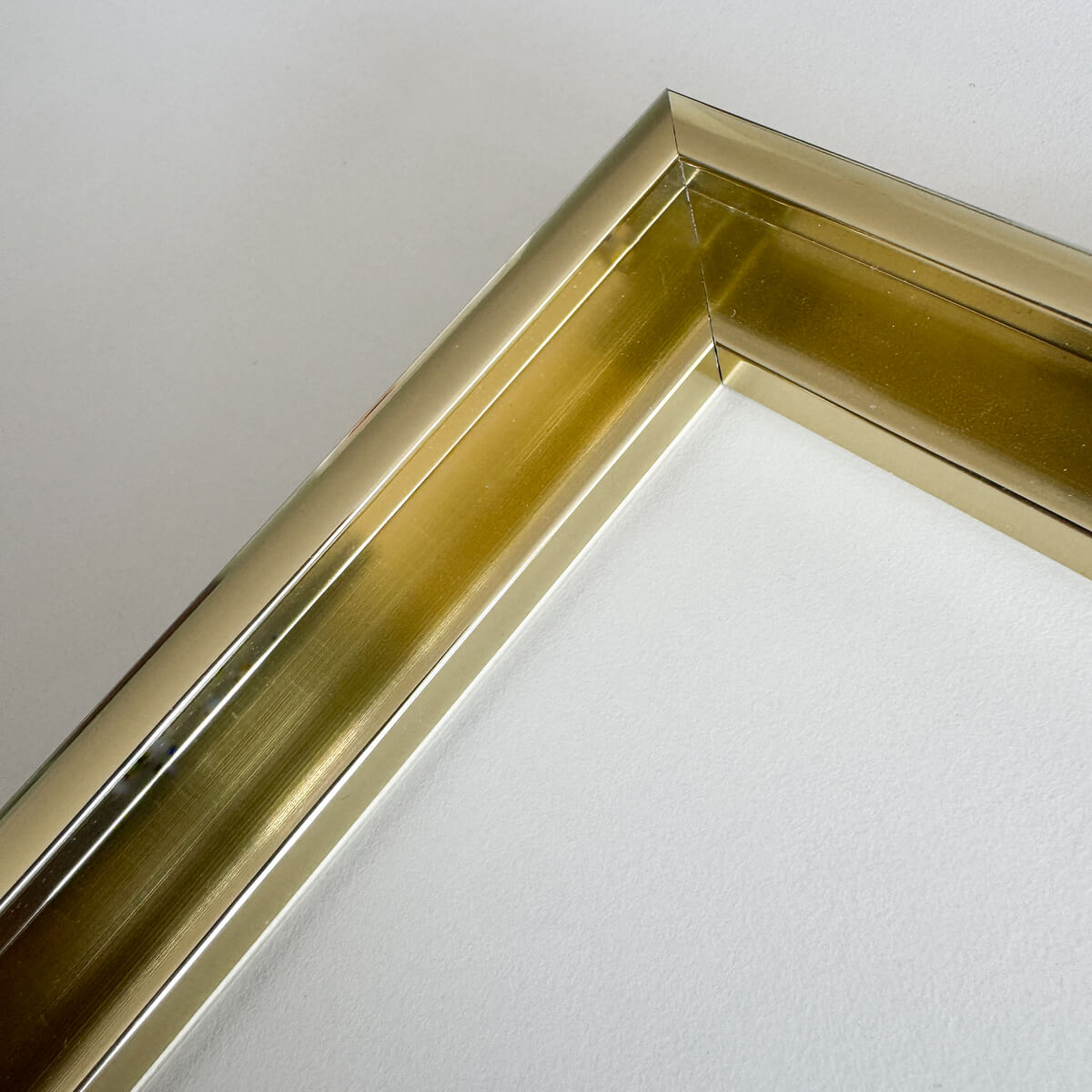
Golden premium aluminum frame - Narrow (6 mm) - Custom size
Sale price$17.00
From
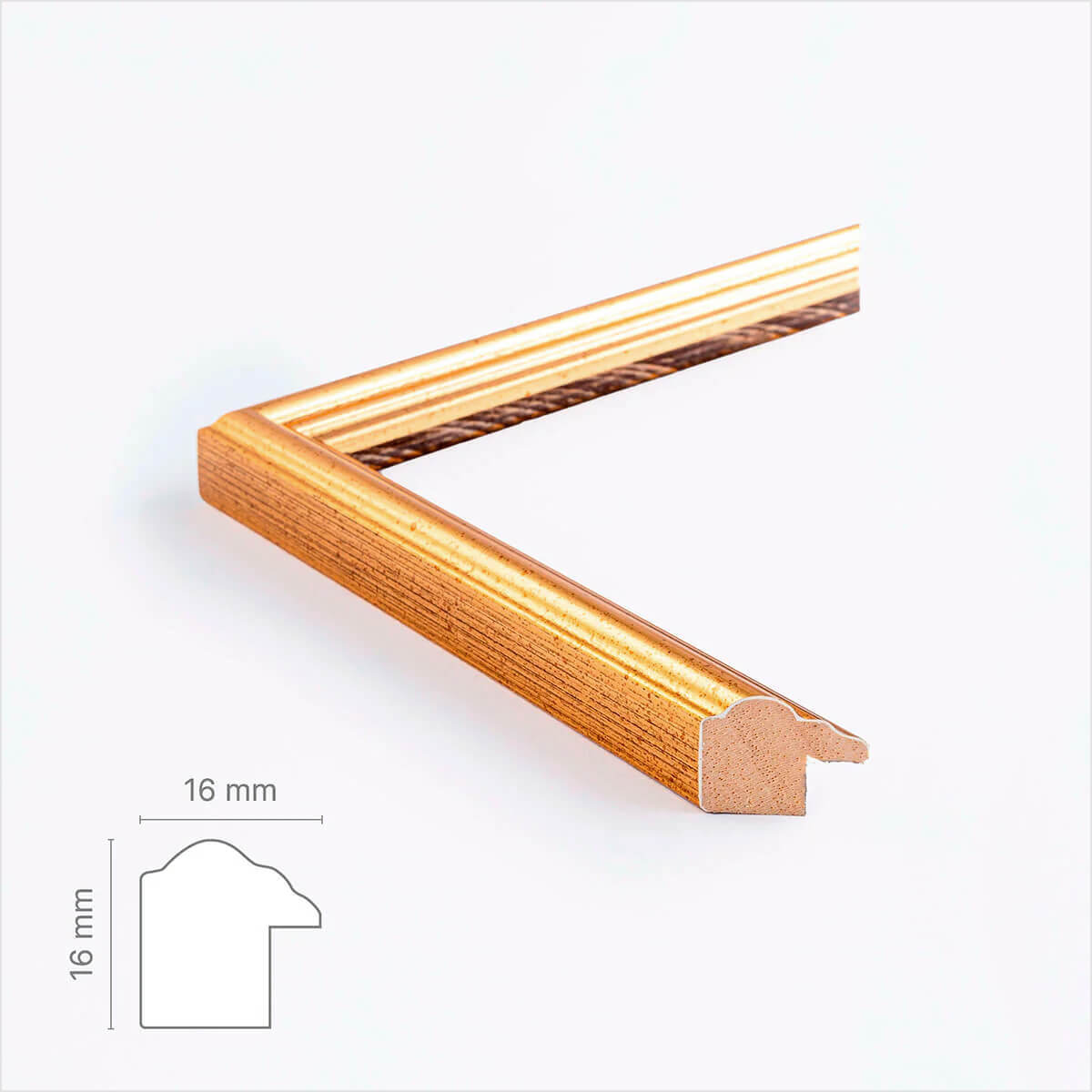
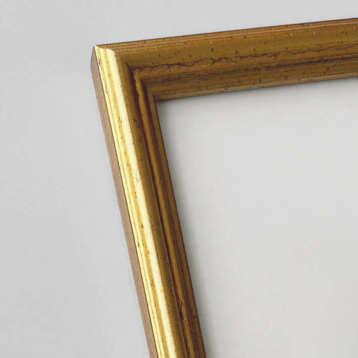
Vintage gold frame - Narrow (16 mm) - Custom Size
Sale price$18.00
From
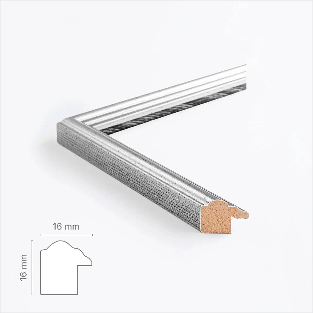
Vintage silver frame - Narrow (16 mm) - Custom size
Sale price$18.00
From
Recently added
Vintage lithographs
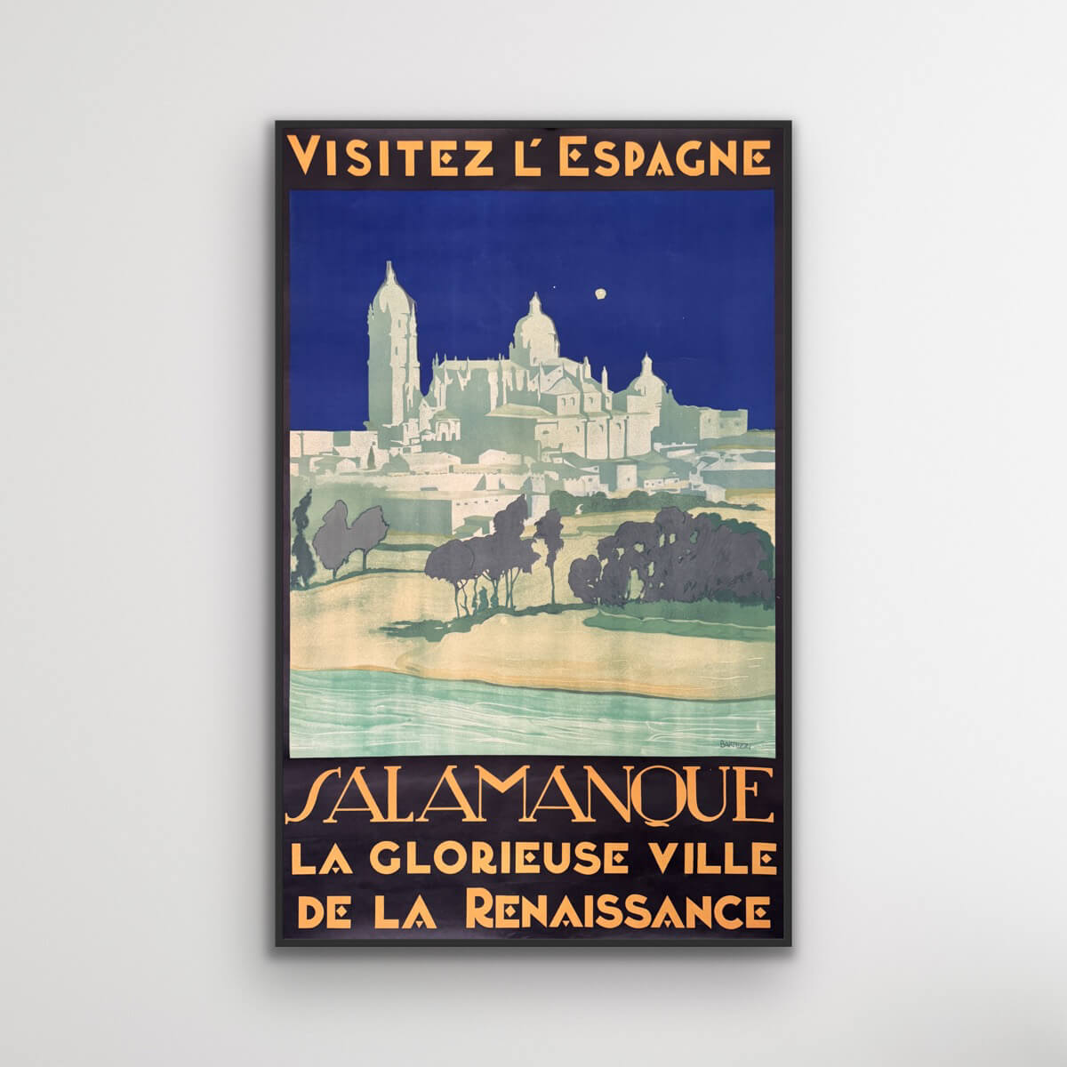
Salamanca - Visit Spain
Sale price$1,611.00
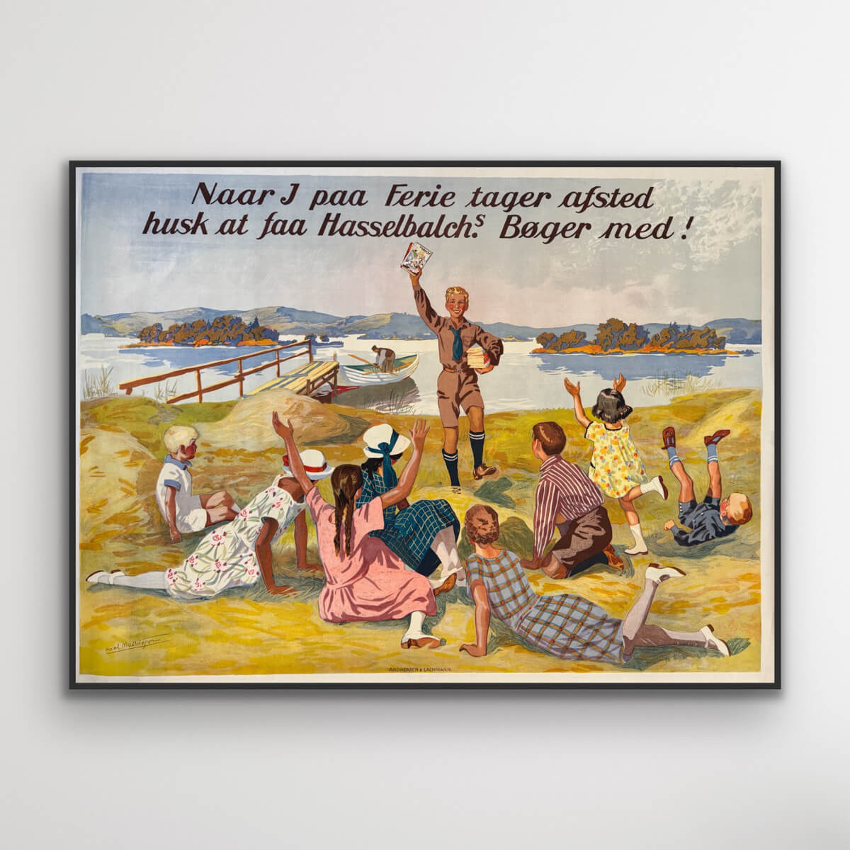
Hasselbach's books
Sale price$1,531.00
The Zugspitze - Germany
Sale price$613.00
Das Osaka-Schloss - Japan
Sale price$1,176.00
Visit Malaya
Sale price$4,027.00
Hourly service - Safe and Fast
Sale price$725.00
Savoy
Sale price$774.00
Monte Rosa - Journey into the Mediterranean
Sale price$3,061.00


