

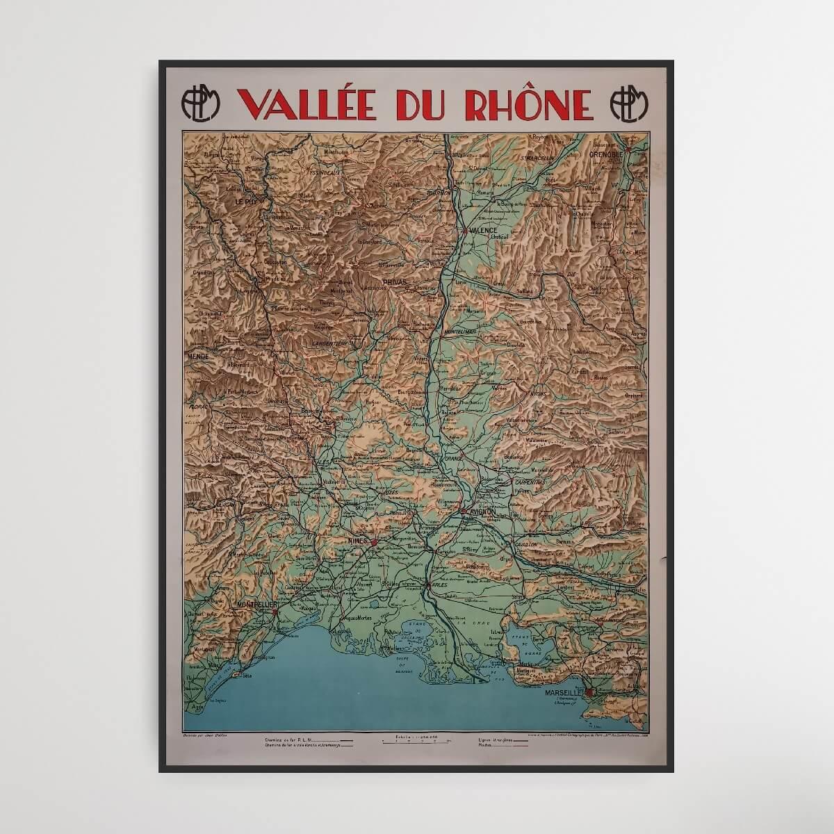
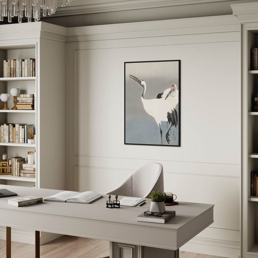
Vallée du Rhône - French map
| Designer: | Jean Dollfus |
| Decade: | 1930s |
| Year: | 1930 |
| Dimensions: | 78 x 108 cm |
| Lithographically printed by: | The Paris Cartographic Institute |
| Country: | France |
| Condition: | 8/10 |

✓ Original - not a reprint!
✓ Delivery in 2-4 working days
✓ 100 days right of return
This old map from Vallée du Rhône is part of a series of maps of different areas of France. The Rhone Valley is a French region located on either side of the Rhone in southeastern France. The most famous cities on this map are Marseille, Montpellier, Nimes, Avignon and Valence.
Condition: 8/10 - Patina and edge cracks - especially on the right side.
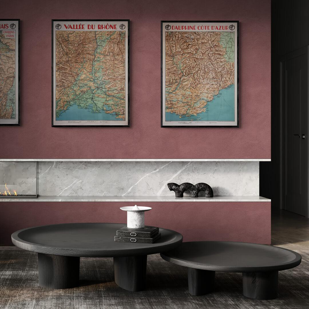
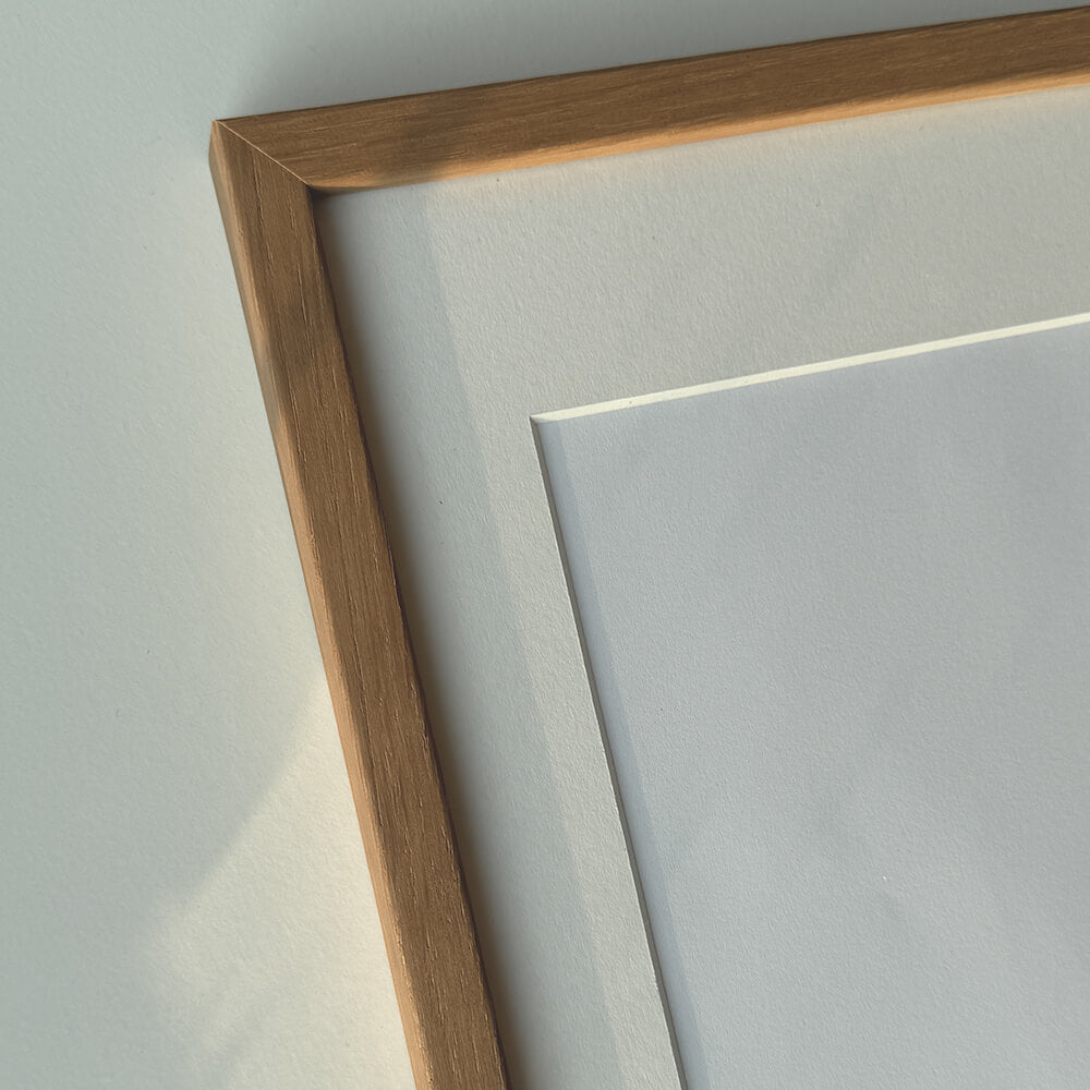
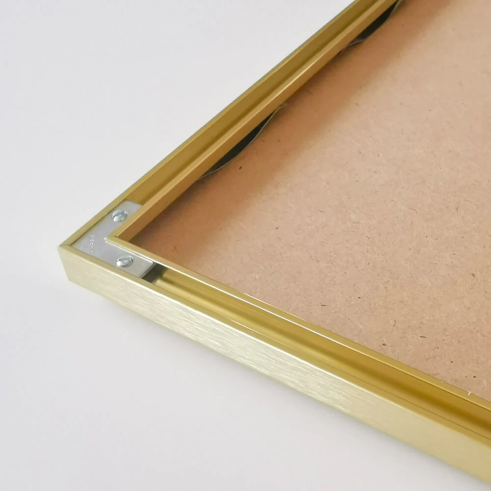
Frame is not included. See our large selection of exclusive frames, which can be precisely adapted to the map's large 78x108 cm format.
Condition: 8/10 - Patina and edge cracks - especially on the right side.
Frame is not included. See our large selection of exclusive frames, which can be precisely adapted to the map's large 78x108 cm format.
0
Vallée du Rhône - French map
Sale price$691.00
Choose options
Vallée du Rhône - French map
Sale price$691.00
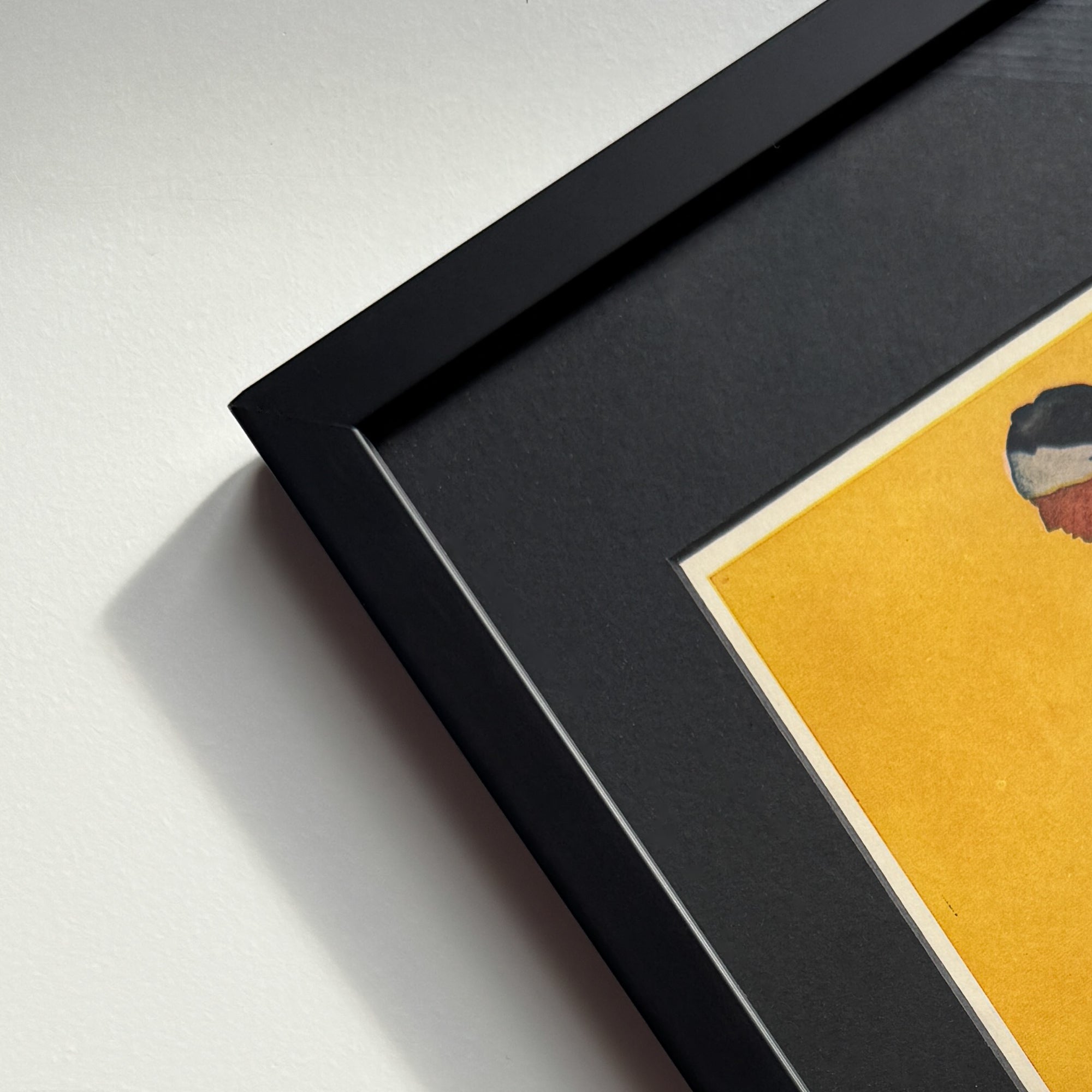
Should the poster be framed?
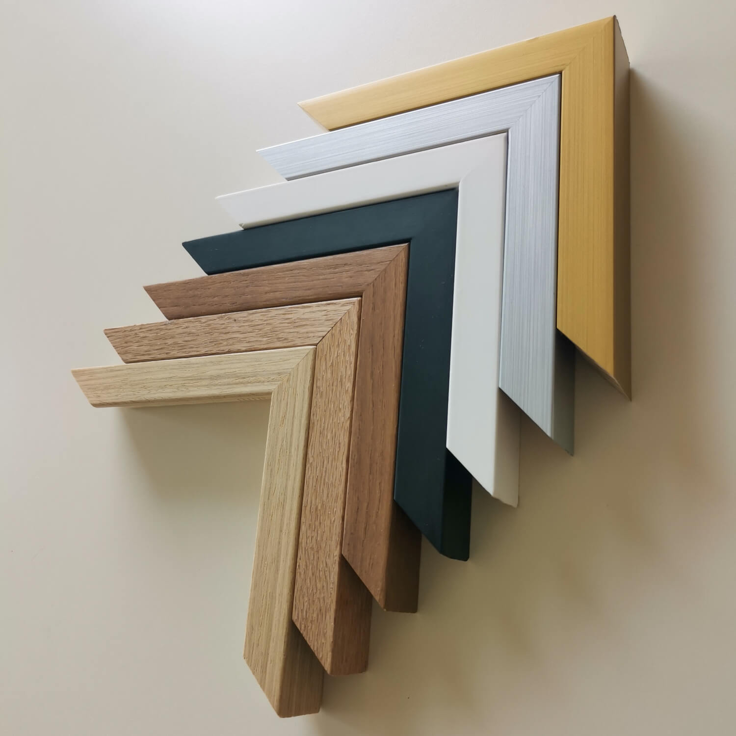
Custom-size frames
Framebox - Custom size
Sale price$38.00
From
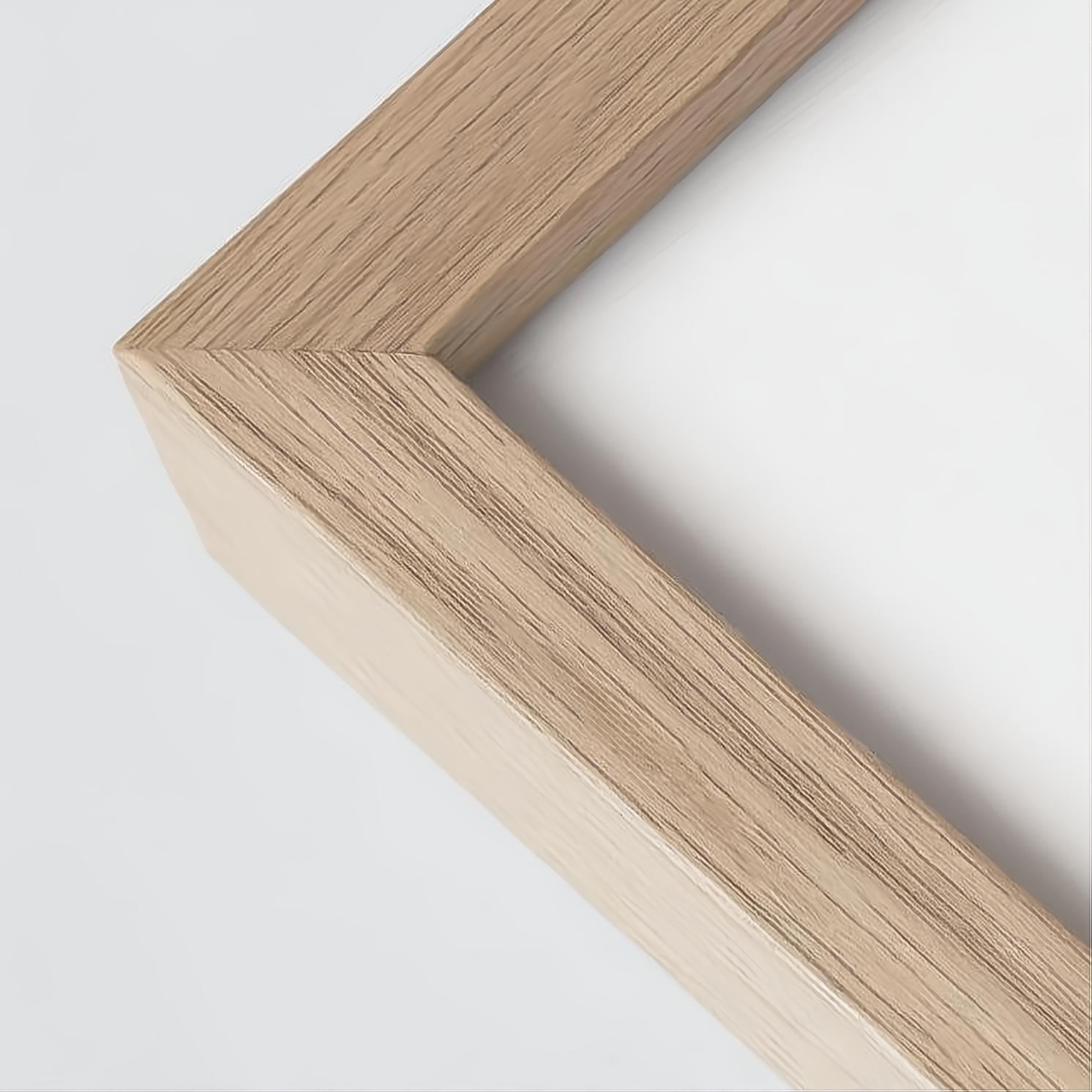

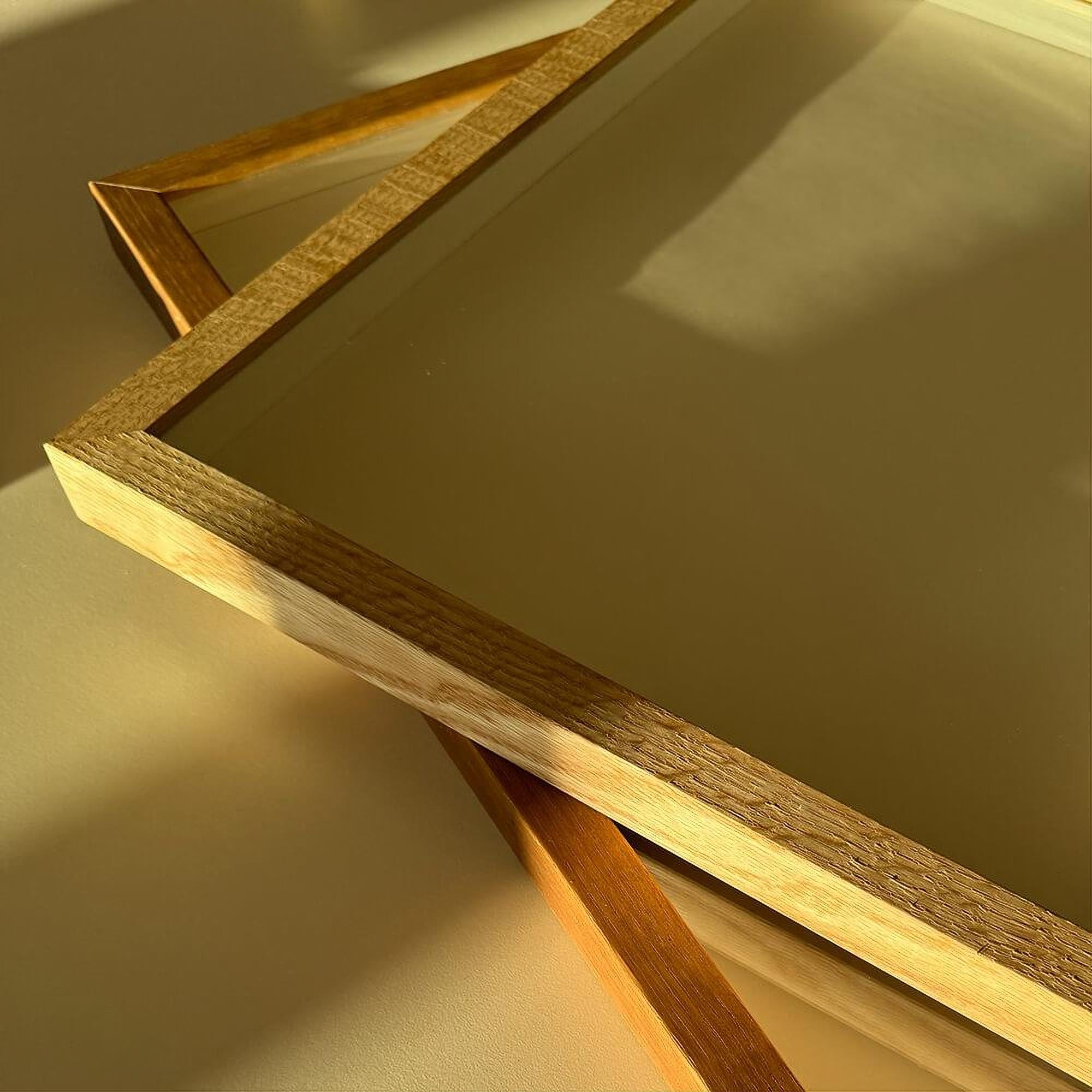
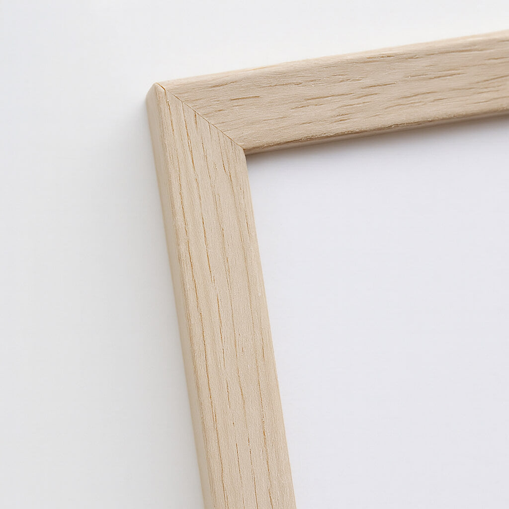
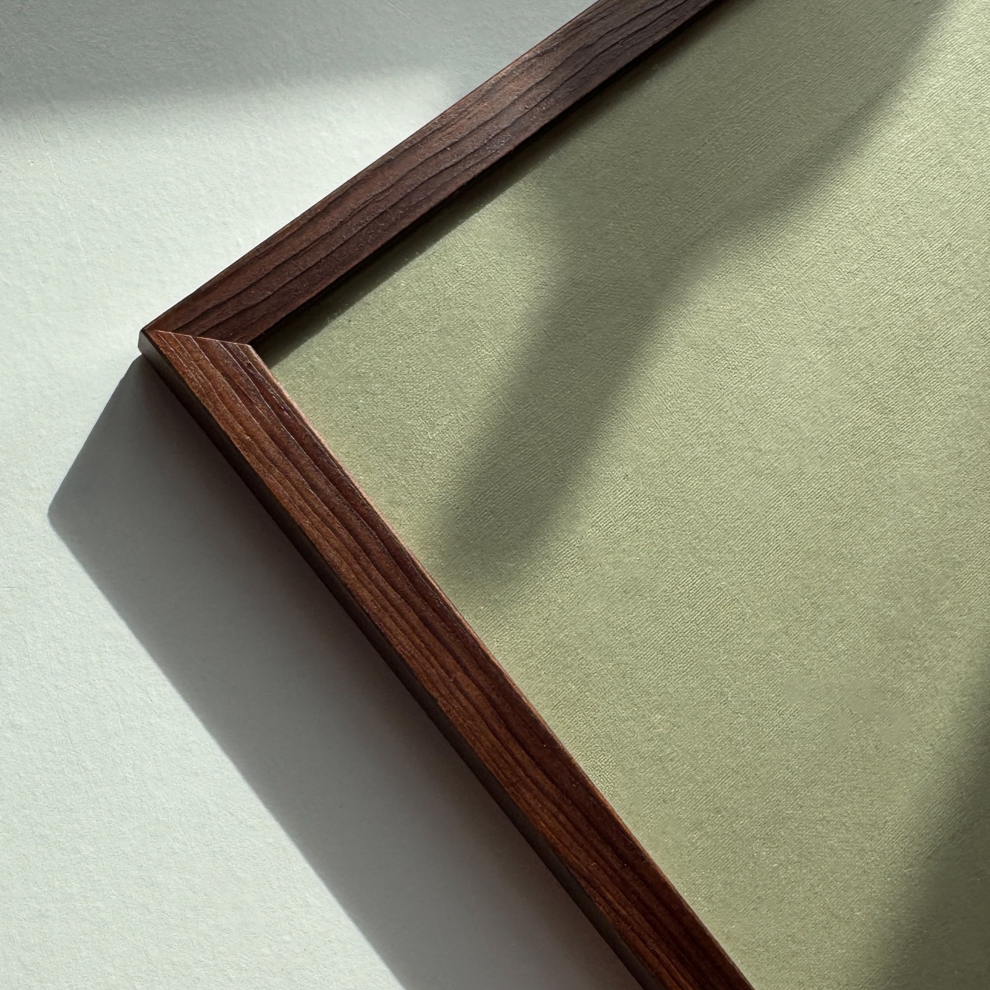
Custom size oak frame - Wide (20 mm)
Sale price$22.00
From
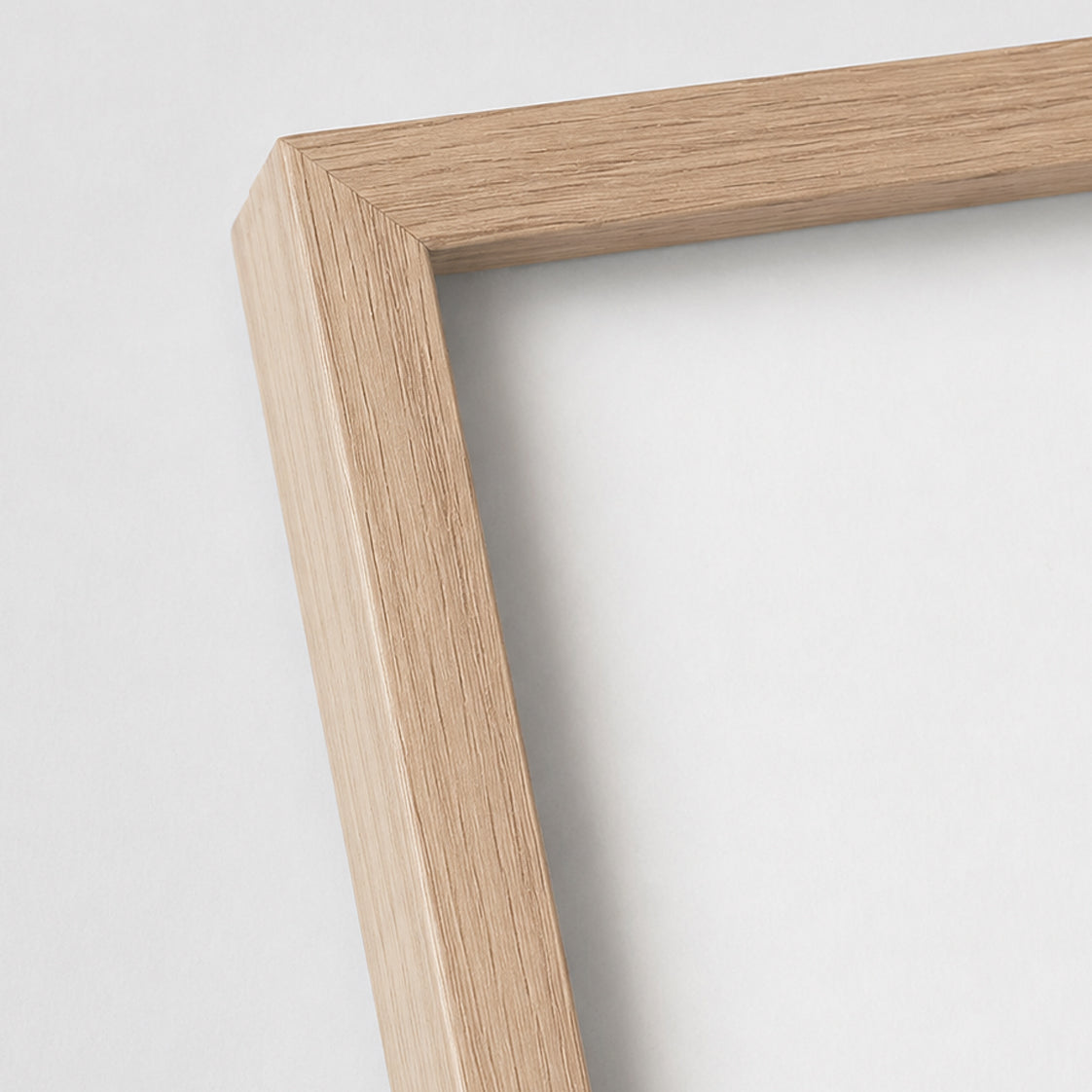
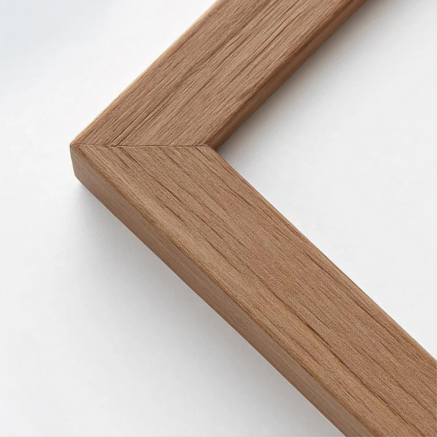
Solid oak frame - Narrow (13 mm) - Custom size
Sale price$18.00
From
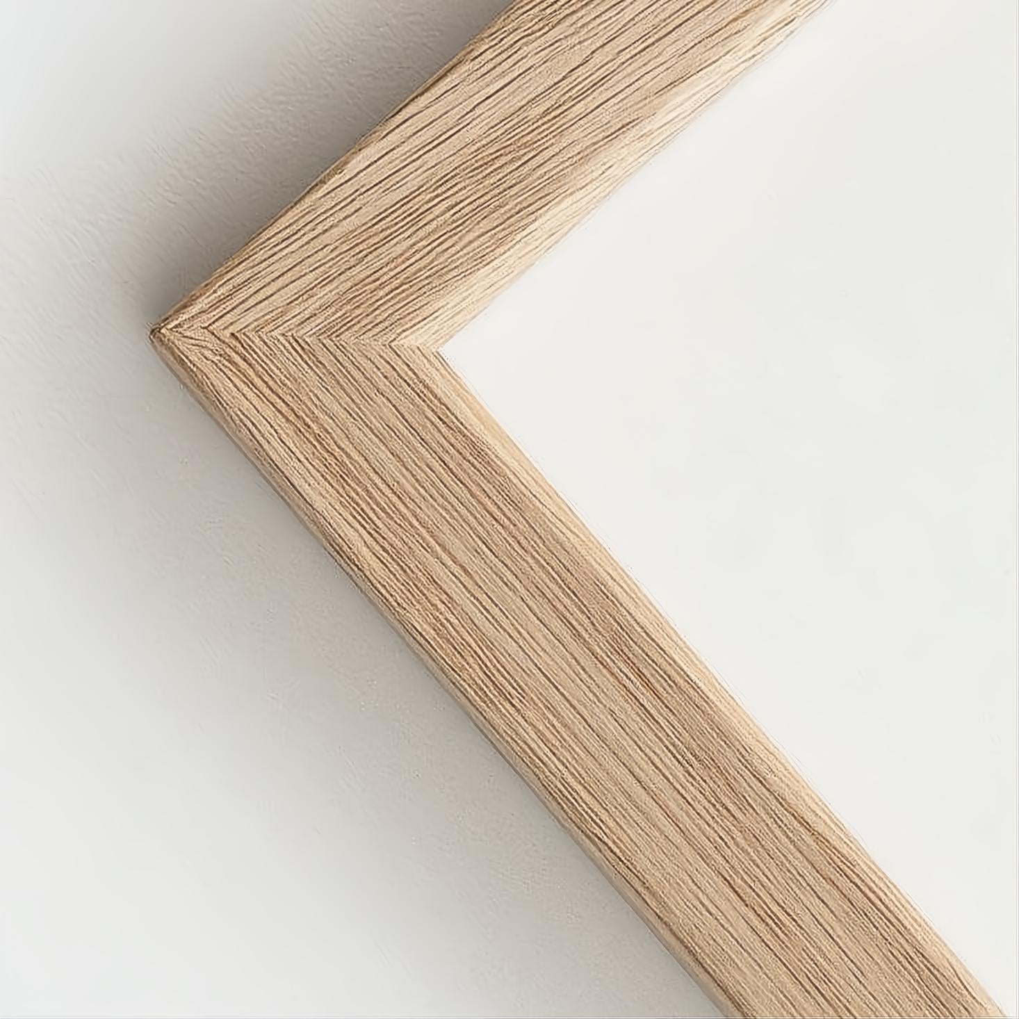

Solid oak frame - Custom size - Narrow (12 mm)
Sale price$15.00
From

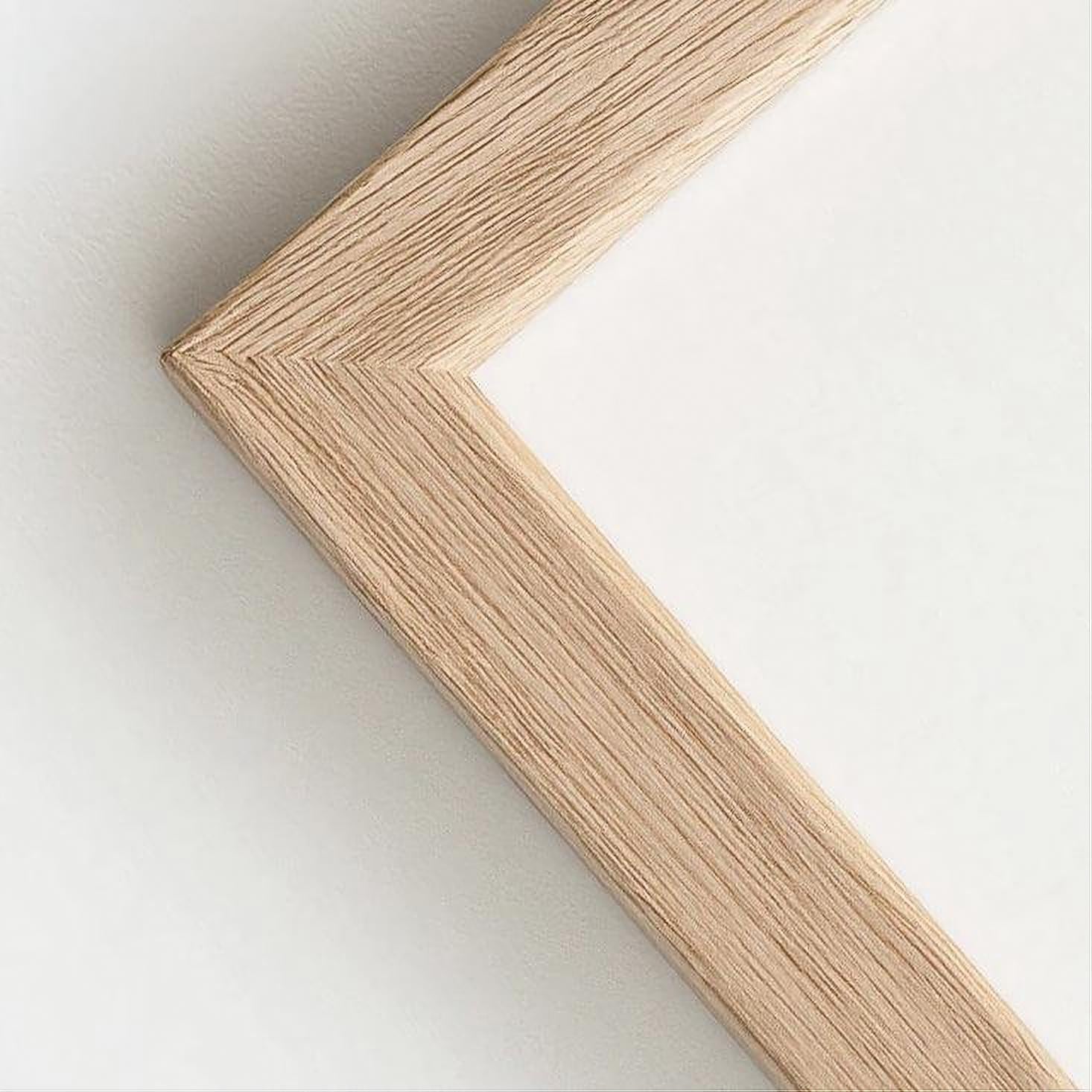
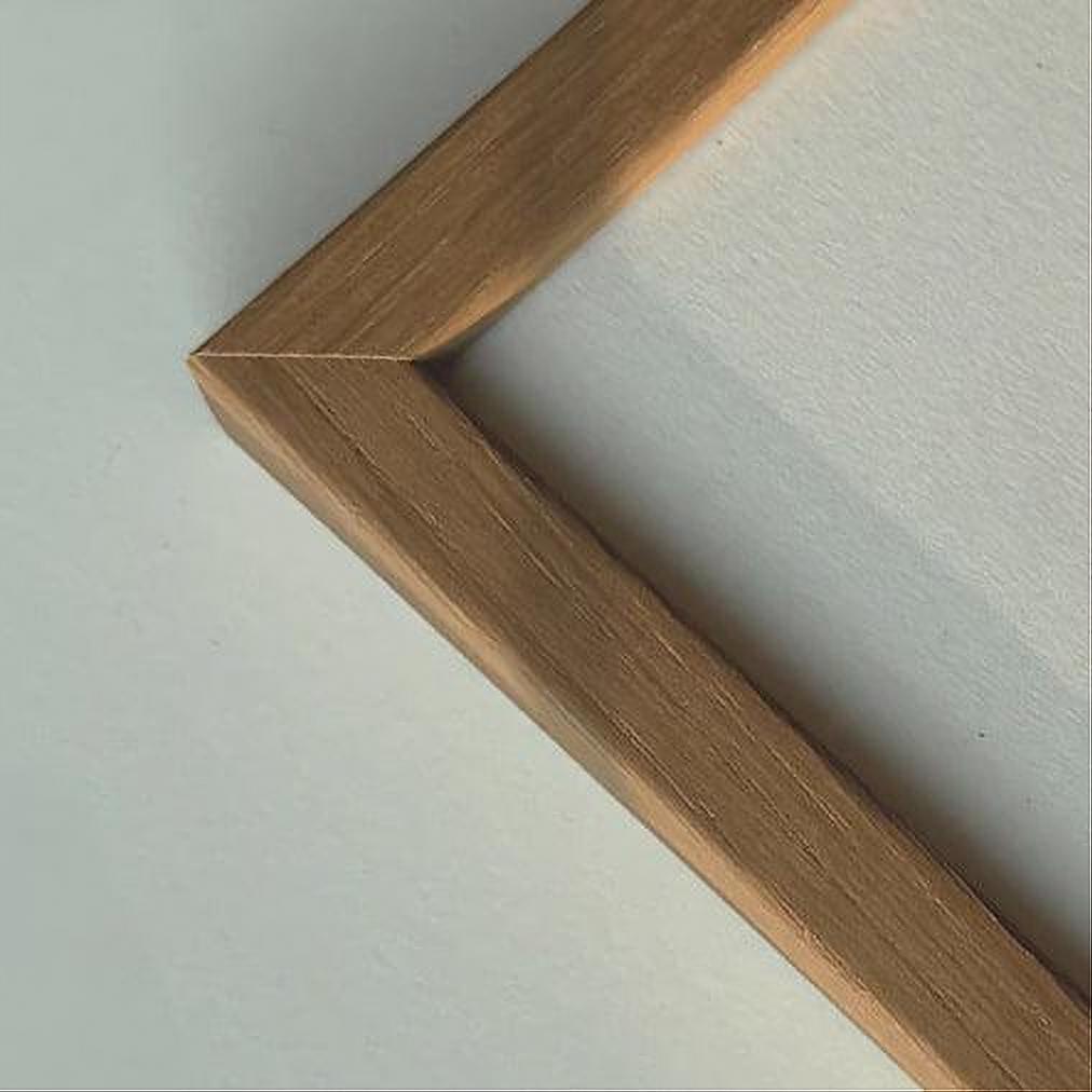
Light oak frame - Narrow (15 mm) - Custom Size
Sale price$15.00
From

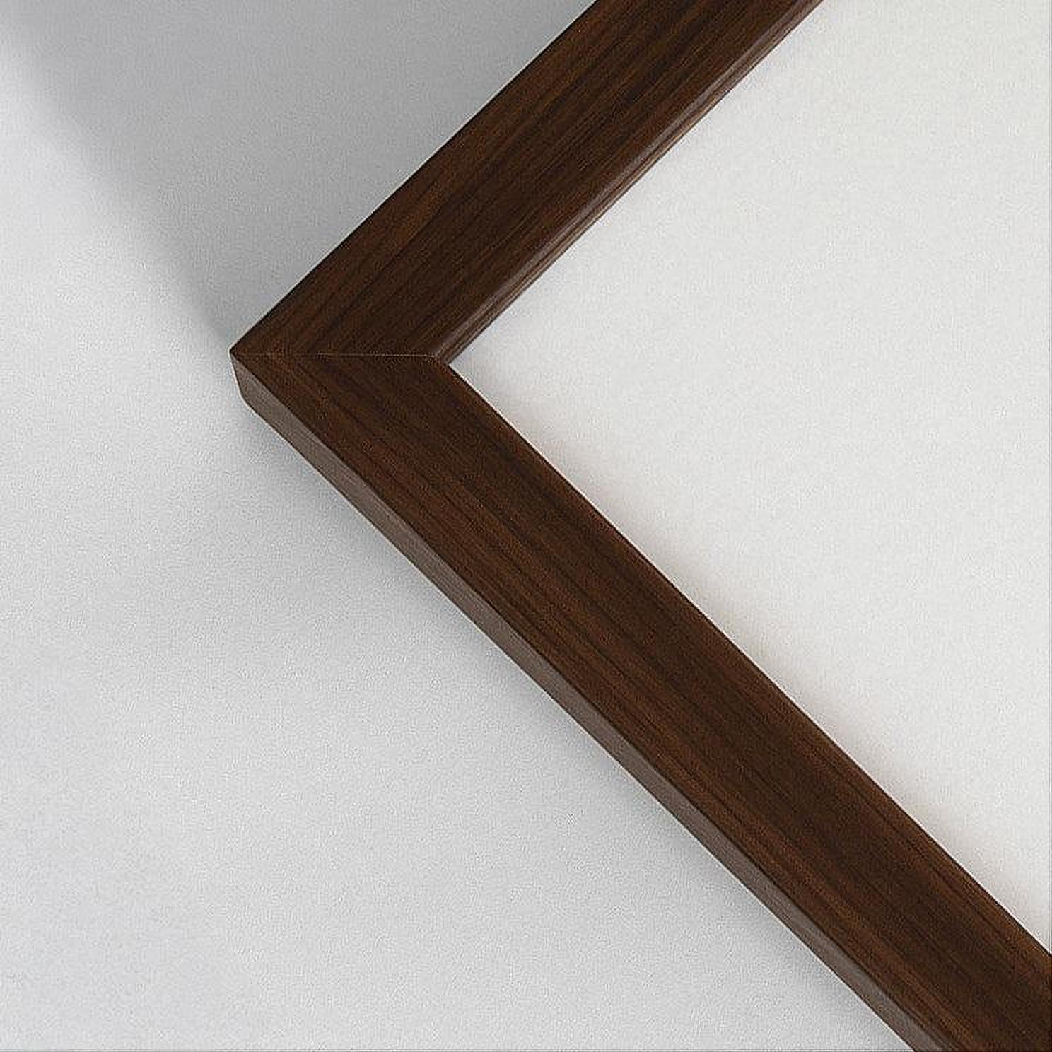
Dark oak frame - Wide (20 mm) - Custom size
Sale price$13.00
From
Dark oak wooden frame - Narrow (15 mm) - Custom size
Sale price$15.00
From
Dark wooden frame – Narrow (10 mm) – Custom size
Sale price$13.00
From
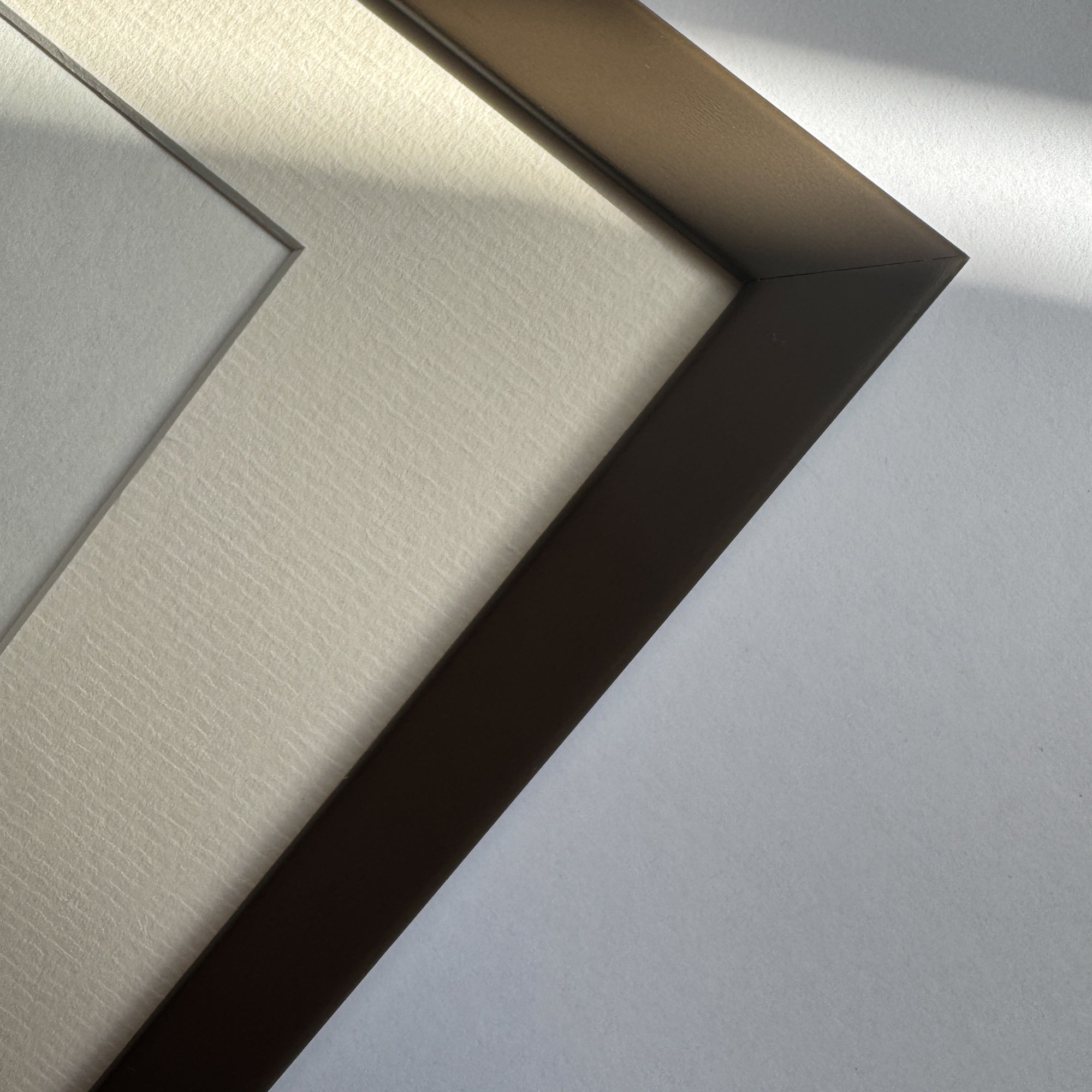
Brown matte wooden frame - Narrow (15 mm) - Custom size
Sale price$13.00
From
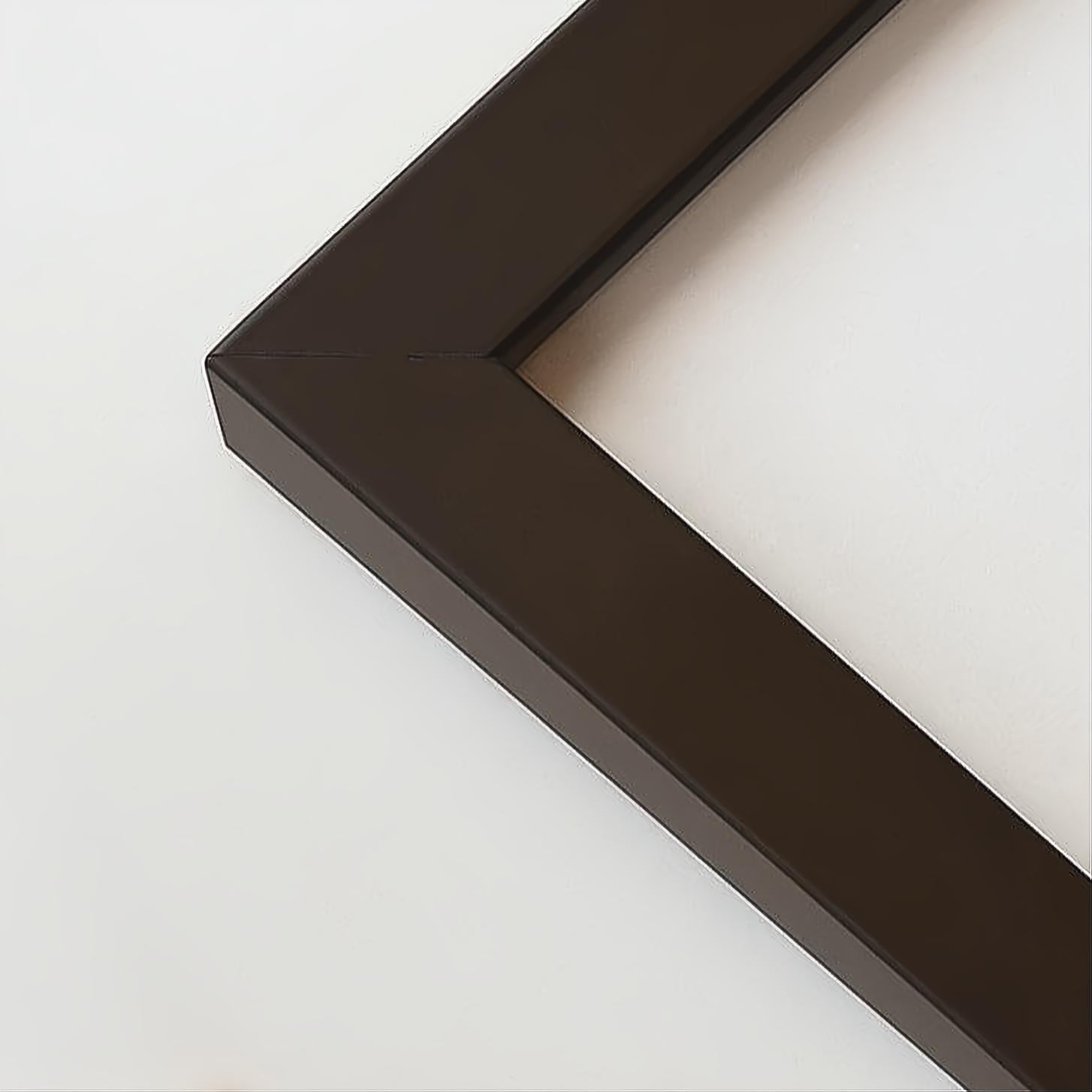
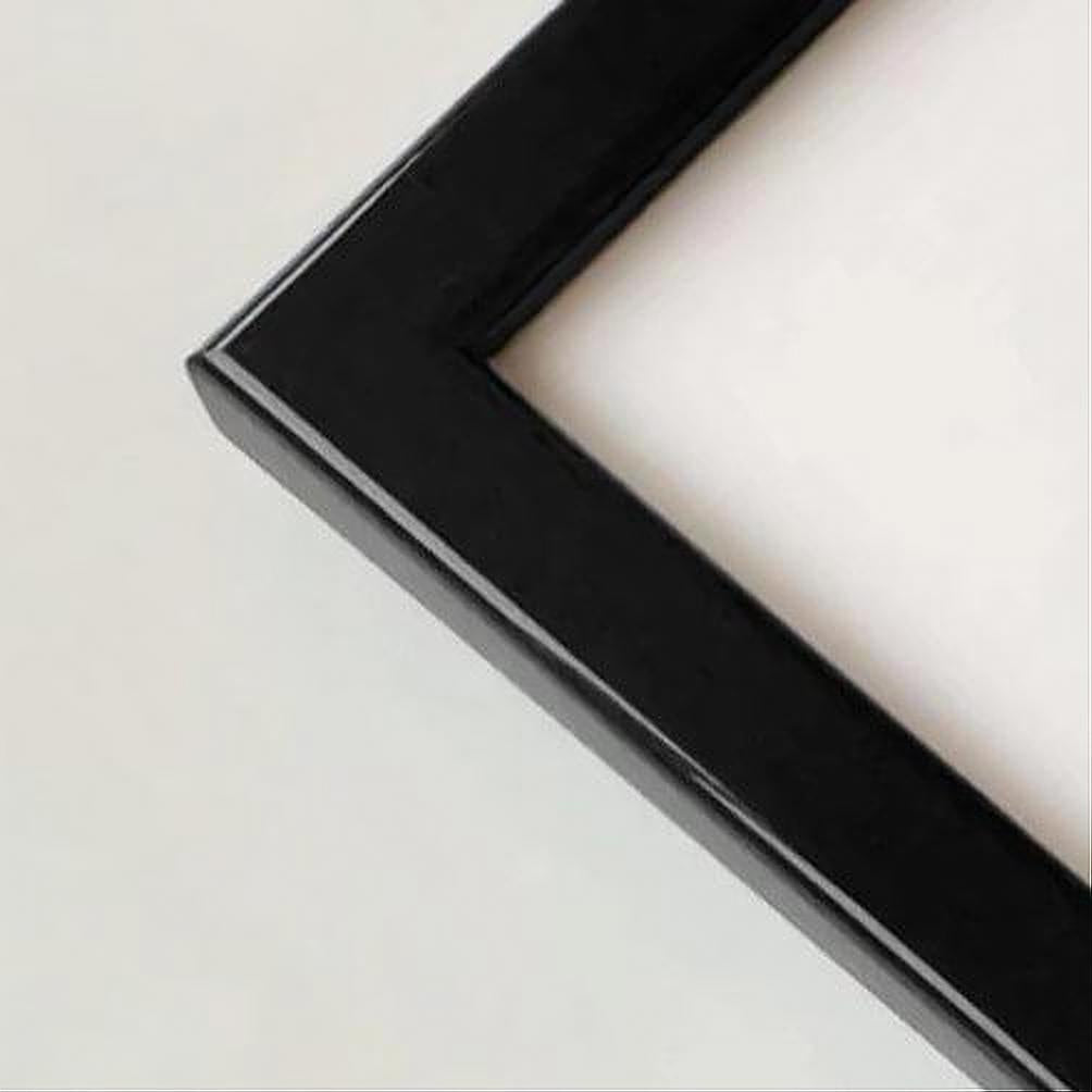
Black wooden frame - Wide (20 mm) - Custom Size
Sale price$20.00
From
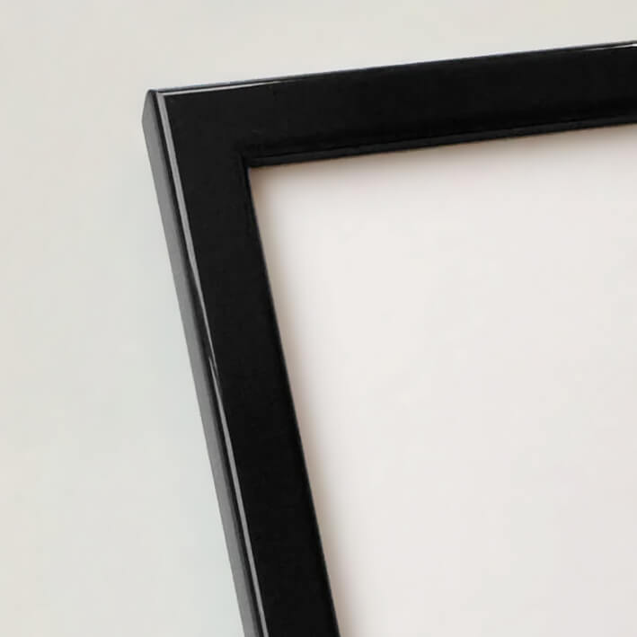
Black wooden frame - Narrow (15 mm) - Custom Size
Sale price$13.00
From
Black glossy wooden frame - Narrow (13 mm) - Custom size
Sale price$13.00
From
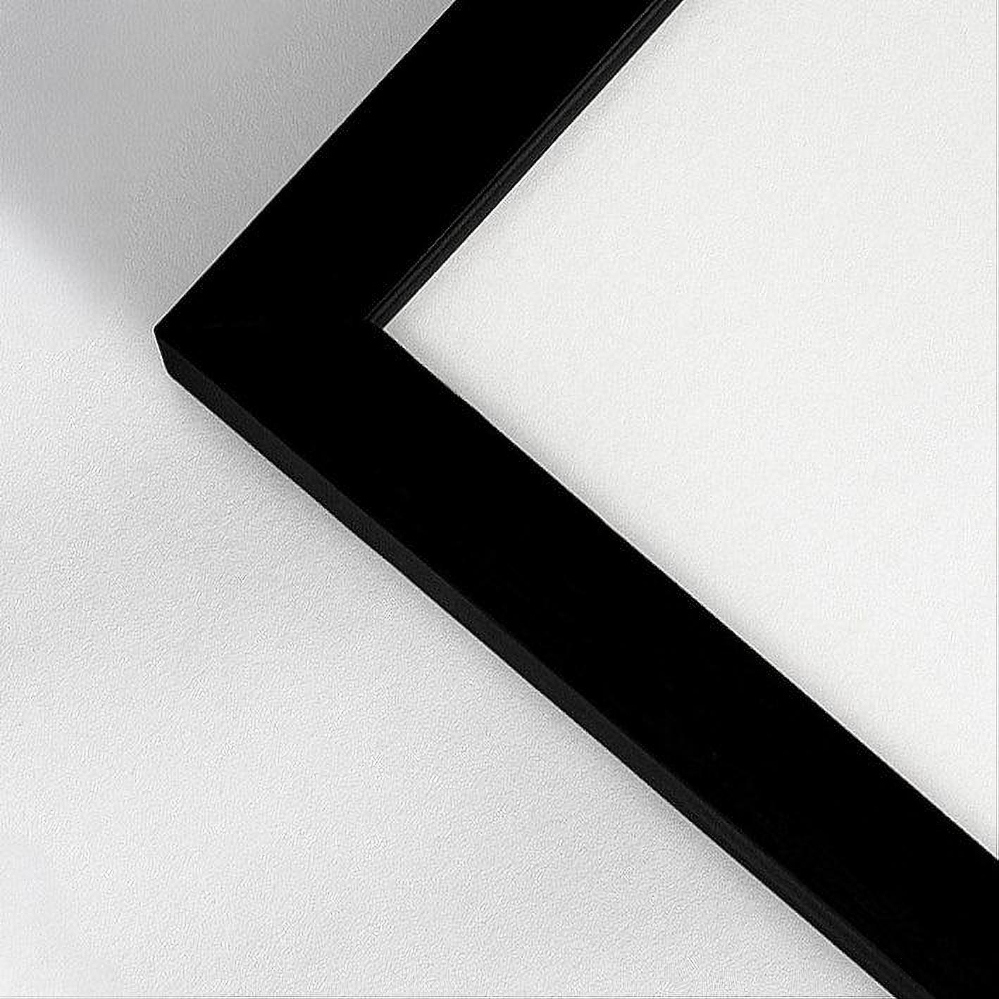

Black wooden frame - Narrow (10 mm) - Custom size
Sale price$13.00
From

Black premium aluminum frame - Narrow (6 mm) - Custom Size
Sale price$20.00
From
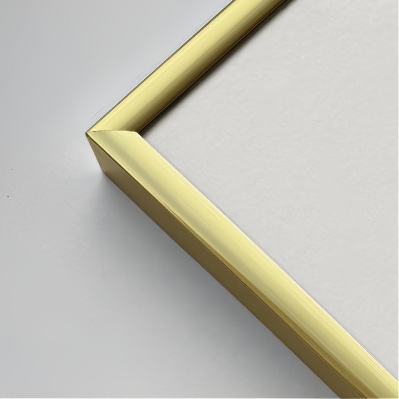
Golden premium aluminum frame - Narrow (6 mm) - Custom size
Sale price$20.00
From
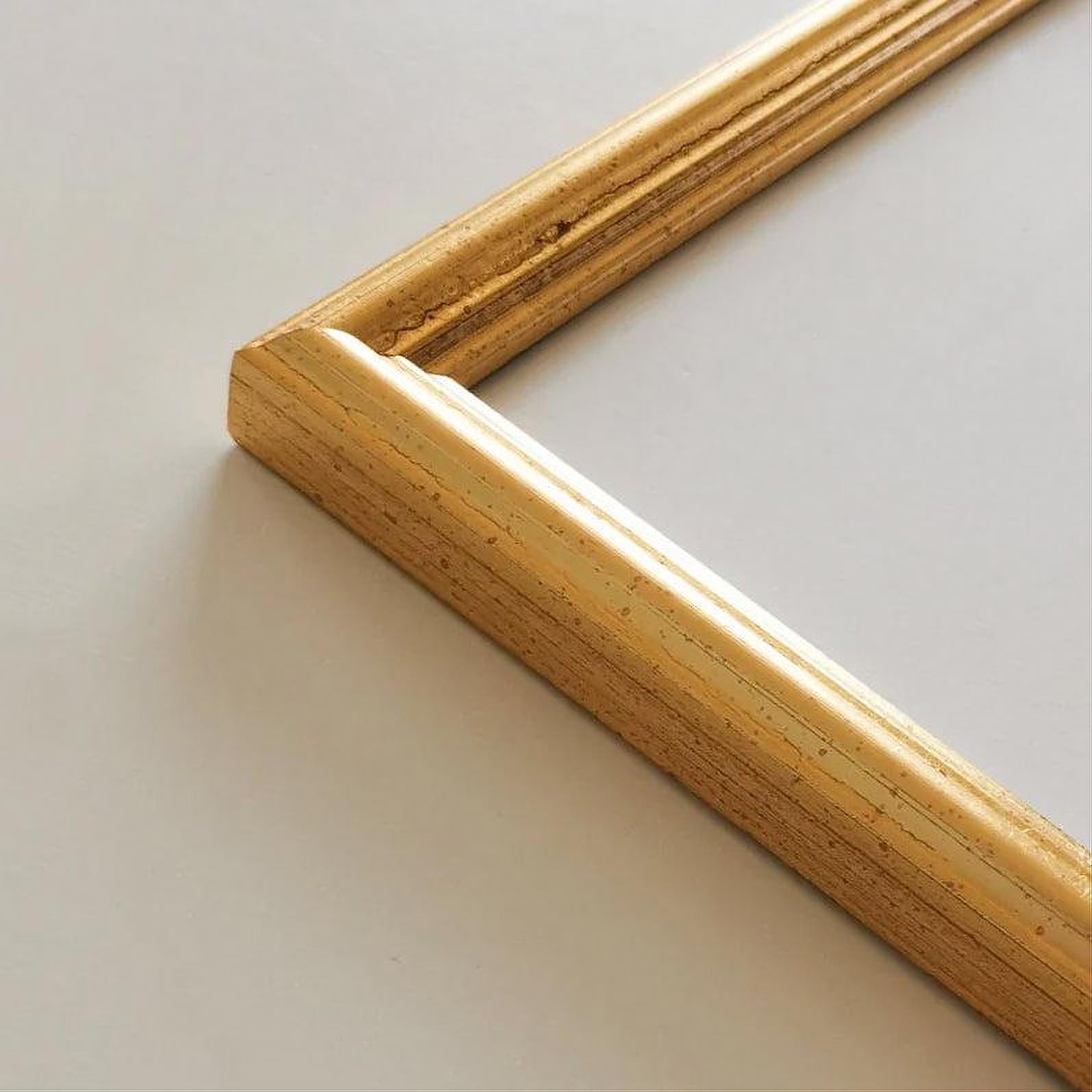
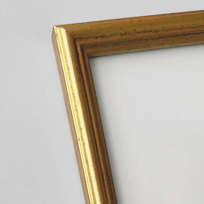
Vintage gold frame - Narrow (16 mm) - Custom Size
Sale price$25.00
From
Recently added
Vintage lithographs
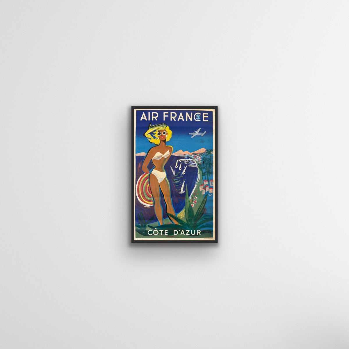

Côte d'Azur - Air France
Sale price$942.00
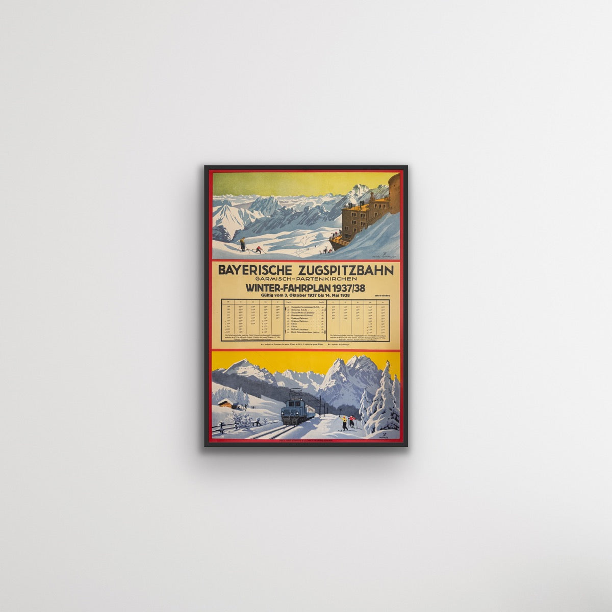
Winter Timetable 1937/1938 - Bavarian Zugspitz Railway
Sale price$1,570.00
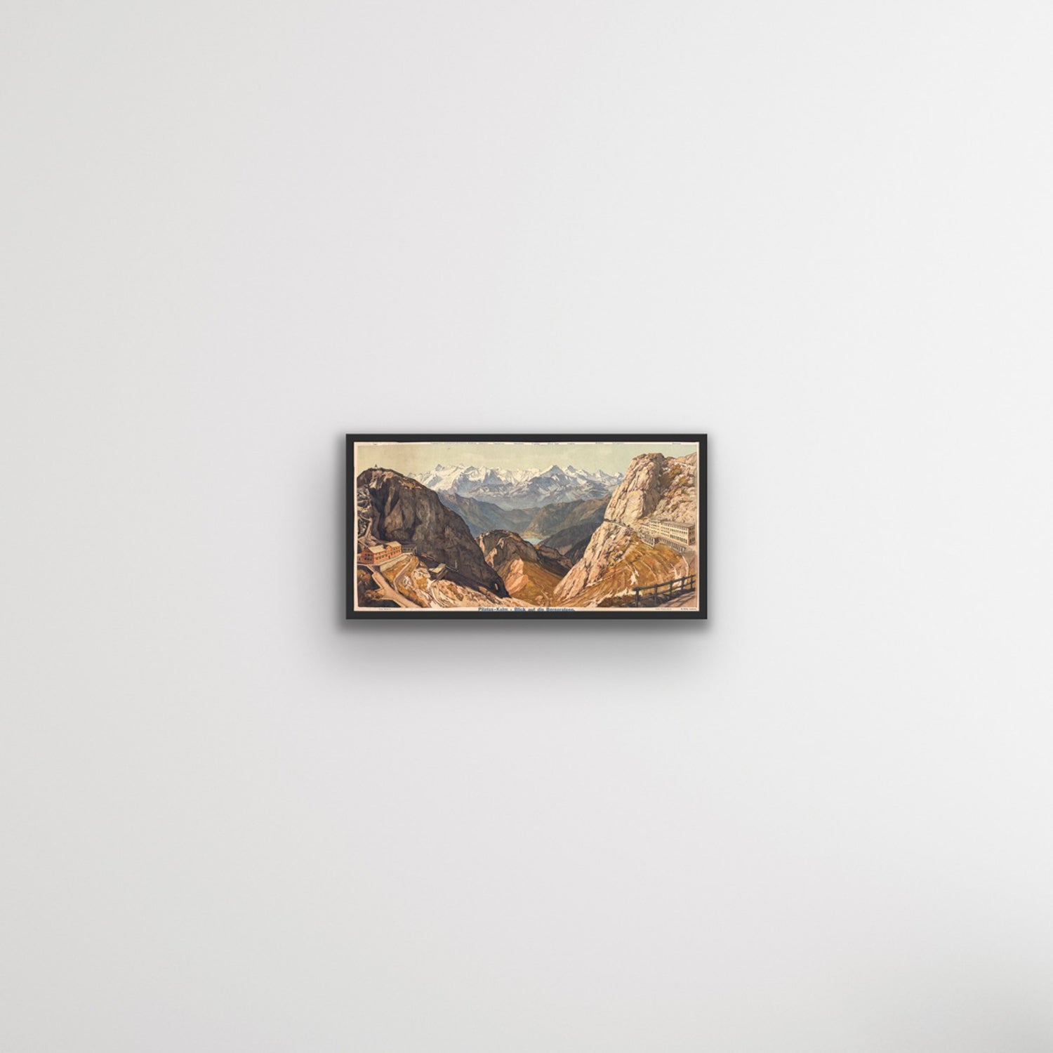
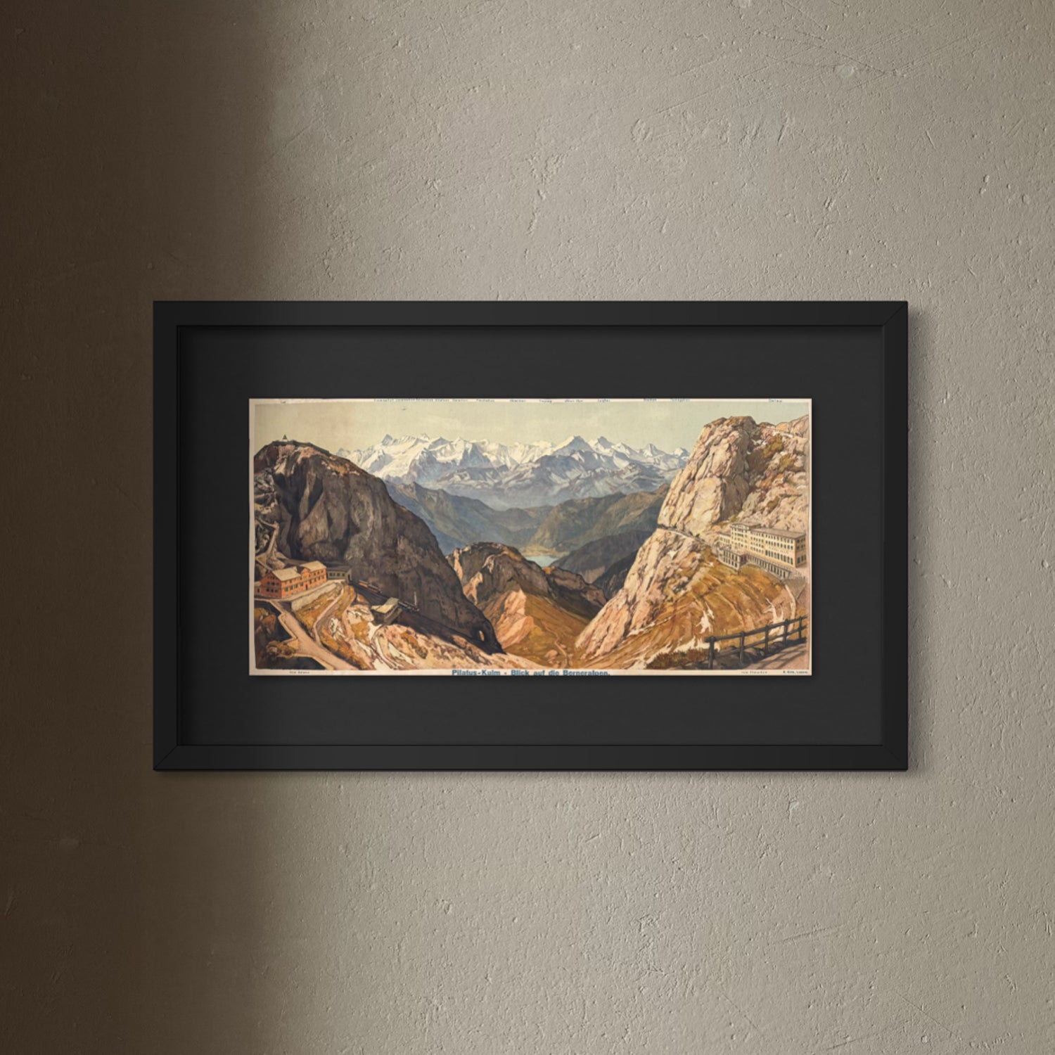
Pilatus-Kulm – Blick auf die Berneralpen
Sale price$1,413.00
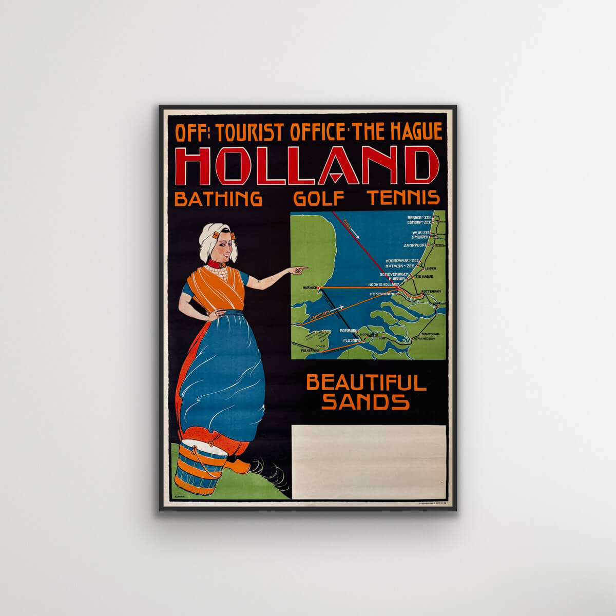
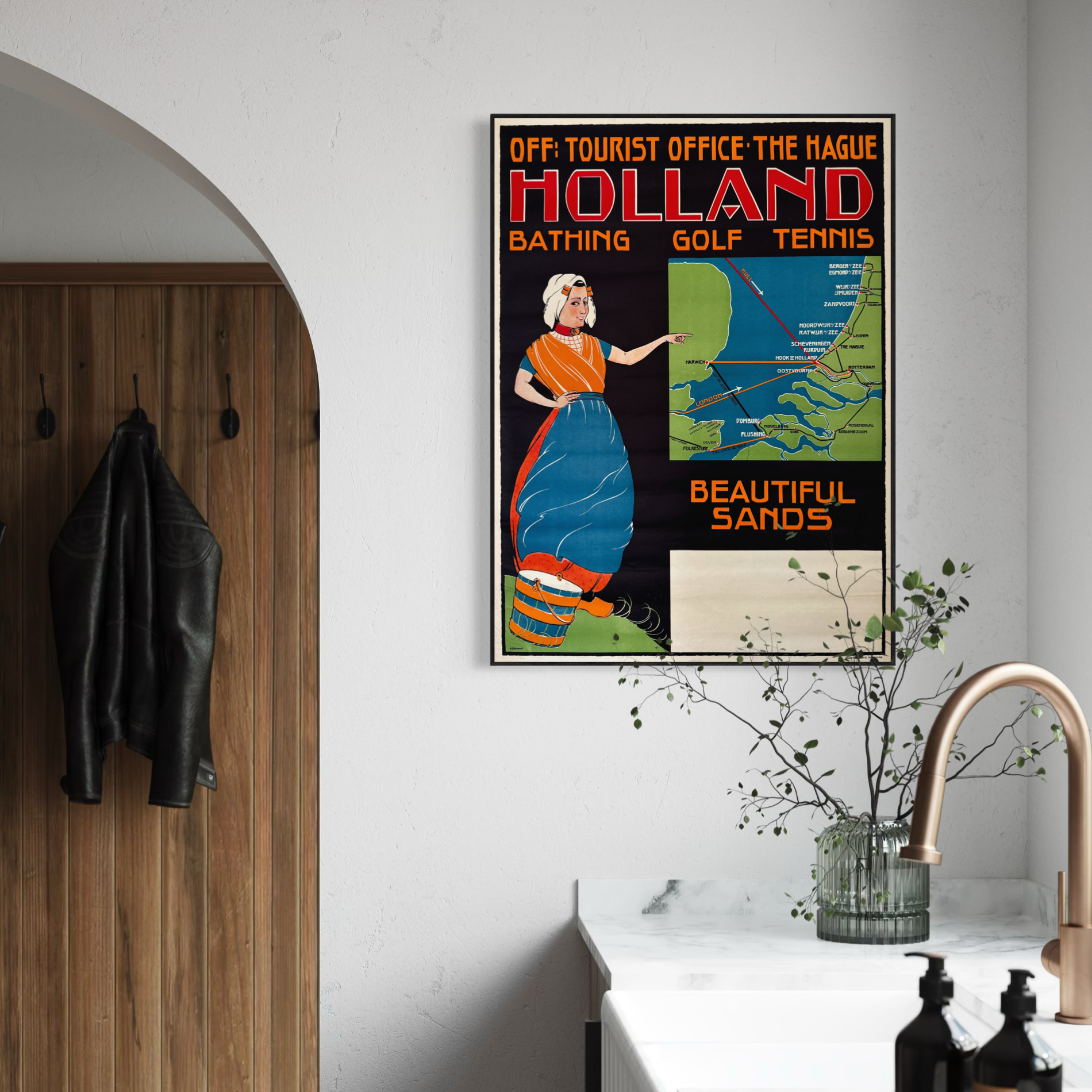
Beautiful Sands – Holland
Sale price$1,178.00
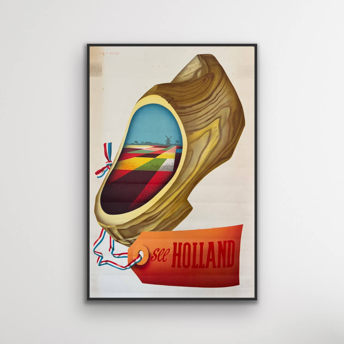
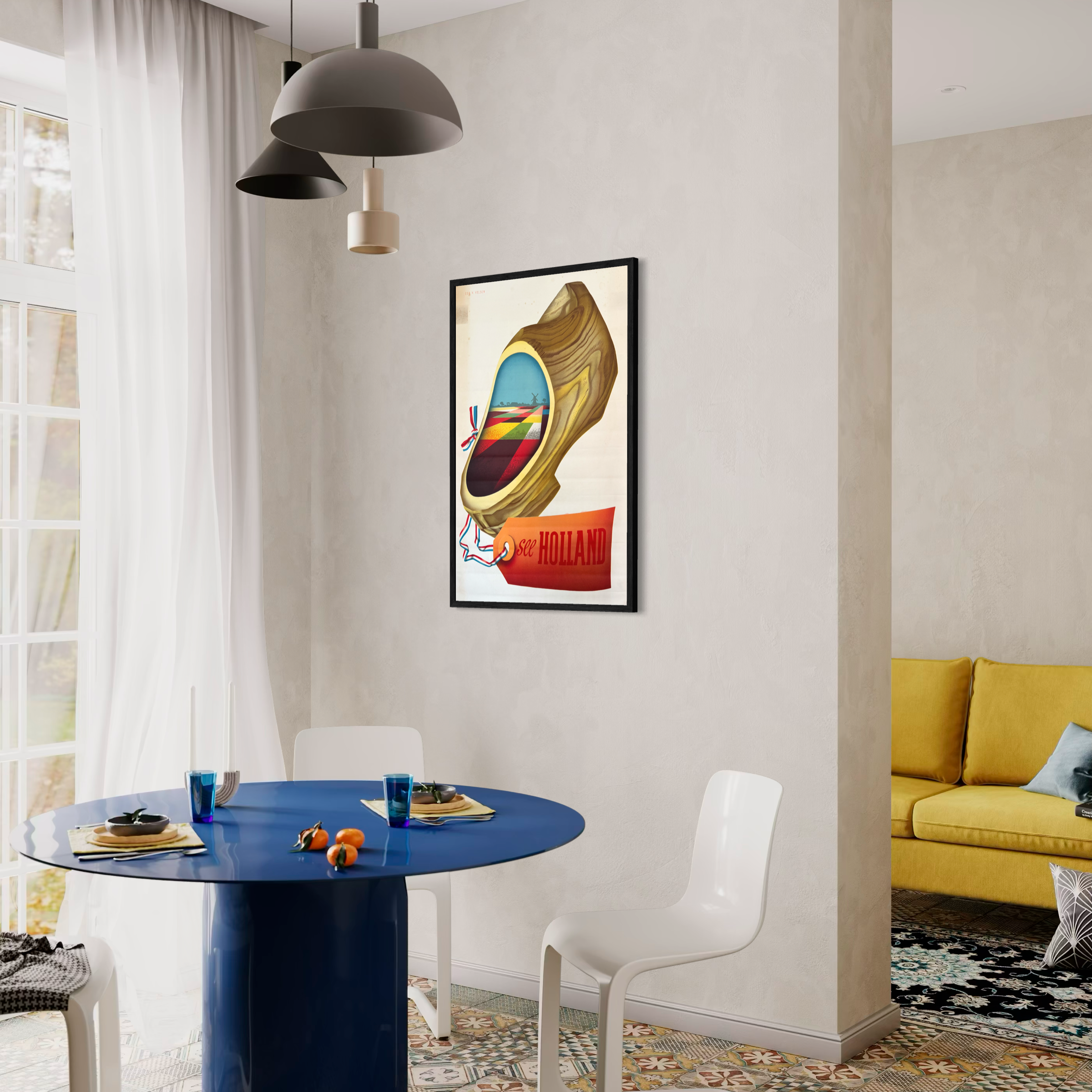
The Dutch Clog – See Holland
Sale price$628.00
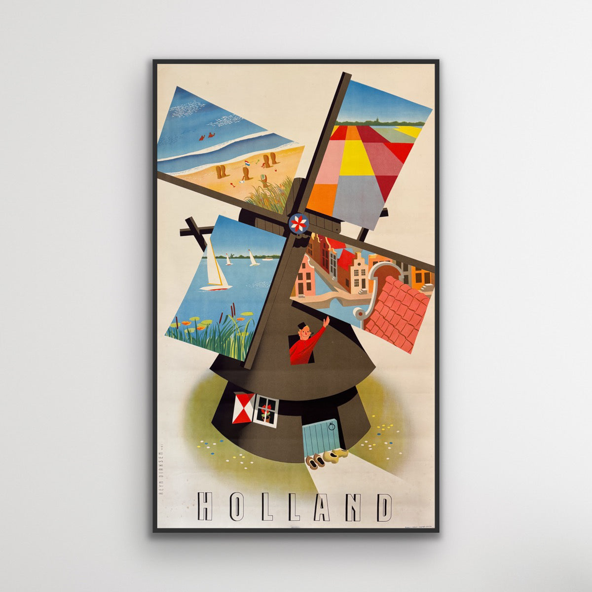
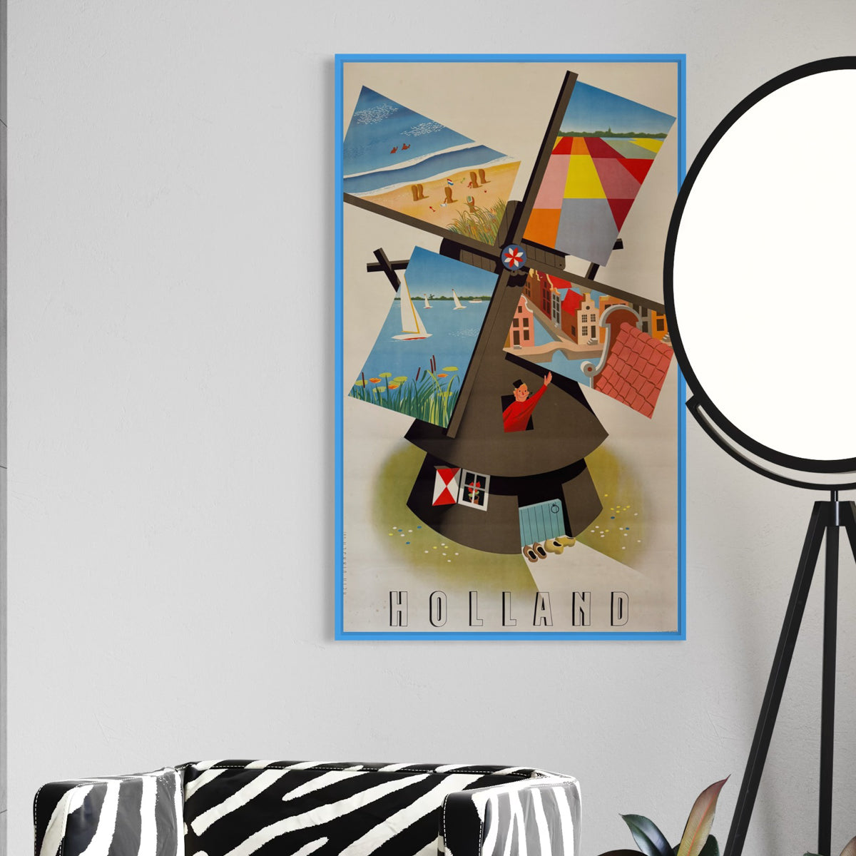
Holland - The Dutch Windmill
Sale price$927.00


Gripsholm Castle
Sale price$1,461.00


Prinsess Coffee
Sale price$707.00